2026-02-23T13:00:00-08:00
Snow levels will range between 3,000 to 4,000 ft. * WHAT...Snow expected. Total snow accumulations 8 to 12 inches. * WHERE...Cascades of Snohomish and Northern King Counties and Cascades of Whatcom and Skagit Counties. * WHEN...From 8 PM this evening to 1 PM PST Monday. * IMPACTS...Travel could be very difficult to impossible. The hazardous conditions could impact the Monday morning commute.
Summary
With its imposing elevation and grandeur, it stands as a remarkable feature in the region. Rising to an impressive height of 2,831 meters (9,288 feet), Hubbart Peak offers breathtaking panoramic views of the surrounding landscape, making it a coveted destination for mountaineers and outdoor enthusiasts.
During the winter season, Hubbart Peak receives a substantial amount of snowfall, contributing to its challenging climbing conditions. The snowpack range in this area varies, typically ranging from 2 to 4 meters (6.5 to 13 feet). This abundant snowpack provides excellent opportunities for winter sports enthusiasts, such as skiing and snowboarding. The mountain's snow-covered slopes offer thrilling adventures for those seeking exhilarating descents and backcountry exploration.
Hubbart Peak is known for its numerous creeks and rivers that receive runoff from its melting snowpack. These waterways play a vital role in the local ecosystem, providing a source of freshwater and supporting diverse flora and fauna. Some notable watercourses influenced by the mountain include the North Fork Skokomish River and the West Fork Humptulips River.
Regarding the history and lore of the mountain's name, there is limited information available from independent sources. It is recommended to consult local historical records or engage with local communities to uncover any fascinating stories or legends associated with Hubbart Peak.
°F
°F
mph
Wind
%
Humidity
15-Day Weather Outlook
5-Day Hourly Forecast Detail
Regional Streamflow Levels
9
Cubic Feet Per Second
169
Cubic Feet Per Second
238
Cubic Feet Per Second
575
Cubic Feet Per Second
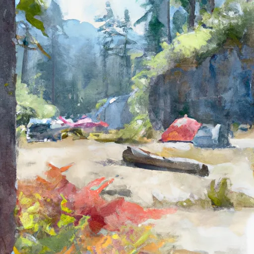
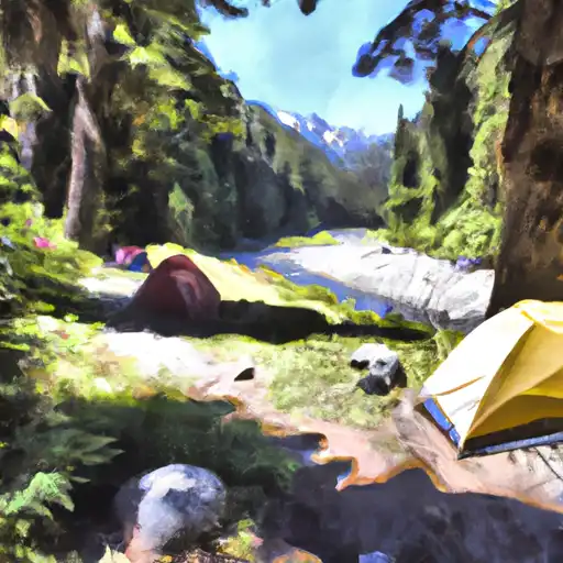
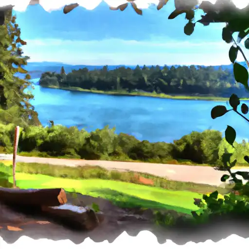
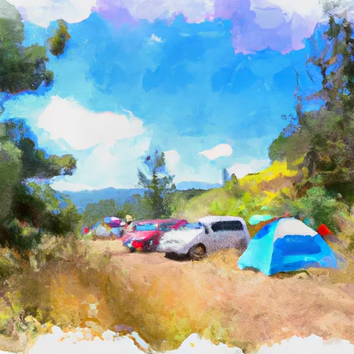
Area Campgrounds
| Location | Reservations | Toilets |
|---|---|---|
 Troublesome Creek Campground
|
||
 Troublesome Creek
|
||
 San Juan
|
||
 Sauk River Campground
|
||
 Hops Hill Campground
|
||
 Twin Bridge Campground
|
