Summary
With an elevation of [elevation] meters, it stands tall as one of the prominent peaks in the region. Nestor Peak offers breathtaking panoramic views of the surrounding landscape, making it a popular destination for mountaineers and adventure enthusiasts.
During the winter season, Nestor Peak boasts a substantial snowpack range, making it a prime location for winter sports such as skiing and snowboarding. Its slopes offer varying levels of difficulty, catering to both experienced and beginner athletes. The mountain's snowpack is influenced by the Pacific weather systems, resulting in a reliable and consistent snowfall throughout the winter months.
Nestor Peak is also notable for its contribution to the hydrology of the region. Several creeks and rivers receive runoff from the mountain, providing a vital water source for the surrounding ecosystems. These tributaries contribute to the overall health and biodiversity of the area, supporting various flora and fauna.
The origin of the name "Nestor Peak" is unclear, and there are no specific historical accounts or legends associated with it. However, the name likely honors an individual or group that played a significant role in the exploration or mapping of the region. Despite the lack of folklore, Nestor Peak remains a captivating destination for mountaineers, offering a thrilling and rewarding experience in the Pacific Ranges.
°F
°F
mph
Wind
%
Humidity
15-Day Weather Outlook
5-Day Hourly Forecast Detail
Regional Streamflow Levels
331
Cubic Feet Per Second
105
Cubic Feet Per Second
43
Cubic Feet Per Second
1,330
Cubic Feet Per Second
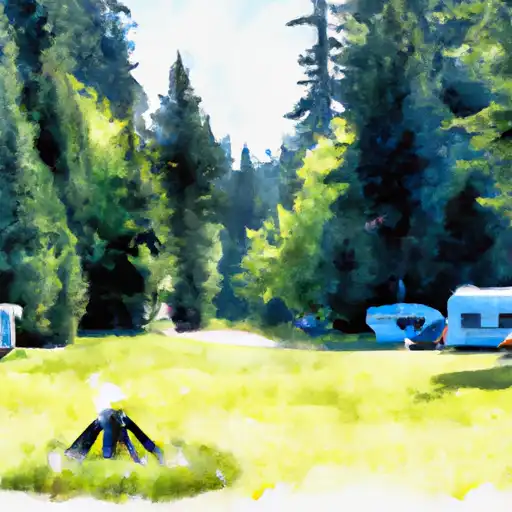
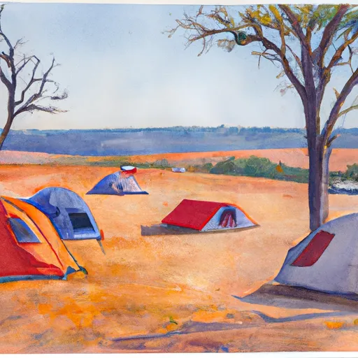
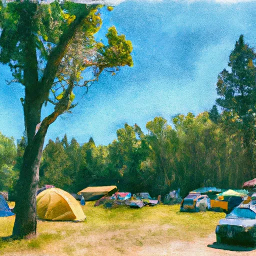
Area Campgrounds
| Location | Reservations | Toilets |
|---|---|---|
 Moss Creek
|
||
 Campground: Moss Creek
|
||
 Big Cedars Campground
|
||
 Oklahoma
|
||
 Campground: Oklahoma
|
||
 Oklahoma Campground
|
