2026-02-23T13:00:00-08:00
Snow levels will range between 3,000 to 4,000 ft. * WHAT...Snow expected. Total snow accumulations 8 to 12 inches. * WHERE...Cascades of Snohomish and Northern King Counties and Cascades of Whatcom and Skagit Counties. * WHEN...From 8 PM this evening to 1 PM PST Monday. * IMPACTS...Travel could be very difficult to impossible. The hazardous conditions could impact the Monday morning commute.
Summary
With an elevation of approximately 2,200 meters (7,200 feet), it offers breathtaking panoramic views of the surrounding area. This mountain is known for its challenging yet rewarding hiking trails, attracting outdoor enthusiasts and mountaineers from near and far.
During the winter season, Prairie Mountain experiences significant snowfall, with snowpack depths ranging from 1 to 2 meters (3 to 6 feet). This snowy landscape provides an opportunity for winter sports activities such as snowshoeing and backcountry skiing. As spring arrives, the snow begins to melt, feeding into several creeks and rivers that surround the mountain.
One such example is the Elbow River, which originates from the melting snowpack of Prairie Mountain. The Elbow River is an important water source for the region, supplying clean and fresh water to nearby communities. The mountain's runoff also contributes to the Bow River, which is a significant waterway within the province.
Regarding the history of its name, Prairie Mountain is believed to have been named due to its distinctive grassy slopes that resemble prairie lands. While no specific legends or lore are commonly associated with Prairie Mountain, its awe-inspiring beauty and challenging terrain have captured the imaginations of those who have ventured to its summit. As always, it is important to verify information from multiple reliable sources to ensure accuracy and up-to-date details.
°F
°F
mph
Wind
%
Humidity

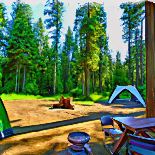 William C. Dearinger- State Forest
 Buck Creek
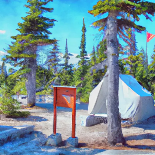 Suiattle Guard Station
 Squire Creek County Park
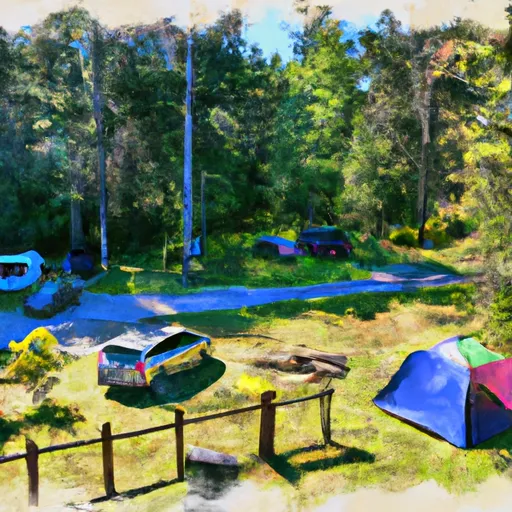 Squire Creek Park & Campground
 Peek-a-boo Lake Campsites