Summary
This peak offers breathtaking views of the surrounding landscape, making it a popular destination for mountaineers and outdoor enthusiasts. With its close proximity to the Angeles National Forest, Throop Peak provides ample opportunities for hiking, backpacking, and exploration.
During the winter season, Throop Peak and the surrounding mountains experience varying snowpack levels. The snowpack range can vary greatly depending on weather patterns, but typically, from December to March, the snowpack can reach depths of several feet, offering an ideal playground for winter sports such as skiing and snowshoeing.
The mountain's runoff feeds into several creeks and rivers in the region, providing a valuable water source for the local ecosystems. The nearby San Gabriel River benefits from Throop Peak's runoff, contributing to its flow and supporting diverse wildlife and vegetation along its course.
As for the history of the name, Throop Peak is named after Amos G. Throop, the founder of Caltech (California Institute of Technology). The peak's name was officially recognized by the U.S. Board on Geographic Names in 1926. Though there are no specific lore or legends associated with Throop Peak, its rich history and stunning vistas make it an intriguing destination for those seeking adventure and natural beauty in the Pacific Ranges.
°F
°F
mph
Wind
%
Humidity
15-Day Weather Outlook
5-Day Hourly Forecast Detail
Regional Streamflow Levels
0
Cubic Feet Per Second
159
Cubic Feet Per Second
101
Cubic Feet Per Second
81
Cubic Feet Per Second
Area Campgrounds
| Location | Reservations | Toilets |
|---|---|---|
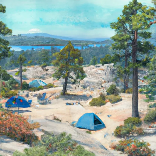 Little Jimmy
|
||
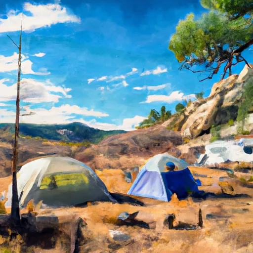 Little Jimmy Campground
|
||
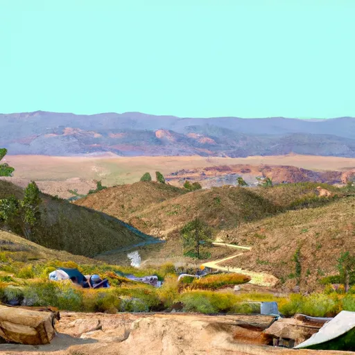 Deer Spring
|
||
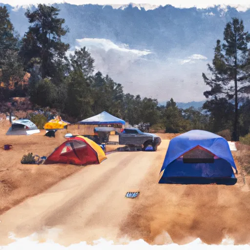 Deer Flat Group Campground
|
||
 Crystal Lake Rec Area Campground
|
||
 Crystal Lake Rec Area
|
