2026-02-23T13:00:00-08:00
Snow levels will range between 3,000 to 4,000 ft. * WHAT...Snow expected. Total snow accumulations 8 to 12 inches. * WHERE...Cascades of Snohomish and Northern King Counties and Cascades of Whatcom and Skagit Counties. * WHEN...From 8 PM this evening to 1 PM PST Monday. * IMPACTS...Travel could be very difficult to impossible. The hazardous conditions could impact the Monday morning commute.
Summary
Rising to an elevation of 7,434 feet (2,266 meters), Tomyhoi Peak offers breathtaking panoramic views of the surrounding North Cascades National Park in Washington state, USA.
During the winter season, Tomyhoi Peak receives a significant amount of snowfall, making it a popular destination for backcountry skiers and snowboarders. The snowpack on the mountain typically ranges from 10 to 15 feet, providing excellent conditions for winter sports enthusiasts. The proximity to the Pacific Ocean influences the snowpack consistency, resulting in a combination of light powder and heavier coastal snow.
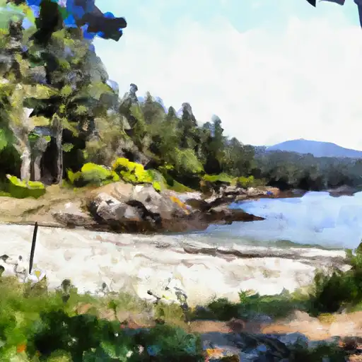
Tomyhoi Peak contributes to the water sources in the region through its runoff, which feeds several creeks and rivers. One notable creek is the Tomyhoi Creek, which originates from the glacier on the northern slopes of the mountain. Tomyhoi Creek eventually joins the larger Chilliwack River, providing a vital water source for the surrounding ecosystem.
In terms of history and lore, Tomyhoi Peak gets its name from the indigenous people of the area, the Nooksack Tribe. The name "Tomyhoi" has been interpreted to mean "mountain goat" or "wilderness," reflecting the rugged and untamed nature of the peak. The mountain also holds significance in local Native American legends, with stories of spirits and supernatural beings associated with its slopes.
Sources:
1. "Tomyhoi Peak" - SummitPost.org
2. "Tomyhoi Peak" - Washington Trails Association
°F
°F
mph
Wind
%
Humidity
15-Day Weather Outlook
5-Day Hourly Forecast Detail
Regional Streamflow Levels
474
Cubic Feet Per Second
9
Cubic Feet Per Second
0
Cubic Feet Per Second
14
Cubic Feet Per Second
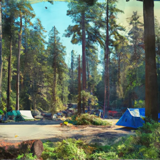
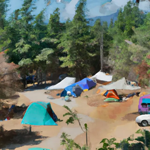
Area Campgrounds
| Location | Reservations | Toilets |
|---|---|---|
 Silver Fir
|
||
 Silver Fir Campground
|
||
 Excelsior Group Campground
|
||
 Excelsior
|
||
 Allison Pool
|
||
 Chipmunk Peninsula
|
