2026-02-23T13:00:00-08:00
Snow levels will range between 3,000 to 4,000 ft. * WHAT...Snow expected. Total snow accumulations 8 to 12 inches. * WHERE...Cascades of Pierce and Lewis Counties and Cascades of Southern King County. * WHEN...From 8 PM this evening to 1 PM PST Monday. * IMPACTS...Travel could be very difficult to impossible. The hazardous conditions could impact the Monday morning commute.
Summary
It is situated in the eastern part of Mount Rainier National Park, offering breathtaking views of the surrounding landscape. Unicorn Peak is known for its rugged terrain and challenging climbing routes, attracting experienced mountaineers seeking a thrilling adventure.
During the winter season, Unicorn Peak experiences heavy snowfall due to its high elevation. The snowpack range can vary depending on the year, but typically accumulates several feet of snow, making it a popular destination for winter mountaineering and backcountry skiing. The mountain's snow-covered slopes provide a pristine and picturesque landscape for outdoor enthusiasts.
Runoff from Unicorn Peak feeds into nearby creeks and rivers, including the White River and its tributaries. These waterways benefit from the mountain's melting snow during the spring and summer, contributing to the region's freshwater resources and supporting diverse ecosystems.
The name "Unicorn Peak" originates from the unique shape of its summit, which resembles the horn of a mythical unicorn. This distinctive feature has sparked fascination and speculation among hikers and mountaineers throughout history. While there may not be any specific legends or lore associated with Unicorn Peak, its name continues to capture the imagination of those who venture into the Pacific Ranges.
°F
°F
mph
Wind
%
Humidity
15-Day Weather Outlook
5-Day Hourly Forecast Detail
Regional Streamflow Levels
677
Cubic Feet Per Second
55
Cubic Feet Per Second
239
Cubic Feet Per Second
1,100
Cubic Feet Per Second
Area Campgrounds
| Location | Reservations | Toilets |
|---|---|---|
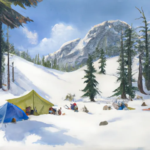 Snow Lake Camp
|
||
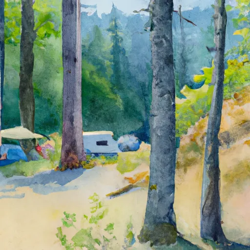 Maple Creek Camp
|
||
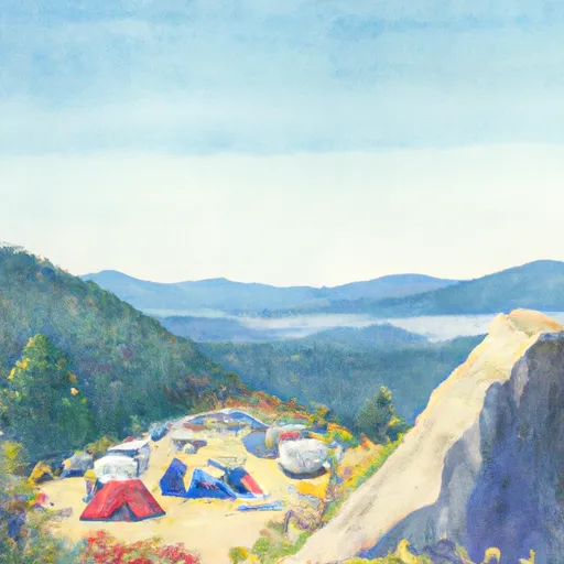 Cougar Rock
|
||
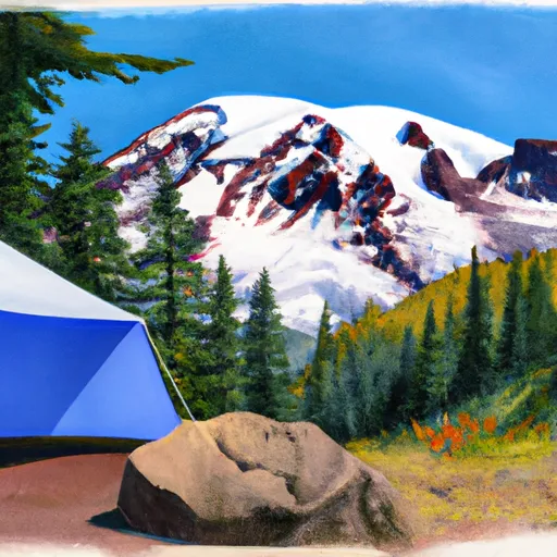 Cougar Rock - Mount Rainier National Park
|
||
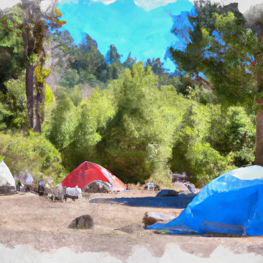 Butter Creek Site
|
||
 Olallie Creek Camp
|
