Summary
Standing at an elevation of approximately 9,423 feet, it offers stunning panoramic views of the surrounding landscape. Blodgett Peak is part of the Pike National Forest and is a popular destination for mountaineers, hikers, and nature enthusiasts.
During the winter season, Blodgett Peak receives a significant amount of snowfall, contributing to its picturesque appearance. The snowpack range in this area varies depending on weather conditions and can range from a few inches to several feet. The mountain's snow-covered terrain attracts winter sports enthusiasts who enjoy activities like snowshoeing and cross-country skiing.
Blodgett Peak also serves as a source of runoff for nearby creeks and rivers, including Camp Creek and its tributaries. These waterways benefit from the mountain's melting snow, providing a vital water source for plant and animal life in the region.
Regarding the history and folklore surrounding Blodgett Peak, the origin of its name remains unclear. Some sources suggest it was named after an early settler or pioneer in the area, while others propose that it was named after an individual with the last name "Blodgett." There are no specific legends or lore associated with the peak, but its scenic beauty and recreational opportunities continue to captivate those who venture to its summit.
°F
°F
mph
Wind
%
Humidity
15-Day Weather Outlook
5-Day Hourly Forecast Detail
Regional Streamflow Levels
3
Cubic Feet Per Second
-999,999
Cubic Feet Per Second
35
Cubic Feet Per Second
2
Cubic Feet Per Second
Area Campgrounds
| Location | Reservations | Toilets |
|---|---|---|
 Peregrine Pines Military - USAF Academy
|
||
 Peregrine Pines Family Camp
|
||
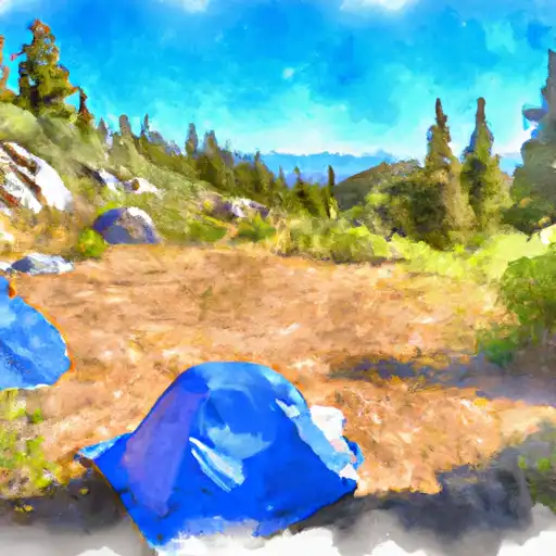 Thunder Ridge
|
||
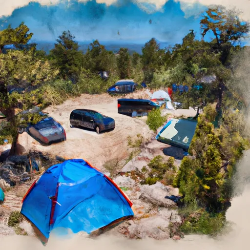 Thunder Ridge Campground
|
||
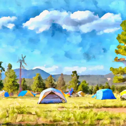 Meadow Ridge
|
||
 24
24
|

 Homestake Fishing Site
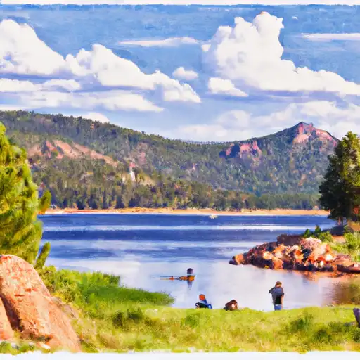 Rampart Reservoir
 Deadmans Creek
 Pikeview Reservoir
 Crystal Creek Reservoir