2026-02-24T17:00:00-07:00
* WHAT...West winds 35 to 50 mph with gusts up to 80 mph possible. * WHERE...The Northern Front Range Foothills, the Mosquito Range, and the Front Range Mountains including, Rocky Mountain National Park and the Indian Peaks. * WHEN...From Tuesday morning through late Tuesday afternoon. * IMPACTS...Gusty winds will blow around unsecured objects and a few power outages may result. Travel could be difficult, especially for high profile vehicles.
Summary
Rising to an impressive height of 14,278 feet, it is the highest peak in the Front Range and the tenth highest in the entire state. Grays Peak is often paired with its nearby sister mountain, Torreys Peak, as they share a connecting ridge and are commonly climbed together.
During the winter season, Grays Peak experiences significant snowfall, transforming its rugged slopes into a winter wonderland. The snowpack range can vary greatly depending on the year, but typically it accumulates several feet deep. This makes the mountain a popular destination for winter sports enthusiasts, including backcountry skiing and snowshoeing.
Grays Peak contributes to the water supply of the region through its creeks and rivers that receive runoff from its melting snowpack. For instance, the Clear Creek, located on the eastern side of the mountain, benefits from this runoff, supporting the ecosystem and providing water resources downstream.
The name "Grays Peak" has an interesting history. It was named after Asa Gray, a renowned American botanist from the 19th century who made significant contributions to the field of plant taxonomy. The mountain's name pays tribute to his influential work in botany.
While there are no specific legends or lore associated with Grays Peak, its towering presence and natural beauty have undoubtedly captured the imagination of mountaineers and outdoor enthusiasts for generations. As with any outdoor adventure, it is essential to consult multiple independent sources to gather accurate and up-to-date information before embarking on a mountaineering expedition.
°F
°F
mph
Wind
%
Humidity
15-Day Weather Outlook
5-Day Hourly Forecast Detail
Regional Streamflow Levels
21
Cubic Feet Per Second
3
Cubic Feet Per Second
-999
Cubic Feet Per Second
2
Cubic Feet Per Second
Area Campgrounds
| Location | Reservations | Toilets |
|---|---|---|
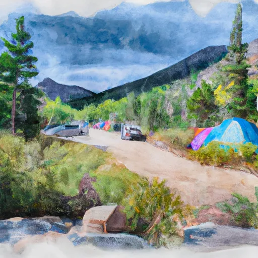 Guanella Pass Campground
|
||
 Guanella Pass
|
||
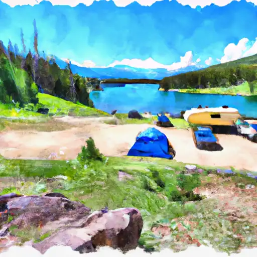 Clear Lake
|
||
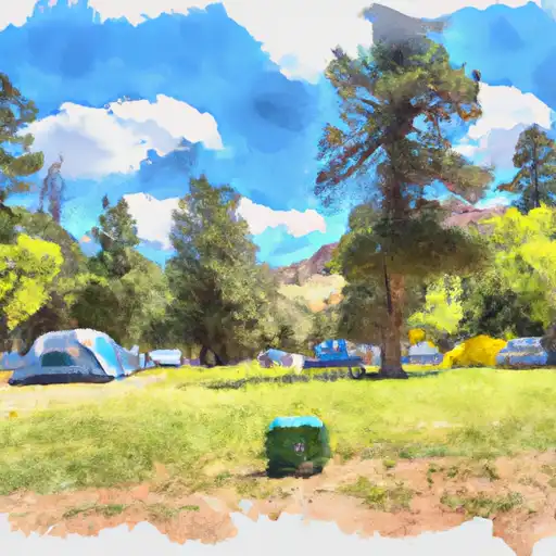 Geneva Park
|
||
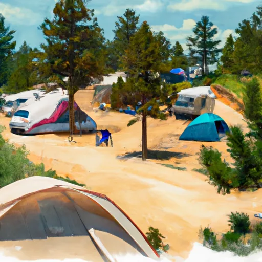 Geneva Park Campground
|
||
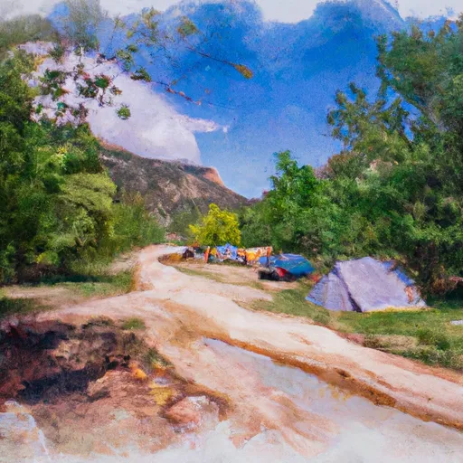 West Chicago Creek Campground
|

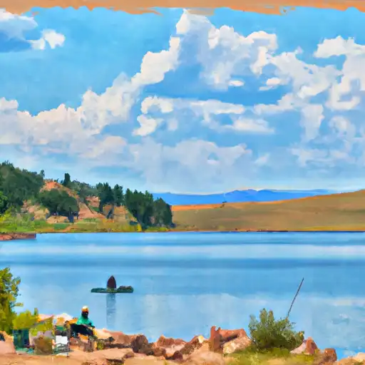 Murray Lake
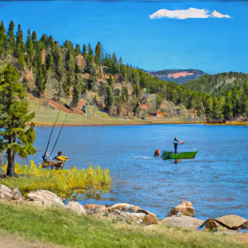 Silver Dollar Lake
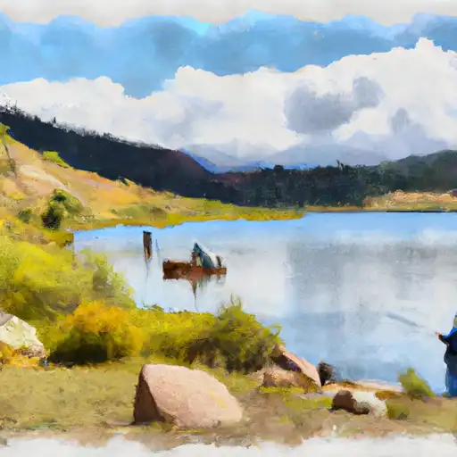 Square Top Lakes
 Urad Reservoir - Upper
 Hassell Lake