2026-02-24T17:00:00-07:00
* WHAT...West winds 35 to 50 mph with gusts up to 80 mph possible. * WHERE...The Northern Front Range Foothills, the Mosquito Range, and the Front Range Mountains including, Rocky Mountain National Park and the Indian Peaks. * WHEN...From Tuesday morning through late Tuesday afternoon. * IMPACTS...Gusty winds will blow around unsecured objects and a few power outages may result. Travel could be difficult, especially for high profile vehicles.
Summary
Standing tall at an elevation of 14,259 feet (4346 meters), it is the highest peak in the Rocky Mountain National Park. Its majestic size and striking profile have made it a popular destination for mountaineers and hikers alike.
Longs Peak is known for its extreme weather conditions, especially during the winter season. The snowpack on the mountain can vary significantly, with depths ranging from a few inches to several feet. It is essential for climbers to be well-prepared for changing weather and avalanche risks. The snowpack, however, offers excellent opportunities for winter sports enthusiasts, such as snowshoeing and skiing.
The mountain is a significant source of runoff for multiple creeks and rivers in the area. Roaring Fork, Saint Vrain Creek, and Glacier Creek are some of the water bodies that receive runoff from Longs Peak. These streams provide essential water resources for wildlife and communities downstream. Moreover, the clear, cold waters of these creeks and rivers attract anglers and nature enthusiasts.
The name "Longs Peak" is derived from Major Stephen H. Long, an explorer who led an expedition to the area in the early 1800s. The mountain is steeped in history and folklore, including tales of Native American tribes who believed the peak to be sacred and imbued with spiritual powers. Additionally, Longs Peak holds a special place in mountaineering history, being home to the famous Keyhole Route, a challenging and popular climbing route that attracts adventurers from around the world.
In summary, Longs Peak is a majestic mountain in the Rocky Mountains, offering breathtaking views and exciting challenges to mountaineers. With its towering elevation, varied snowpack, and the role it plays in local water systems, it is a significant natural landmark. Its rich history and legends only add to the allure of this spectacular peak.
°F
°F
mph
Wind
%
Humidity
15-Day Weather Outlook
5-Day Hourly Forecast Detail
Regional Streamflow Levels
48
Cubic Feet Per Second
174
Cubic Feet Per Second
3
Cubic Feet Per Second
1,950
Cubic Feet Per Second
Area Campgrounds
| Location | Reservations | Toilets |
|---|---|---|
 Boulderfield
|
||
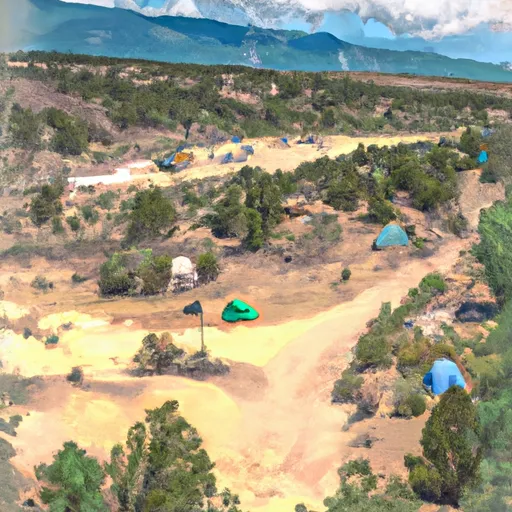 Battle Mountain Group Site
|
||
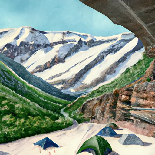 Glacier Gorge
|
||
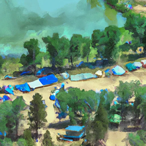 Sandbeach Lake Group Campsite
|
||
 Sandbeach Lake campsite 1
|
||
 Sandbeach Lake campsite 2
|

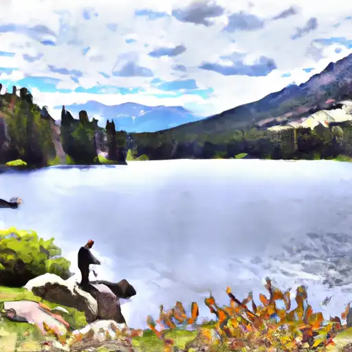 Black Lake - RMNP
 Jewel Lake - RMNP
 Sandbeach Lake - RMNP
 Mills Lake - RMNP
 Thunder Lake - RMNP