Summary
It is named after a famous Ute Indian chief known as Chief Ouray. Offering breathtaking views of the surrounding landscape, Mount Ouray is a popular destination for mountaineering enthusiasts.
Covering an area of approximately 80 square miles, Mount Ouray boasts a challenging terrain that attracts experienced climbers. During the winter season, the mountain experiences a varied snowpack range, with depths ranging from 10 to 20 feet. This makes it an appealing destination for winter sports enthusiasts, such as backcountry skiers and snowboarders.
The mountain's snowpack contributes to the runoff of several creeks and rivers in the area. One notable example is the Cochetopa Creek, which receives water from the melting snow on Mount Ouray. This creek is renowned for its excellent fishing opportunities and is home to various species of trout.
Mount Ouray holds historical significance, as it is named after Chief Ouray, who was a prominent leader of the Ute Indian tribe. Chief Ouray played a significant role in negotiations between the Ute people and the United States government, advocating for peace and fair treatment of his people. The mountain's name serves as a tribute to his legacy.
With its impressive elevation, diverse snowpack range, and the involvement of Chief Ouray in its naming, Mount Ouray in the Rocky Mountains stands as a captivating destination for mountaineers and nature enthusiasts alike.
°F
°F
mph
Wind
%
Humidity
15-Day Weather Outlook
5-Day Hourly Forecast Detail
Regional Streamflow Levels
6
Cubic Feet Per Second
-999
Cubic Feet Per Second
0
Cubic Feet Per Second
3
Cubic Feet Per Second
Area Campgrounds
| Location | Reservations | Toilets |
|---|---|---|
 O'Haver Lake Campground
|
||
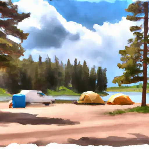 Ohaver Lake
|
||
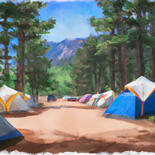 Monarch Park Campground
|
||
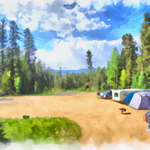 Monarch Park
|
||
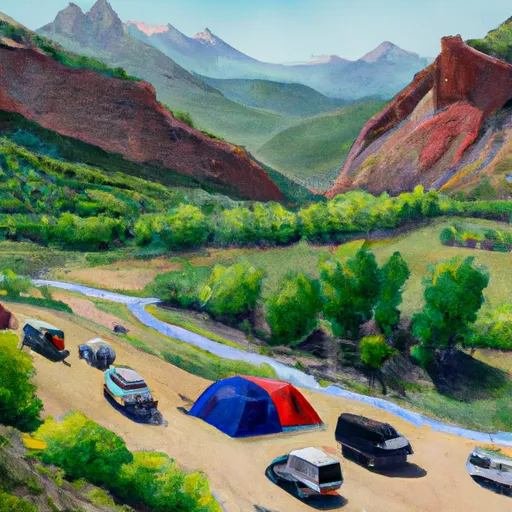 Garfield
|
||
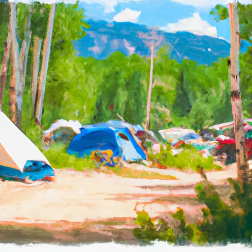 Alder Creek Campsites
|
