2026-02-24T05:00:00-07:00
...WINTRY MIX IN VALLEYS AND MOUNTAIN SNOW MONDAY THROUGH MONDAY NIGHT... .Snow levels will be borderline in northwest Montana valleys, and a wintry mix brings an increased risk for slick conditions during the Monday morning commute. Confidence is highest for accumulating snow across Lincoln County valley areas. Over mountain passes, snow will begin overnight with minor impacts, intensifying by Monday afternoon. Expect moderate travel impacts with slushy accumulation on I-90 and US-2 through Monday night. * WHAT...Snow expected. There is a likelihood of minor to moderate winter weather impacts. Total snow accumulations of 1 to 4 inches in the valleys and 6 to 9 inches from Essex to Marias Pass. Higher amounts are expected in the higher terrain. Winds gusting as high as 35 mph. * WHERE...Highway 83 Bigfork to Swan Lake, Essex, Glacier National Park, Marias Pass, Polebridge, and Bad Rock Canyon. * WHEN...From 5 AM Monday to 5 AM MST Tuesday. * IMPACTS...For MODERATE winter weather impacts, expect disruptions to normal activities. Hazardous traveling conditions. Use extra caution while driving. Closures and disruptions to infrastructure may occur.
Summary
Standing at an impressive elevation, it reaches heights of approximately 10,019 feet. This mountain is known for its grandeur and majestic presence in the surrounding landscape.
During the winter season, Mount Saint Nicholas experiences a diverse snowpack range. The amount of snowfall can vary depending on the particular year and weather conditions. However, it generally receives a significant amount of snow, making it an attractive destination for winter sports enthusiasts and mountaineers alike.
Several creeks and rivers get their runoff from Mount Saint Nicholas, contributing to the overall water system in the region. These water sources provide essential sustenance for the surrounding flora and fauna, enhancing the natural beauty of the area.
The name "Mount Saint Nicholas" carries historical significance. It is believed to be named after Saint Nicholas, the patron saint of sailors, merchants, and children. The exact origins of the name may have different interpretations, but it adds an intriguing layer of history and religious symbolism to the mountain. Additionally, this mountain holds fascinating lore and legends that have been passed down through generations, enriching the cultural fabric of the region.
Sources:
- National Geographic Maps
- Rocky Mountain National Park website
- US Geological Survey
°F
°F
mph
Wind
%
Humidity
15-Day Weather Outlook
5-Day Hourly Forecast Detail
Regional Streamflow Levels
118
Cubic Feet Per Second
9
Cubic Feet Per Second
1,440
Cubic Feet Per Second
3,560
Cubic Feet Per Second
Area Campgrounds
| Location | Reservations | Toilets |
|---|---|---|
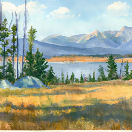 Lake Isabel
|
||
 Upper Park Creek
|
||
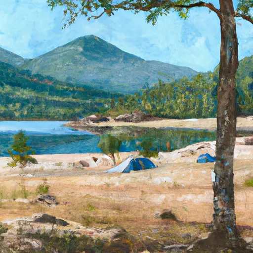 Beaver Woman Lake
|
||
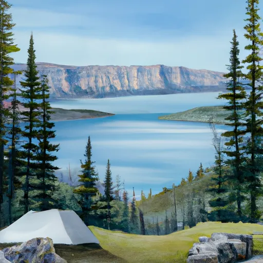 Cobalt Lake
|
||
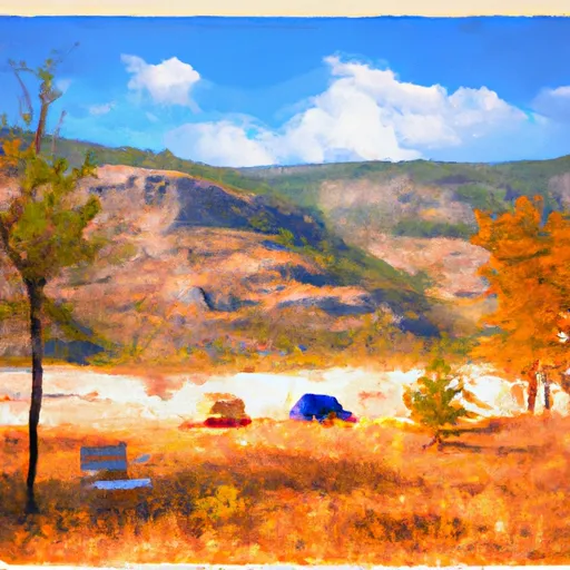 Ole Creek
|
||
 Upper Two Medicine Lake
|
