2026-02-24T17:00:00-07:00
* WHAT...West winds 35 to 50 mph with gusts up to 80 mph possible. * WHERE...The Northern Front Range Foothills, the Mosquito Range, and the Front Range Mountains including, Rocky Mountain National Park and the Indian Peaks. * WHEN...From Tuesday morning through late Tuesday afternoon. * IMPACTS...Gusty winds will blow around unsecured objects and a few power outages may result. Travel could be difficult, especially for high profile vehicles.
Summary
Rising to an impressive elevation of 14,036 feet (4,278 meters), it stands as one of the many majestic peaks in the state. With a relatively straightforward ascent, it is a popular destination for mountaineers and hikers seeking to conquer a 14er.
During the winter season, Mount Sherman experiences a significant snowpack. Snow depths can vary greatly depending on the year, but on average, the snowpack ranges from several feet to over ten feet. This makes it an ideal destination for winter sports enthusiasts, such as snowshoers and backcountry skiers.
Mount Sherman is surrounded by several creeks and rivers that receive runoff from the mountain. Iowa Gulch and Fourmile Creek are two notable water bodies that benefit from the melting snow and ice. These water sources contribute to the overall ecosystem and provide nourishment for various plant and animal species in the area.
The name "Mount Sherman" was given to honor General William Tecumseh Sherman, who was a prominent figure during the American Civil War. However, interestingly, there is a legend associated with the mountain. According to local lore, a prospector named Edward Sherman discovered a rich silver vein on the mountain, but his claim was disputed, leading to his mysterious disappearance. Though unverified, this tale adds an intriguing element to the mountain's history.
Sources:
- Colorado Mountain Club: mountaineering.com
- 14ers.com
- US Geological Survey: usgs.gov
°F
°F
mph
Wind
%
Humidity
15-Day Weather Outlook
5-Day Hourly Forecast Detail
Regional Streamflow Levels
73
Cubic Feet Per Second
7
Cubic Feet Per Second
3
Cubic Feet Per Second
21
Cubic Feet Per Second
Area Campgrounds
| Location | Reservations | Toilets |
|---|---|---|
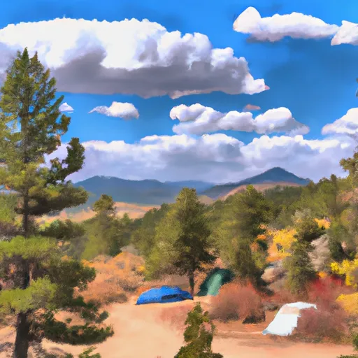 Fourmile
|
||
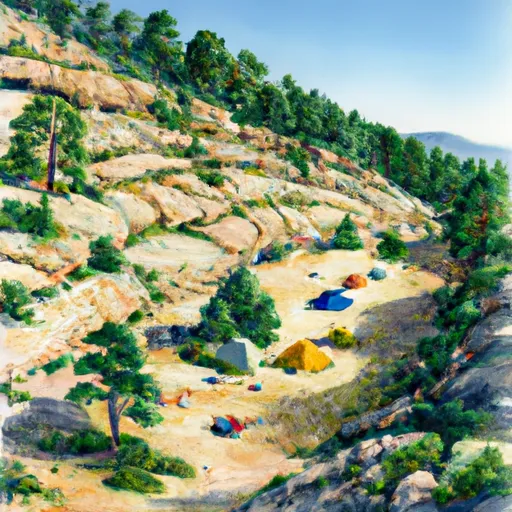 Horseshoe
|
||
 Kite Lake Campground
|
||
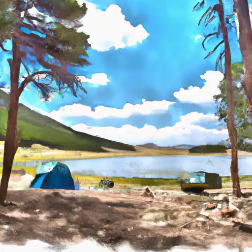 Kite Lake
|
||
 Printerboy Group Campground
|
||
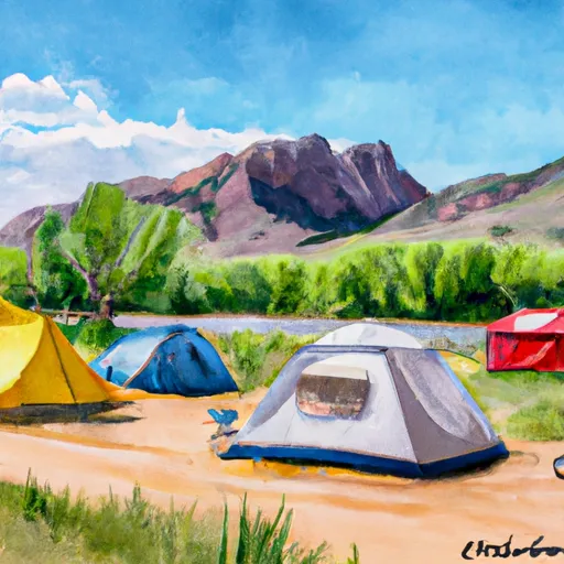 Belle of Colorado
|

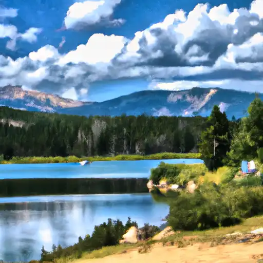 Crystal Lakes
 Hayden Meadows Reservoir
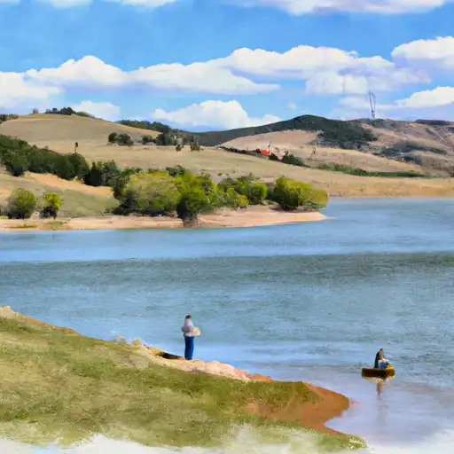 Montgomery Reservoir
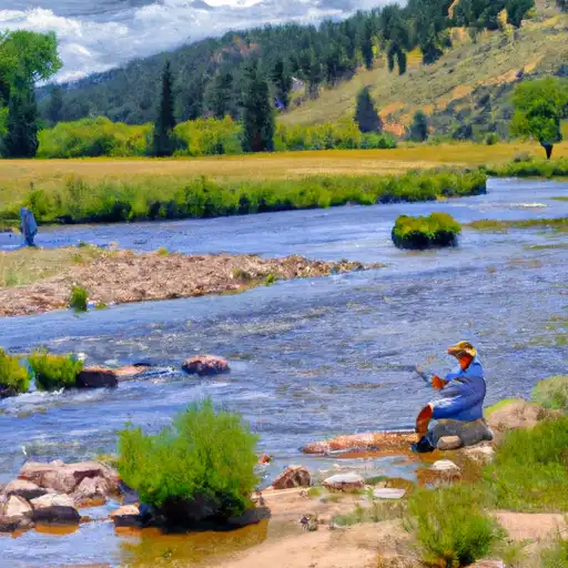 Rich Creek
 Abe Lee Fishing Site