Summary
It stands tall at an impressive elevation and offers breathtaking views of the surrounding landscape. With its towering height and rugged terrain, Airola Peak is a challenging destination for mountaineers and outdoor enthusiasts alike.
One notable feature of Airola Peak is its substantial size. The mountain spans a significant portion of the range, making it an imposing presence in the region. Its snow-covered slopes are particularly awe-inspiring, especially during the winter season when the mountain transforms into a winter wonderland. The snowpack range during this time can vary, influenced by factors such as annual snowfall, prevailing weather conditions, and altitude.
Airola Peak also contributes to the hydrological network of the area. The mountain's melting snow and glaciers give rise to several creeks and rivers that benefit from the runoff. These water bodies play a crucial role in supporting the ecosystem and providing freshwater for surrounding flora and fauna.
Regarding the history and lore surrounding Airola Peak, it is essential to consult multiple independent sources to ensure accuracy. While specific details may vary, exploring the mountain's name origins and any intriguing legends associated with it can add a captivating aspect to the summary.
°F
°F
mph
Wind
%
Humidity
15-Day Weather Outlook
5-Day Hourly Forecast Detail
Regional Streamflow Levels
1
Cubic Feet Per Second
178
Cubic Feet Per Second
51
Cubic Feet Per Second
139
Cubic Feet Per Second
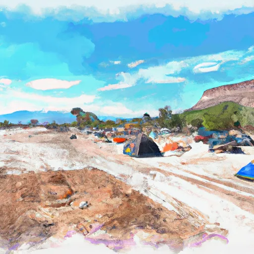
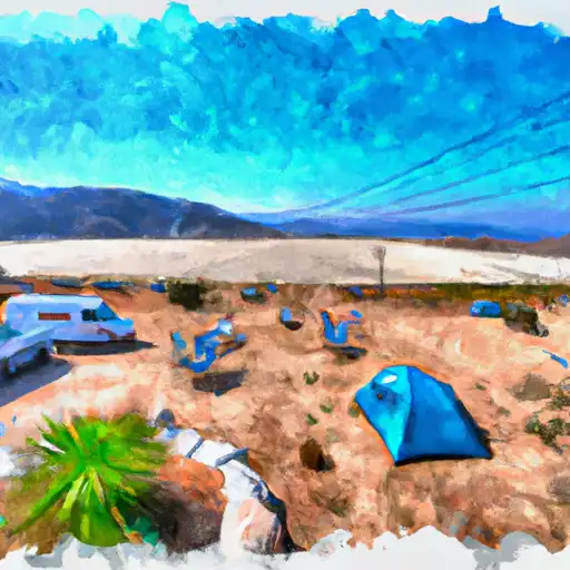
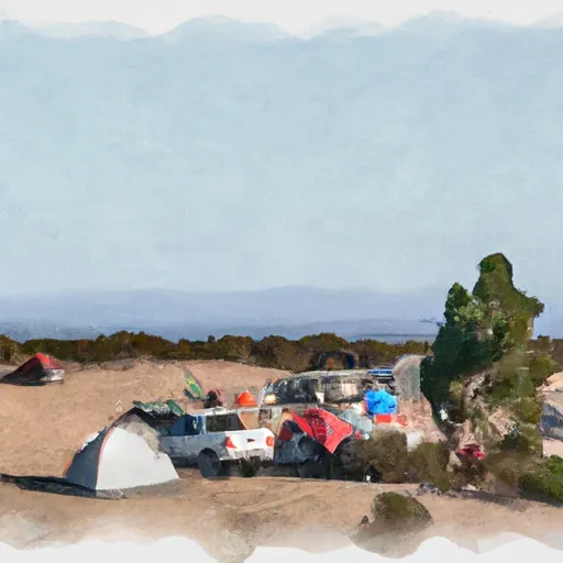
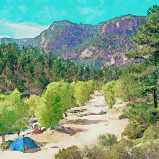
Area Campgrounds
| Location | Reservations | Toilets |
|---|---|---|
 Highland Lakes
|
||
 Highland Lakes Campground
|
||
 Sand Flat Campground
|
||
 Sand Flat
|
||
 Sand Flat Campground (4wd only)
|
||
 Clark Fork
|
