Summary
Standing at a staggering height of 3,000 feet (900 meters) from base to summit, it is one of the most challenging and sought-after rock climbing destinations in the world. The mountain's name, "El Capitan," translates to "The Captain" in Spanish, reflecting its imposing presence.
During the winter season, El Capitan experiences varying snowpack levels due to its elevation and exposure. Snowfall can range from a few inches to several feet, creating ideal conditions for winter mountaineering and ice climbing. The Pacific Ranges, of which El Capitan is a part, receive ample precipitation, ensuring a reliable snowpack each year.
Several creeks and rivers in the vicinity of El Capitan benefit from the mountain's runoff. Bridalveil Creek, which originates from the southern slopes of El Capitan, cascades down the mountain's face, contributing to the flow of the Merced River. This river, in turn, plays a crucial role in maintaining the diverse ecosystem of Yosemite National Park.
As for history and legends surrounding El Capitan, Indigenous tribes like the Ahwahneechee and Miwok have long held spiritual connections to the mountain. Stories of mythical creatures and legendary feats of strength associated with El Capitan have been passed down through generations. Additionally, European explorers and settlers gave the mountain its current name during their exploration of the region in the 19th century.
In summary, El Capitan is an awe-inspiring granite monolith with a height of 3,000 feet, situated in the Pacific Ranges mountain range of California. It offers challenging rock climbing opportunities and experiences varying snowpack levels during the winter season. The mountain contributes to the flow of creeks and rivers such as Bridalveil Creek and the Merced River. Its name, El Capitan, reflects its imposing presence, and it holds cultural significance for Indigenous tribes while also carrying the history of European exploration.
°F
°F
mph
Wind
%
Humidity

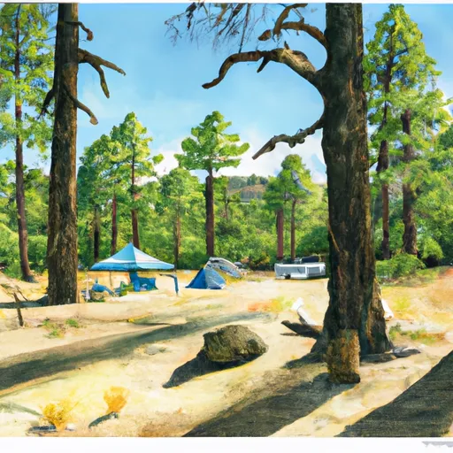 Yellow Pines Campground
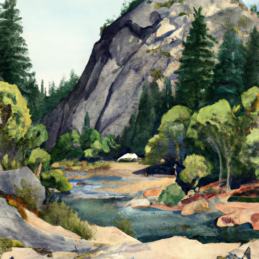 Lower River - Yosemite National Park
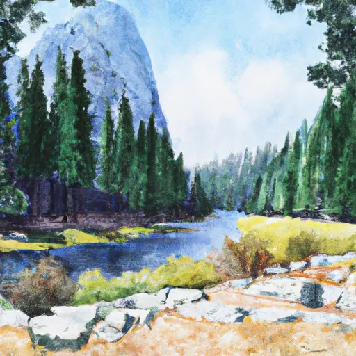 Upper River - Yosemite National Park
 Lower Pines - Yosemite National Park
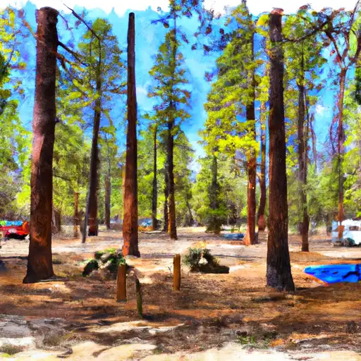 North Pines - Yosemite National Park
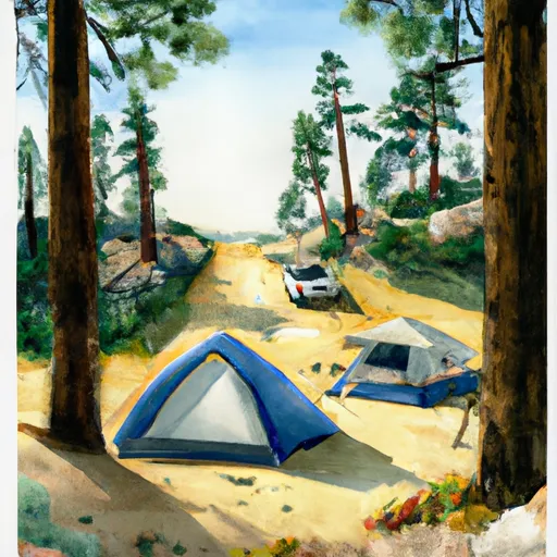 Lower Pines