Summary
It is one of the tallest mountains in the region, with an elevation of approximately 2,440 meters (8,005 feet). This majestic mountain offers breathtaking views of the surrounding landscape and is a popular destination for mountaineers and outdoor enthusiasts.
During the winter season, Mount Muir experiences a significant snowpack, making it an ideal location for winter sports such as skiing and snowboarding. The snowpack range can vary depending on yearly conditions, but it typically accumulates several meters of snow, providing ample opportunities for winter recreational activities.
Several creeks and rivers receive runoff from Mount Muir, contributing to the region's freshwater resources. These water sources include the nearby Cataract Creek and Kaugie Creek, which are fed by the melting snow and glaciers of the mountain.
The name "Mount Muir" pays tribute to John Muir, an influential naturalist and preservationist who played a crucial role in the establishment of national parks in the United States, particularly Yosemite National Park. However, it is important to note that the name may have different origins or meanings depending on the cultural or indigenous history of the area. Exploring the lore and legends associated with Mount Muir can provide further insights into its significance and cultural heritage.
°F
°F
mph
Wind
%
Humidity
15-Day Weather Outlook
5-Day Hourly Forecast Detail
Regional Streamflow Levels
34
Cubic Feet Per Second
7
Cubic Feet Per Second
138
Cubic Feet Per Second
20
Cubic Feet Per Second
Area Campgrounds
| Location | Reservations | Toilets |
|---|---|---|
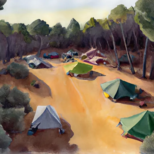 Dazzle campsite (5-7 tents)
|
||
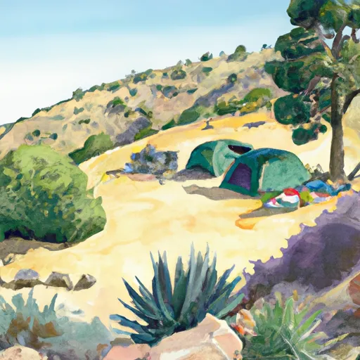 Zigzag campsite (1 tent)
|
||
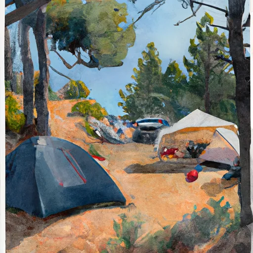 Trail Camp
|
||
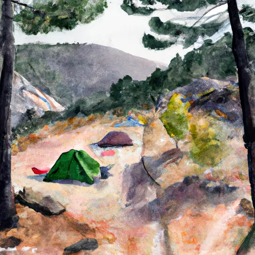 Outpost Camp
|
||
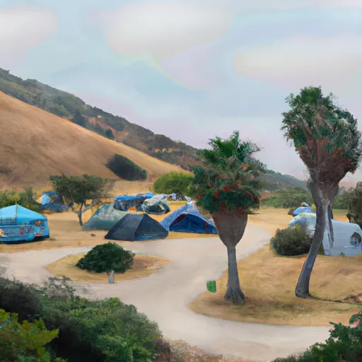 campsite m
|
||
 Mt. Whitney Trailhead Campground
|

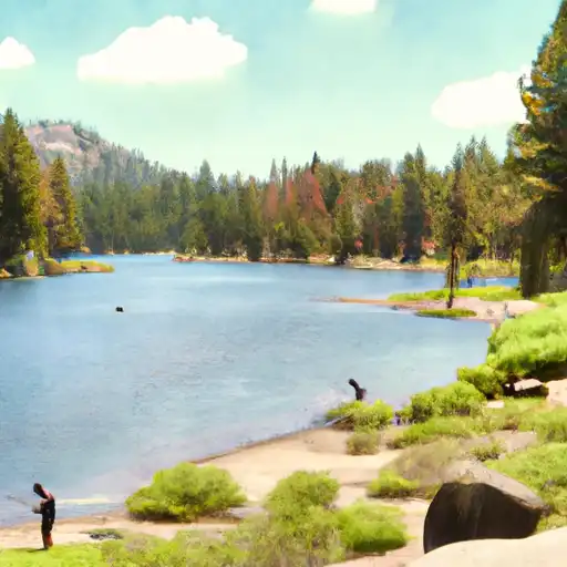 Upper Boy Scout Lake
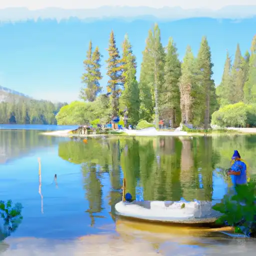 Mirror Lake
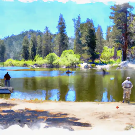 Lower Boy Scout Lake
 Meysan Lake
 Lone Pine Lake