Summary
Standing at an elevation of 14,505 feet, it offers a challenging and exhilarating experience for mountaineers. The mountain spans an impressive size of 20 square miles and is known for its rugged terrain and breathtaking panoramic views.
During the winter season, Mount Whitney receives heavy snowfall, creating a picturesque winter wonderland. The snowpack range varies from year to year, with an average snow depth of around 10-15 feet. This creates ideal conditions for winter sports enthusiasts who enjoy activities such as skiing and snowshoeing.
Several creeks and rivers are fed by the runoff from Mount Whitney. The most significant of these is the Kern River, which flows northward from the mountain, providing a vital water source for the surrounding region. Other notable waterways include Lone Pine Creek and Whitney Creek, which also benefit from the mountain's runoff.
Named after Josiah Whitney, the State Geologist of California, Mount Whitney has a rich history and is steeped in interesting lore and legends. Native American tribes considered the mountain sacred and believed it was the home of powerful spirits. Today, it attracts adventurers from around the world who seek to conquer its majestic peak and experience the beauty and grandeur that Mount Whitney has to offer.
Hourly Weather Forecast
Regional Streamflow Levels
124
Cubic Feet Per Second
10
Cubic Feet Per Second
20
Cubic Feet Per Second
13
Cubic Feet Per Second
Area Campgrounds
| Location | Reservations | Toilets |
|---|---|---|
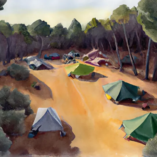 Dazzle campsite (5-7 tents)
|
||
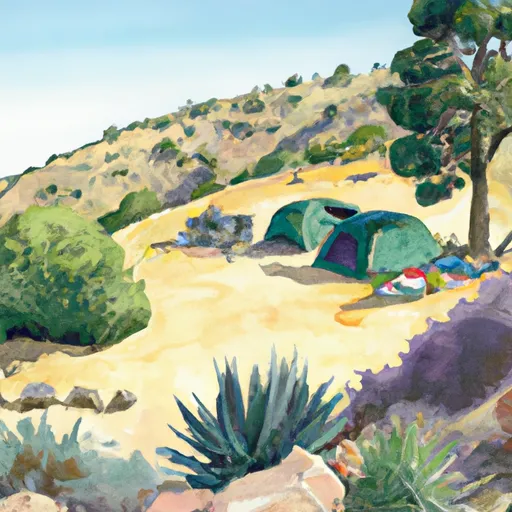 Zigzag campsite (1 tent)
|
||
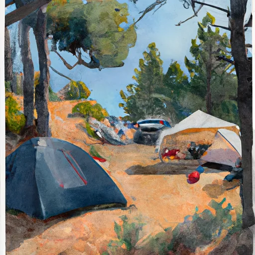 Trail Camp
|
||
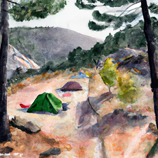 Outpost Camp
|
||
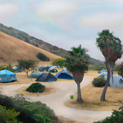 campsite m
|
||
 Mt. Whitney Trailhead Campground
|

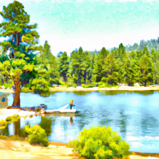 Consultation Lake
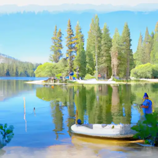 Mirror Lake
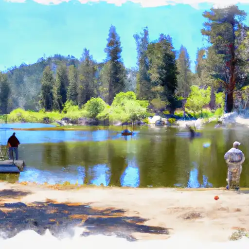 Lower Boy Scout Lake
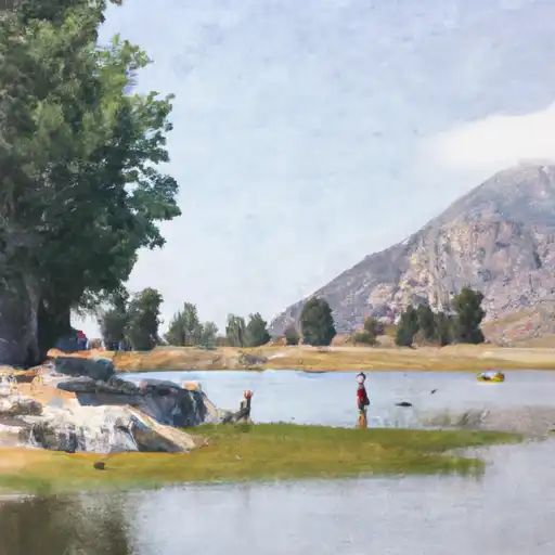 Lone Pine Lake
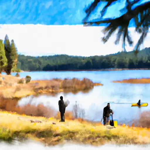 Meysan Lake