Summary
The ideal streamflow range for this section is between 200 and 800 cubic feet per second (cfs), with flows of 600 cfs providing the most optimal conditions for a thrilling ride. The segment is rated as Class II-III, with a total mileage of 14.3 miles.
The river features several notable rapids and obstacles, including Three Falls, a series of three drops that can be challenging at higher flows, and Balancing Rock Rapid, which boasts large boulders and a narrow channel. Participants are also advised to be cautious of strainers (trees or other debris that can snag a raft) and swift currents.
In terms of regulations, all visitors must obtain a permit to use the river. The permits are limited, and it is recommended to make reservations well in advance. Additionally, the use of motorized watercraft is prohibited, and visitors are advised to follow Leave No Trace principles to preserve the natural beauty of the area.
°F
°F
mph
Wind
%
Humidity
15-Day Weather Outlook
River Run Details
| Last Updated | 2026-02-07 |
| River Levels | 17200 cfs (10.71 ft) |
| Percent of Normal | 92% |
| Status | |
| Class Level | ii-iii |
| Elevation | ft |
| Run Length | 67.0 Mi |
| Streamflow Discharge | cfs |
| Gauge Height | ft |
| Reporting Streamgage | USGS 09402500 |
5-Day Hourly Forecast Detail
Nearby Streamflow Levels
Area Campgrounds
| Location | Reservations | Toilets |
|---|---|---|
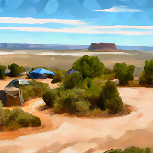 Horseshoe Mesa Camp
|
||
 Desert View Campground
|
||
 Desert View - Grand Canyon National Park
|
||
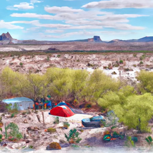 Hull Cabin
|
||
 Cape Final
|
||
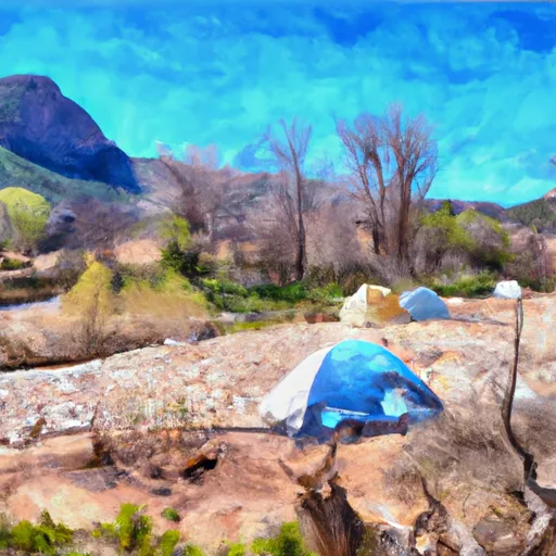 Clear Creek Camp
|


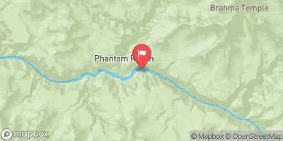
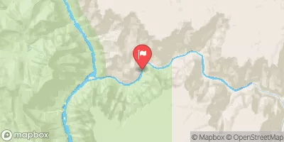
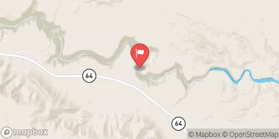
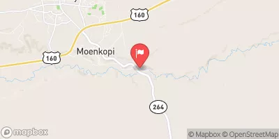
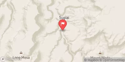
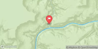
 Red Canyon To Confluence With Kanab Creek
 Begins 2.3 Miles Upstream From Confluence With Colorado River To Confluence With The Colorado River
 Begins 1 Mile Below The Redwall In Both Of The Main Arms To Confluence With The Colorado River
 The Redwall To Confluence With The Colorado River