Summary
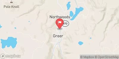
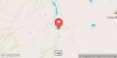
This section of the river spans from 0.1 miles above the Fish Barrier to the confluence with Black River and covers a total distance of 12 miles. The ideal streamflow range for this section of the river is between 500-2000 cfs. The class rating of the Whitewater River Run is Class III-IV, which means that it is suitable for intermediate to advanced paddlers with some experience in white water rafting.
Some of the specific river rapids and obstacles on this section of the river include the Pumphouse, the Wall, and the S-Turn. These rapids are known for their technical difficulty and require skilled maneuvering to navigate safely. The river also features numerous eddies and waves that create additional challenges for rafters.
There are specific regulations that apply to the Whitewater River Run. For example, all rafters are required to wear a personal flotation device (PFD) at all times while on the river. Additionally, rafts must be equipped with a throw bag and a whistle, and all participants must be familiar with basic water safety and rescue techniques.
Overall, the Whitewater River Run is a challenging and exciting whitewater rafting experience that offers paddlers the opportunity to test their skills and enjoy the rugged beauty of Arizona's wilderness.
°F
°F
mph
Wind
%
Humidity
15-Day Weather Outlook
River Run Details
| Last Updated | 2026-02-07 |
| River Levels | 30 cfs (0.88 ft) |
| Percent of Normal | 60% |
| Status | |
| Class Level | iii-iv |
| Elevation | ft |
| Streamflow Discharge | cfs |
| Gauge Height | ft |
| Reporting Streamgage | USGS 09492400 |
5-Day Hourly Forecast Detail
Nearby Streamflow Levels
Area Campgrounds
| Location | Reservations | Toilets |
|---|---|---|
 Caldwell Cabin
|
||
 Conklin Creek Campgrounds
|
||
 Buffalo Crossing Campground
|
||
 Hannagan Campground
|
||
 Hannagan
|
||
 Horse Springs Campground
|
River Runs
-
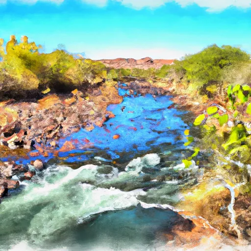 0.1 Miles Above Fish Barrier To Confluence With Black River
-
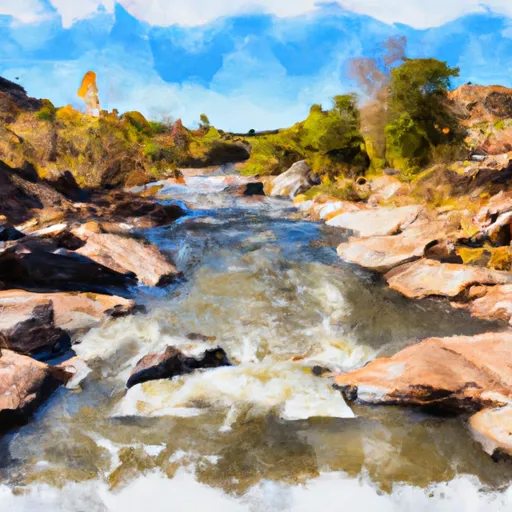 Confluence Of East/West Forks To 1/4 Mile Above Wildcat Crssing Bridge
-
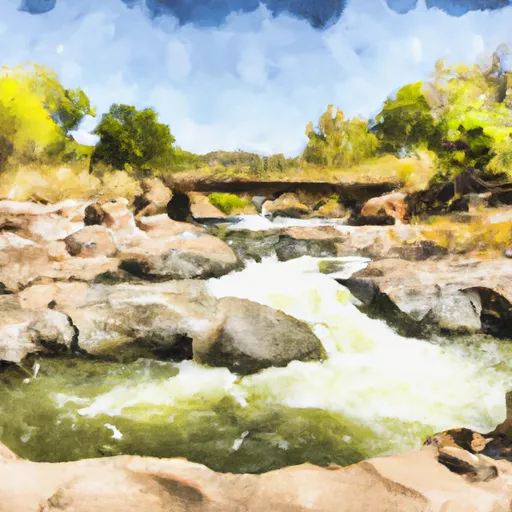 1/4 Mile Above Wildcat Crossing Bridge To 1/4 Mile Below Wildcat Crossing Bridge
-
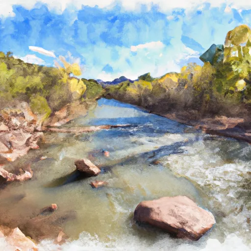 1/4 Mile Downstream Of Wildcat Crossing Bridge To Nf Boundary
-
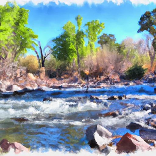 0.1 Mile Above Fish Barrier To Forest Boundary
-
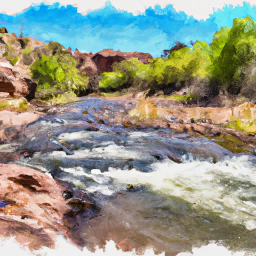 Confluence Of The North And South Forks Bear Wallow Creek To 0.1 Mile Above Fish Barrier


