Summary
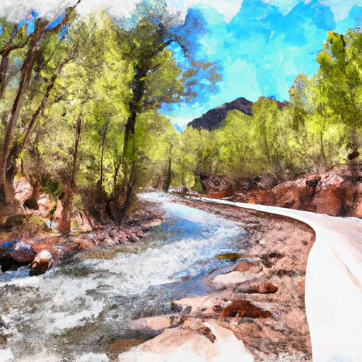
The ideal streamflow range for this segment is between 400 and 1,200 cubic feet per second (cfs). The class rating for this section is Class II-III, with some sections reaching Class IV at higher flows. The segment mileage is approximately 8.5 miles long and features several rapids and obstacles, including the Bear Wallow Rapid, which is a Class III+ rapid.
This section of the river is managed by the US Forest Service, and specific regulations apply to the area. A permit is required for all commercial outfitters, and private boaters should check with the local ranger station for current regulations and restrictions. The use of motorized watercraft is prohibited, and all boaters should carry appropriate safety equipment, including personal flotation devices. Additionally, all boaters should practice Leave No Trace principles to minimize their impact on the environment.
°F
°F
mph
Wind
%
Humidity
15-Day Weather Outlook
River Run Details
| Last Updated | 2026-02-07 |
| River Levels | 48 cfs (3.19 ft) |
| Percent of Normal | 18% |
| Status | |
| Class Level | ii-iii |
| Elevation | ft |
| Streamflow Discharge | cfs |
| Gauge Height | ft |
| Reporting Streamgage | USGS 09489500 |
5-Day Hourly Forecast Detail
Nearby Streamflow Levels
Area Campgrounds
| Location | Reservations | Toilets |
|---|---|---|
 Conklin Creek Campgrounds
|
||
 KP Cienega Campground
|
||
 KP Cienega
|
||
 Hannagan Campground
|
||
 Hannagan
|
||
 Strayhorse
|
River Runs
-
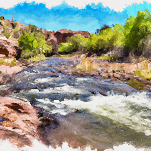 Confluence Of The North And South Forks Bear Wallow Creek To 0.1 Mile Above Fish Barrier
-
 0.1 Mile Above Fish Barrier To Forest Boundary
-
 Xx To Confluence With East Eagle Creek
-
 1/4 Mile Downstream Of Wildcat Crossing Bridge To Nf Boundary
-
 Kp Trailhead To Private Land Boundary In Scetion 11, T2N,R30E,Gila And Salt River Meridian
-
 Forest Road 24 To 0.1 Miles Above Fish Barrier


