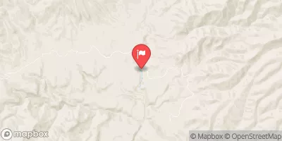
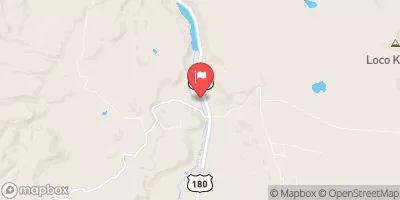
Summary
This segment of the river is classified as a Class III-IV, making it suitable for intermediate to advanced paddlers. The ideal streamflow range for this run is between 100-500 cfs, which can be affected by seasonal changes and weather patterns.
The river features several notable rapids, including the "Corner Pocket," "Chaos," and "Pinball." These rapids offer exciting challenges for experienced paddlers, but can be dangerous for those who are inexperienced or unprepared. In addition to rapids, there are also several obstacles to be aware of, including rocks, fallen trees, and narrow channels.
To ensure the safety of visitors and protect the natural environment, there are several regulations in place for this area. All visitors must obtain a permit prior to entering the river, and are required to follow Leave No Trace principles. Additionally, motorized vehicles are not allowed on the river, and visitors must adhere to river closure dates during the winter months.
Overall, the Whitewater River Run is a challenging and exciting option for experienced paddlers looking to explore Arizona's beautiful natural landscapes. However, visitors should be aware of the potential risks and regulations in order to ensure a safe and enjoyable experience.
°F
°F
mph
Wind
%
Humidity
15-Day Weather Outlook
River Run Details
| Last Updated | 2026-02-07 |
| River Levels | 48 cfs (3.19 ft) |
| Percent of Normal | 18% |
| Status | |
| Class Level | iii-iv |
| Elevation | ft |
| Streamflow Discharge | cfs |
| Gauge Height | ft |
| Reporting Streamgage | USGS 09489500 |
5-Day Hourly Forecast Detail
Nearby Streamflow Levels
Area Campgrounds
| Location | Reservations | Toilets |
|---|---|---|
 Conklin Creek Campgrounds
|
||
 KP Cienega Campground
|
||
 KP Cienega
|
||
 Hannagan Campground
|
||
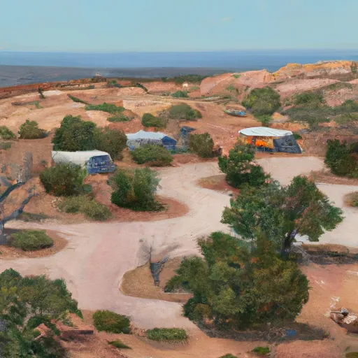 Hannagan
|
||
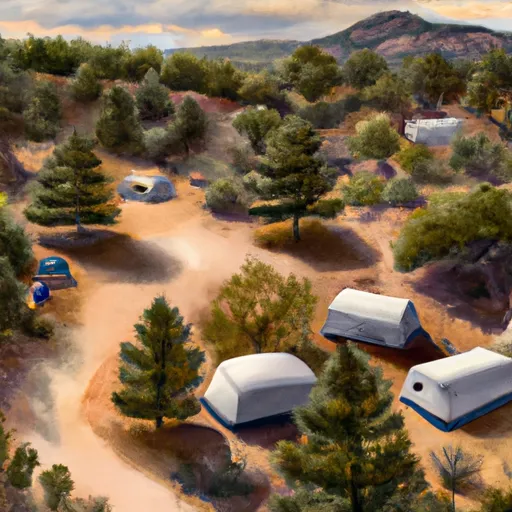 Honeymoon Campground
|
River Runs
-
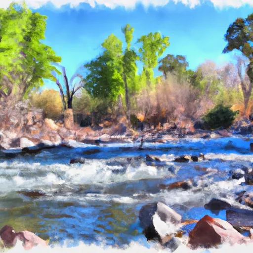 0.1 Mile Above Fish Barrier To Forest Boundary
-
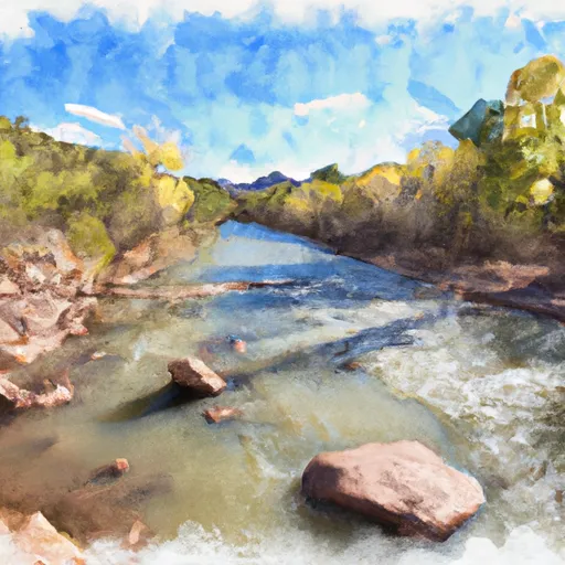 1/4 Mile Downstream Of Wildcat Crossing Bridge To Nf Boundary
-
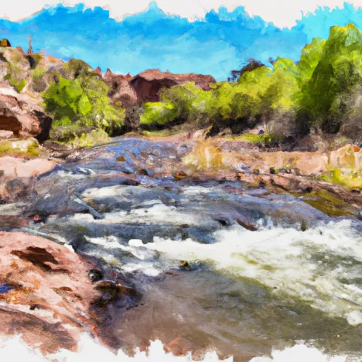 Confluence Of The North And South Forks Bear Wallow Creek To 0.1 Mile Above Fish Barrier
-
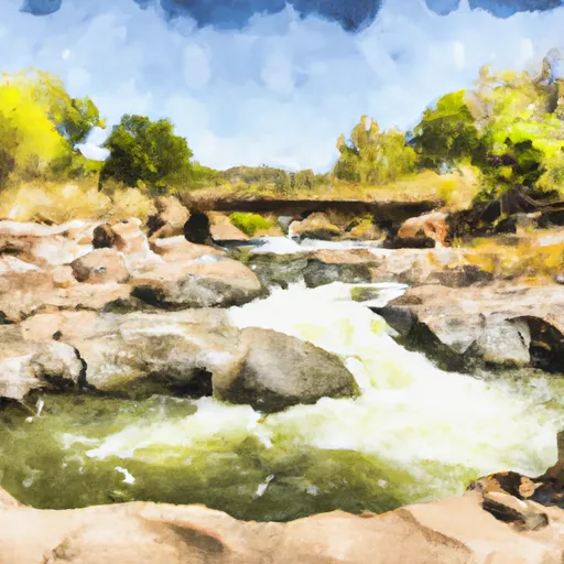 1/4 Mile Above Wildcat Crossing Bridge To 1/4 Mile Below Wildcat Crossing Bridge
-
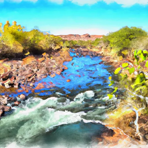 0.1 Miles Above Fish Barrier To Confluence With Black River
-
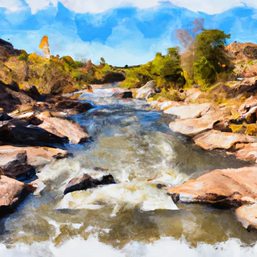 Confluence Of East/West Forks To 1/4 Mile Above Wildcat Crssing Bridge


