Salt River Indian Reservation Boundary To Immediately Above Granite Reef Dam Impoundment Paddle Report
Last Updated: 2026-02-07
The Salt River, located in the state of Arizona, is a popular whitewater rafting destination with a segment running from the Salt River Indian Reservation Boundary to immediately above Granite Reef Dam Impoundment.
Summary
The ideal streamflow range for this segment of the river is between 800 and 3000 cubic feet per second (cfs).
The Salt River is classified as a class III-IV river, which means it has moderate to difficult rapids that require advanced paddling skills. The segment from the Indian Reservation to Granite Reef Dam Impoundment covers a distance of approximately 52 miles. Along the way, rafters will encounter several notable rapids and obstacles, including Black Rock, Lower and Upper Sycamore, Corkscrew, and Hells Half Mile.
The Salt River is subject to specific regulations to ensure the safety and preservation of this natural resource. These regulations include obtaining permits from the Tonto National Forest, adhering to Leave No Trace principles, and carrying out all trash and litter. The Salt River is also closed from June 1 to September 30 every year to allow for the breeding and habitat restoration of native fish species.
Overall, the Salt River offers a challenging and exciting whitewater rafting experience, but it is essential to follow all regulations and guidelines to ensure the safety and preservation of this beautiful natural resource.
°F
°F
mph
Wind
%
Humidity
15-Day Weather Outlook
River Run Details
| Last Updated | 2026-02-07 |
| River Levels | 385 cfs (1.87 ft) |
| Percent of Normal | 122% |
| Status | |
| Class Level | iii-iv |
| Elevation | ft |
| Streamflow Discharge | cfs |
| Gauge Height | ft |
| Reporting Streamgage | USGS 09511300 |
5-Day Hourly Forecast Detail
Nearby Streamflow Levels
Area Campgrounds
| Location | Reservations | Toilets |
|---|---|---|
 Coon Bluff Campground
|
||
 Coon Bluff
|
||
 Phon D Sutton
|
||
 Larry Forbis Group Site
|
||
 Bulldog Canyon Off-Highway Vehicle Area
|
||
 Usery Park Campground
|


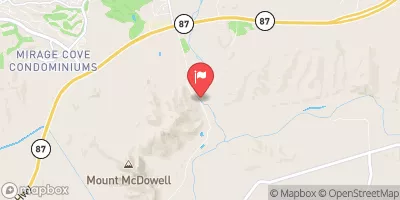
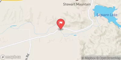
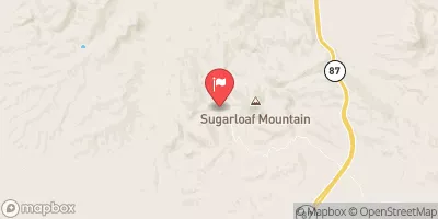
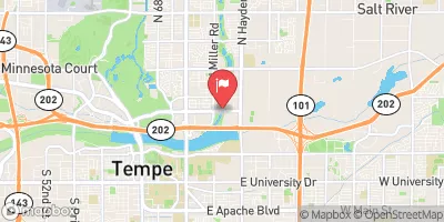
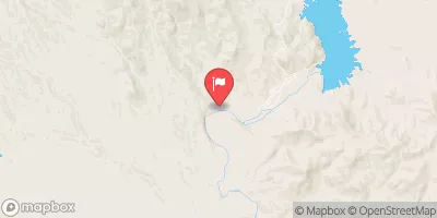
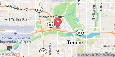
 Rafter Take-Out Parking
 Salt River Indian Reservation Boundary To Immediately Above Granite Reef Dam Impoundment
 Lower Salt
 Boundary Of The Primary Jurisdiction Below Stewart Mountain Dam To Salt River Indian Reservation Boundary
 Red Mountain District Park
 Equestrian Park
 Ensenada Park
 Gene Autry Park
 Princess Park