Summary
°F
°F
mph
Wind
%
Humidity
15-Day Weather Outlook
River Run Details
| Last Updated | 2026-02-07 |
| River Levels | 48 cfs (3.19 ft) |
| Percent of Normal | 18% |
| Status | |
| Class Level | None |
| Elevation | ft |
| Streamflow Discharge | cfs |
| Gauge Height | ft |
| Reporting Streamgage | USGS 09489500 |
5-Day Hourly Forecast Detail
Nearby Streamflow Levels
Area Campgrounds
| Location | Reservations | Toilets |
|---|---|---|
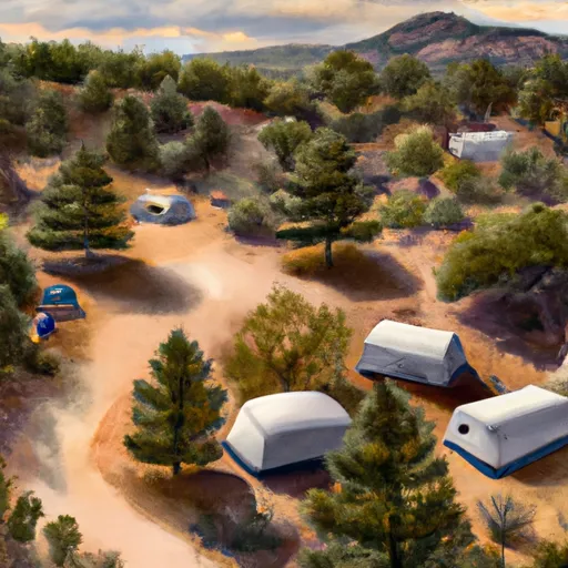 Honeymoon Campground
|
||
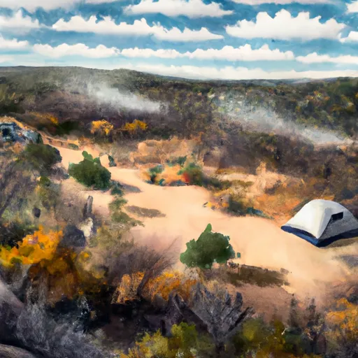 Honeymoon
|
||
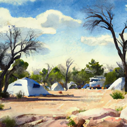 KP Cienega Campground
|
||
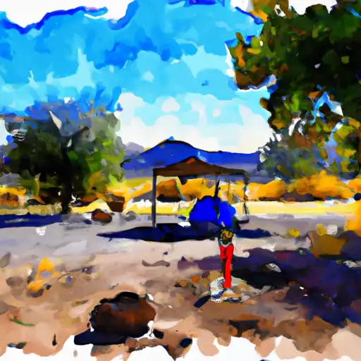 KP Cienega
|
||
 Strayhorse
|
||
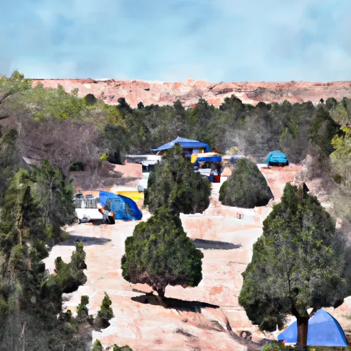 Strayhorse Campground
|
River Runs
-
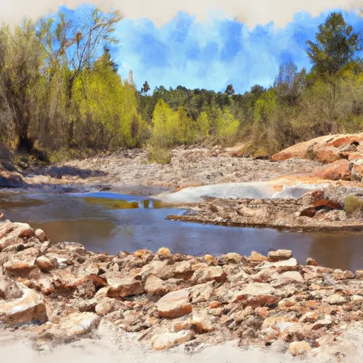 1/4 Mile Below Forest Road 587 To Sawmill Cabin
-
 Sawmill Cabin To Confluence With Eagle River
-
 Xx To Confluence With East Eagle Creek
-
 Kp Trailhead To Private Land Boundary In Scetion 11, T2N,R30E,Gila And Salt River Meridian
-
 Headwaters To 1/4 Mile Below Forest Road 587
-
 Confluence Of The North And South Forks Bear Wallow Creek To 0.1 Mile Above Fish Barrier


