Summary
The ideal streamflow range for this run is between 800 to 1,200 cfs, which provides a steady flow with enough rapids and obstacles to create an adrenaline-filled ride.
The class rating for this river run ranges from Class III to Class IV, making it a challenging and technical run that requires advanced skills and experience. The segment mileage for this river run is approximately 11 miles, with various rapids and obstacles along the way.
Some of the specific rapids and obstacles on this river run include The Chute, Corkscrew, and Drop Zone. These rapids offer a mix of technical maneuvers and fast-paced drops that are sure to get your heart racing.
It is important to note that there are specific regulations and permits required for this river run. The Bureau of Land Management (BLM) manages the area and requires a permit for all river trips. Additionally, all rafts must have a throw bag, rescue rope, and a Type III or V personal flotation device (PFD) for each person on board.
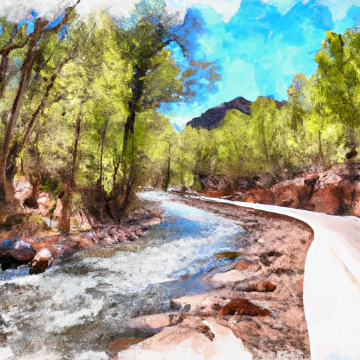
In conclusion, the Whitewater River Run XX to Confluence with East Eagle Creek in Arizona is a challenging and technical river run that offers an exhilarating adventure for experienced rafters. The ideal streamflow range, class rating, segment mileage, specific river rapids/obstacles, and specific regulations should be closely observed to ensure a safe and enjoyable experience.
°F
°F
mph
Wind
%
Humidity
15-Day Weather Outlook
River Run Details
| Last Updated | 2026-02-07 |
| River Levels | 48 cfs (3.19 ft) |
| Percent of Normal | 18% |
| Status | |
| Class Level | iii-iv |
| Elevation | ft |
| Streamflow Discharge | cfs |
| Gauge Height | ft |
| Reporting Streamgage | USGS 09489500 |
5-Day Hourly Forecast Detail
Nearby Streamflow Levels
Area Campgrounds
| Location | Reservations | Toilets |
|---|---|---|
 KP Cienega Campground
|
||
 KP Cienega
|
||
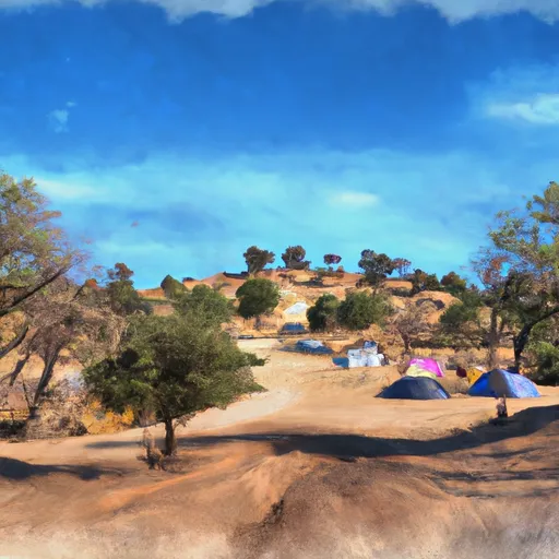 Conklin Creek Campgrounds
|
||
 Strayhorse
|
||
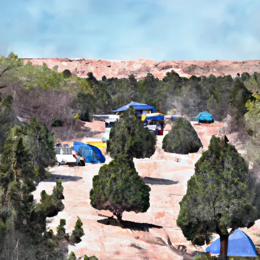 Strayhorse Campground
|
||
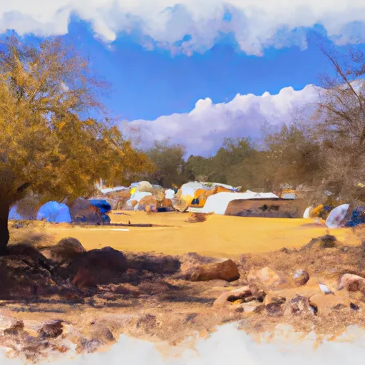 Hannagan Campground
|
River Runs
-
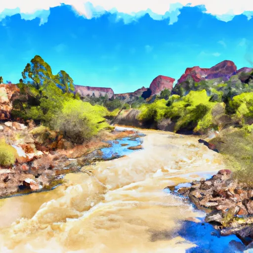 Xx To Confluence With East Eagle Creek
-
 Kp Trailhead To Private Land Boundary In Scetion 11, T2N,R30E,Gila And Salt River Meridian
-
 Headwaters To 1/4 Mile Below Forest Road 587
-
 Confluence Of The North And South Forks Bear Wallow Creek To 0.1 Mile Above Fish Barrier
-
 1/4 Mile Below Forest Road 587 To Sawmill Cabin
-
 Forest Road 24 To 0.1 Miles Above Fish Barrier


