Summary
The ideal streamflow range for this run is between 200-500 cfs, although it can be run at higher flows. The run features several notable rapids such as Corkscrew, Tangle, and Salt Mine, and is known for its narrow channels and tight turns.
While this run is popular with experienced kayakers and rafters, it is important to note that the area is also home to several endangered species, including the Chiricahua leopard frog and Mexican spotted owl. As such, there are specific regulations in place to protect the area, such as restrictions on camping and limits on group size.
It is important to note that while this run can be a thrilling adventure, it is also a challenging one that should only be attempted by experienced paddlers with the appropriate gear and training. It is also important to be aware of changing weather conditions and to always prioritize safety over adventure.
°F
°F
mph
Wind
%
Humidity
15-Day Weather Outlook
River Run Details
| Last Updated | 2025-06-28 |
| River Levels | 0 cfs (1.16 ft) |
| Percent of Normal | 0% |
| Status | |
| Class Level | iii-iv |
| Elevation | ft |
| Streamflow Discharge | cfs |
| Gauge Height | ft |
| Reporting Streamgage | USGS 09498503 |
5-Day Hourly Forecast Detail
Nearby Streamflow Levels
Area Campgrounds
| Location | Reservations | Toilets |
|---|---|---|
 Reynolds Creek Group Campground
|
||
 Reynolds Creek Campground
|
||
 Sawmill Flats
|
||
 Rose Creek
|
||
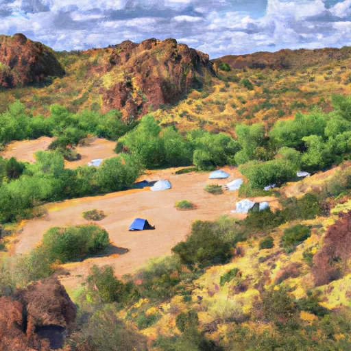 Sawmill Flats Dispersed
|
||
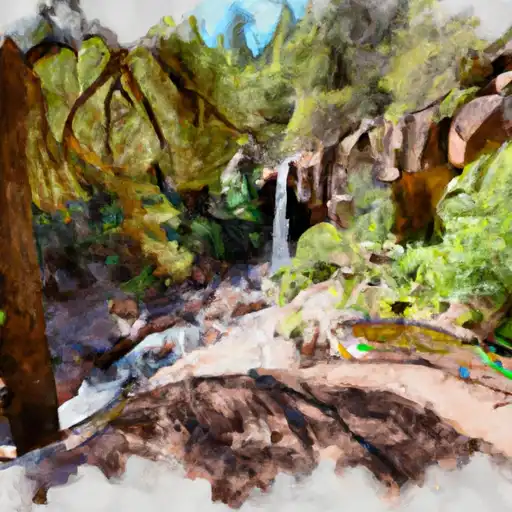 Workman Creek Falls
|
River Runs
-
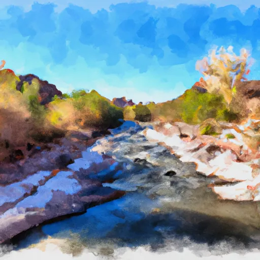 Salome Wilderness Boundary To Confluence With Salome Creek
-
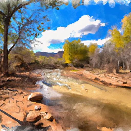 Confluence With Turkey Creek To Forest Road 60 Just Above Tin Hat Ranch
-
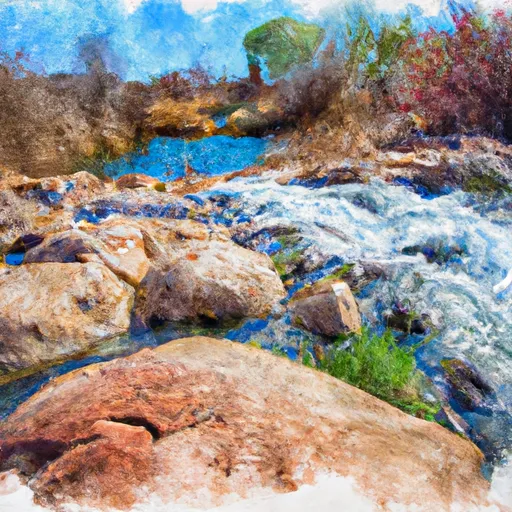 Rock Springs To Confluence With Cottonwood Wash
-
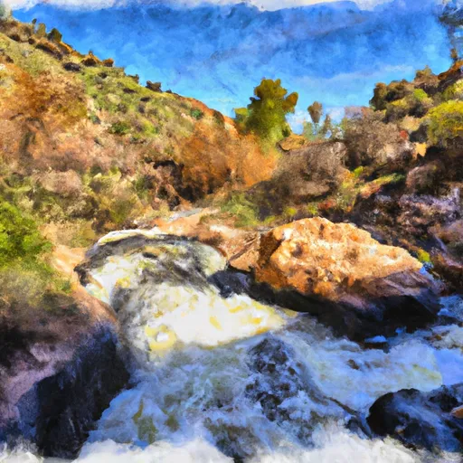 Workman Falls To Salome Wilderness Boundary
-
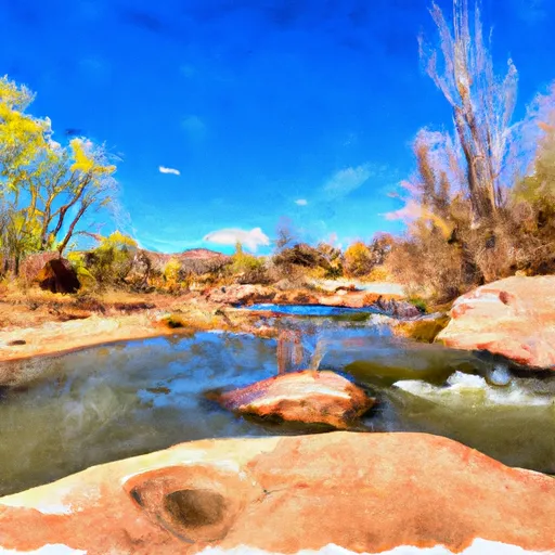 Billy Lawrence Creek To North Property Boundary Of Ellison Ranch
-
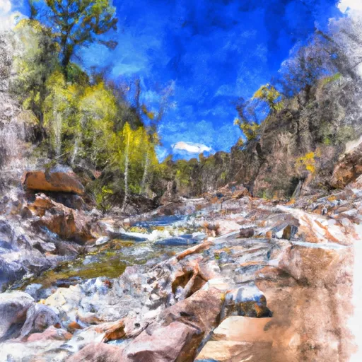 Forest Road 486 To Hellsgate Wilderness Boundary


