Summary
With a class rating of IV-V, this stretch of river features challenging rapids and obstacles. The ideal streamflow range for this segment is between 500-1,000 cfs, which provides for a thrilling ride, while still maintaining a manageable level of difficulty.
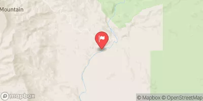
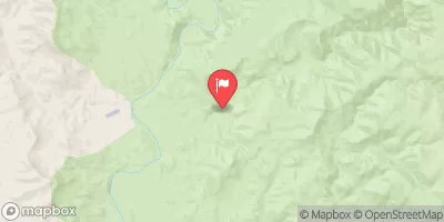
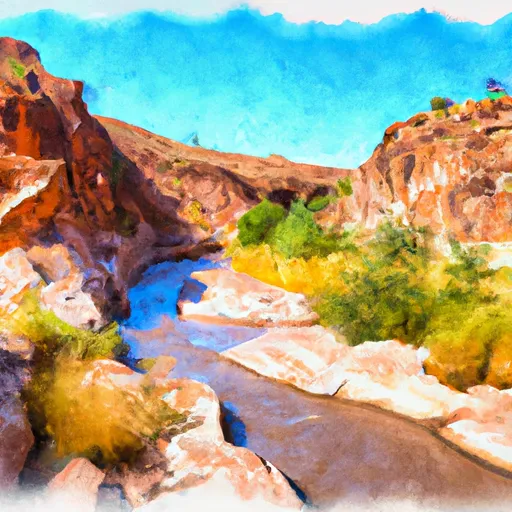
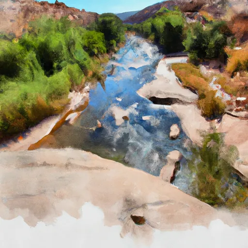
The Lousy Canyon segment covers approximately 6 miles, starting at the Lousy Canyon Trailhead and ending at the Whitewater Draw Wildlife Area. The rapids on this section of the river include "The Maze," "The Vortex," and "The Plunge," among others. These rapids are known for their technical difficulty and require advanced paddling skills to navigate.
To ensure safety on the river, there are specific regulations in place for this area. All visitors are required to obtain a permit from the Bureau of Land Management, and there are restrictions on the number of people allowed on the river at any given time. Additionally, visitors are required to follow Leave No Trace principles, as this area is a designated wilderness area.
Overall, the Lousy Canyon segment of the Whitewater River is a challenging and rewarding experience for experienced whitewater paddlers. However, it is important to take appropriate safety measures and to respect the regulations in place to protect the area.
°F
°F
mph
Wind
%
Humidity
15-Day Weather Outlook
River Run Details
| Last Updated | 2025-06-28 |
| River Levels | 1 cfs (2.45 ft) |
| Percent of Normal | 73% |
| Status | |
| Class Level | None |
| Elevation | ft |
| Streamflow Discharge | cfs |
| Gauge Height | ft |
| Reporting Streamgage | USGS 09512500 |


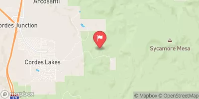
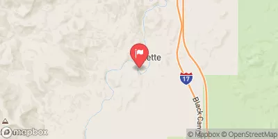
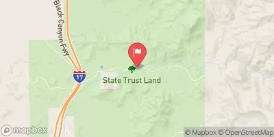
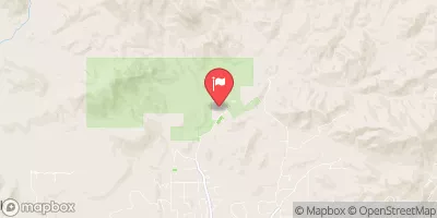
 Lousy Canyon
 Lousy Canyon Tributary
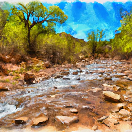 Larry Creek
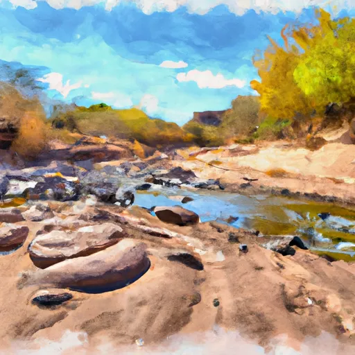 Tank Creek
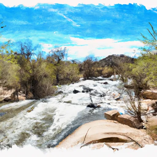 Agua Fria River
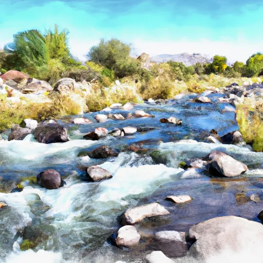 Bishop Creek