Summary
The river is rated as Class IV and requires significant experience to navigate. The ideal streamflow range for Little Ash Creek is between 200 and 600 cubic feet per second (cfs) during the spring months. The segment mileage of the river run is approximately 4.5 miles long, with a drop of 200 feet over the course of the run.
There are several notable rapids and obstacles on Little Ash Creek, including the Entrance Rapid, which features a steep drop and a large boulder in the middle of the stream. Other challenging rapids include The Narrows, a narrow section of the river with several large boulders and tight turns, and The S-Turn, a series of tight, technical turns that require precise maneuvering.
There are specific regulations in place for Little Ash Creek, including a permit system that limits the number of daily launches on the river. Additionally, all boaters are required to wear personal floatation devices and follow Leave No Trace principles to protect the fragile ecosystem surrounding the river.
°F
°F
mph
Wind
%
Humidity
15-Day Weather Outlook
River Run Details
| Last Updated | 2025-06-28 |
| River Levels | 1 cfs (2.45 ft) |
| Percent of Normal | 73% |
| Status | |
| Class Level | iv |
| Elevation | ft |
| Streamflow Discharge | cfs |
| Gauge Height | ft |
| Reporting Streamgage | USGS 09512500 |


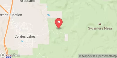
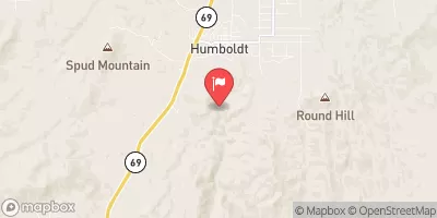
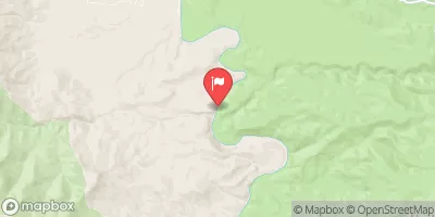
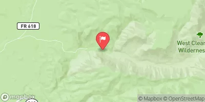
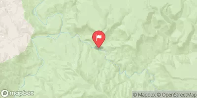

 Little Ash Creek
 Ash Creek
 Sycamore Creek
 Agua Fria River
 Indian Creek