Summary
The ideal streamflow range for Ash Creek is between 100-300 cubic feet per second (cfs), and the class rating is typically between III-IV. The segment mileage for the Ash Creek run is approximately 6 miles.
One of the most notable rapids on the Ash Creek run is called "The Needle," which is a narrow chute with a large boulder in the middle, creating a challenging obstacle for kayakers and rafters. Another notable rapid is "The Narrows," which is a steep drop that requires precise navigation to avoid capsizing.
There are specific regulations for the Ash Creek run, including the requirement for all participants to wear a personal flotation device (PFD) and have a whistle on hand. Additionally, there are restrictions on the use of motorized watercraft and a limit on group sizes.
°F
°F
mph
Wind
%
Humidity
15-Day Weather Outlook
River Run Details
| Last Updated | 2025-06-28 |
| River Levels | 1 cfs (2.45 ft) |
| Percent of Normal | 73% |
| Status | |
| Class Level | None |
| Elevation | ft |
| Streamflow Discharge | cfs |
| Gauge Height | ft |
| Reporting Streamgage | USGS 09512500 |


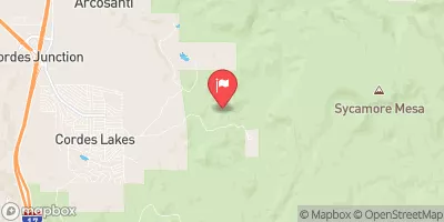
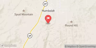
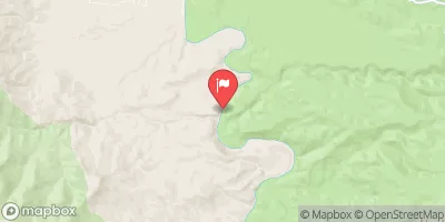
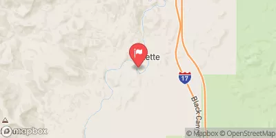

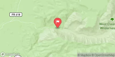
 Ash Creek
 Little Ash Creek
 Agua Fria River
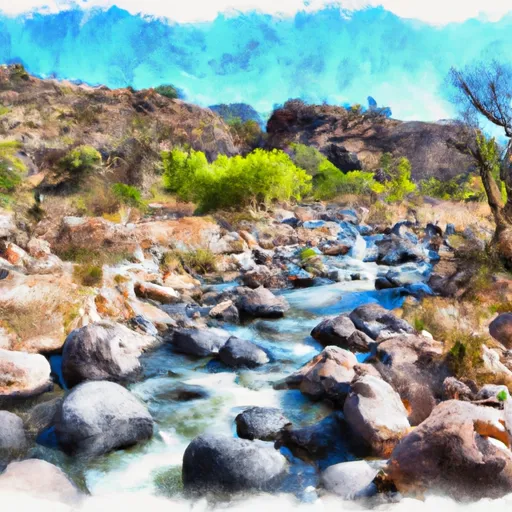 Sycamore Creek
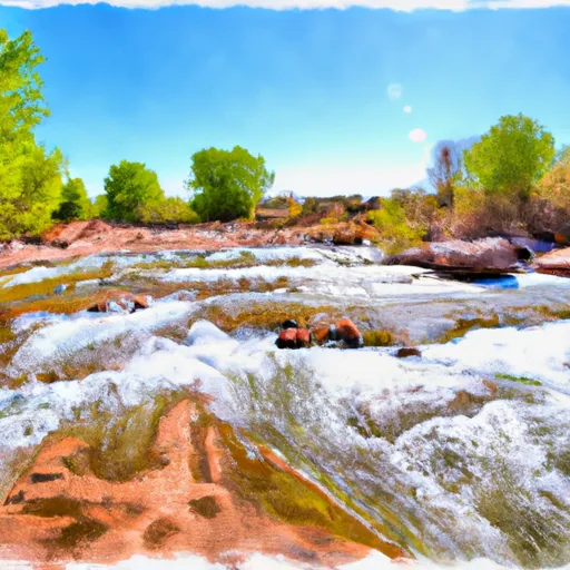 Indian Creek