Summary
The ideal streamflow range for the creek is between 200-500 cubic feet per second (cfs), and it is rated as a class III-IV river. The segment mileage of the creek is approximately 18 miles, and there are several specific river rapids and obstacles to navigate, including "The Meat Grinder," "The Toilet Bowl," and "The Chute."
The creek is subject to regulations and restrictions to protect the environment and ensure safety for all visitors. The Tonto National Forest, which manages the area, requires all visitors to obtain a permit before entering the creek. Additionally, visitors are required to follow Leave No Trace principles and are prohibited from camping within 200 feet of the creek.
Overall, Sycamore Creek offers a thrilling whitewater experience for experienced kayakers and rafters who are looking for a challenging adventure. However, it is important to check current streamflow conditions and obtain all necessary permits before embarking on a trip down the creek.
°F
°F
mph
Wind
%
Humidity
15-Day Weather Outlook
River Run Details
| Last Updated | 2025-06-28 |
| River Levels | 1 cfs (2.45 ft) |
| Percent of Normal | 73% |
| Status | |
| Class Level | iii-iv |
| Elevation | ft |
| Streamflow Discharge | cfs |
| Gauge Height | ft |
| Reporting Streamgage | USGS 09512500 |


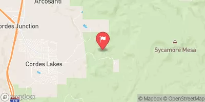
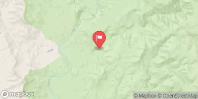
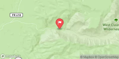
 Sycamore Creek
 Little Ash Creek
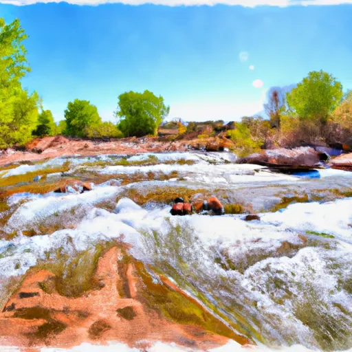 Indian Creek
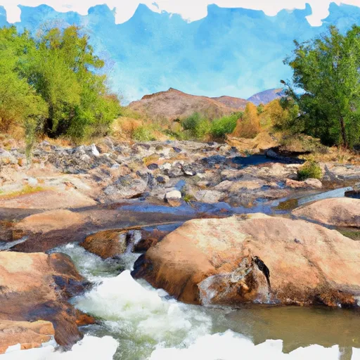 Agua Fria River
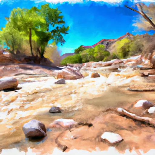 Ash Creek
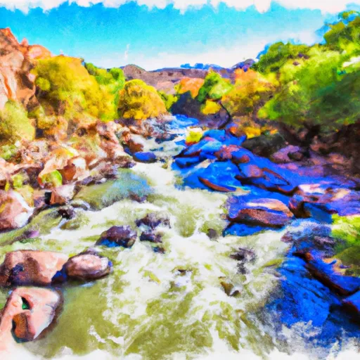 Silver Creek