Summary
The ideal streamflow range for this section is between 200 and 800 cfs, which typically occurs during the spring and early summer months. The class rating for this section is Class IV, with several Class V rapids that require advanced skills and experience.
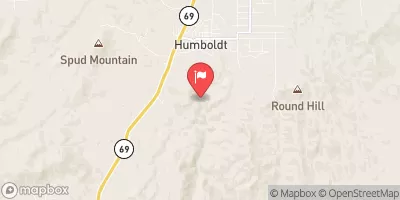
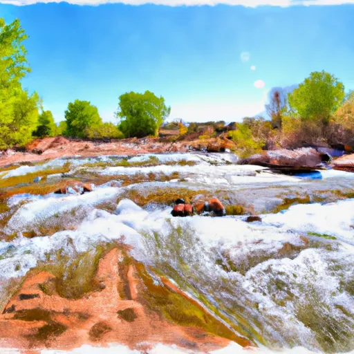
The segment mileage for Indian Creek is approximately 6 miles, starting at the Indian Creek Trailhead and ending at the Whitewater Trailhead. Along this section, paddlers will encounter numerous obstacles and rapids, including the infamous Siphon Drop and the technical Flume Rapid. Other notable rapids include Roadside, Slide, and Corkscrew.
To ensure the safety of all paddlers and protect the natural environment, there are specific regulations that must be followed in the Indian Creek section. For example, a permit is required to access this section, which can be obtained through the Tonto National Forest website. Additionally, all paddlers must wear appropriate safety gear, including helmets and personal flotation devices, and are required to carry out all trash and waste.
°F
°F
mph
Wind
%
Humidity
15-Day Weather Outlook
River Run Details
| Last Updated | 2025-06-28 |
| River Levels | 1 cfs (2.45 ft) |
| Percent of Normal | 73% |
| Status | |
| Class Level | iv-v |
| Elevation | ft |
| Streamflow Discharge | cfs |
| Gauge Height | ft |
| Reporting Streamgage | USGS 09512500 |




 Indian Creek
 Sycamore Creek
 Silver Creek
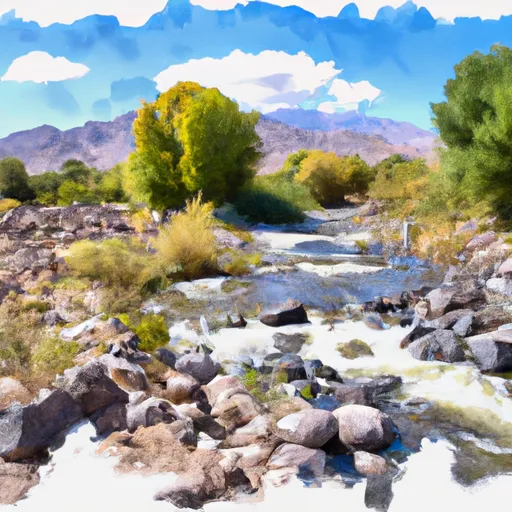 Bishop Creek
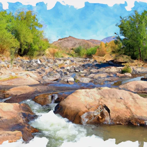 Agua Fria River