Summary
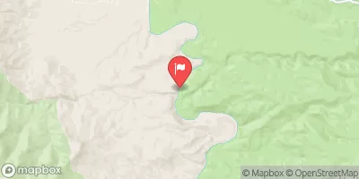
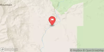
The ideal streamflow range for this section is between 200-300 cfs. The segment mileage of the run is approximately 8.5 miles, starting at the Sheep's Crossing Campground and ending at the community of Greer.
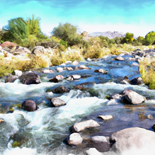
The river is known for its continuous rapids with drops, twists, and turns. Some of the notable rapids and obstacles include Horseshoe Bend, The Ledges, and The Wall. It is recommended that only experienced kayakers and rafters attempt this run due to the technical nature of the rapids.
There are specific regulations for the Bishop Creek area that include a permit system for commercial outfitters, restrictions on camping and campfires, and a prohibition on glass containers. It is important for visitors to review and follow these regulations to ensure the preservation of the area and safety of all visitors.
Overall, Bishop Creek provides a challenging and exciting whitewater experience for experienced paddlers. It is important to check streamflow levels and review safety protocols before attempting this run.
°F
°F
mph
Wind
%
Humidity
15-Day Weather Outlook
River Run Details
| Last Updated | 2025-06-28 |
| River Levels | 1 cfs (2.45 ft) |
| Percent of Normal | 73% |
| Status | |
| Class Level | iii |
| Elevation | ft |
| Streamflow Discharge | cfs |
| Gauge Height | ft |
| Reporting Streamgage | USGS 09512500 |


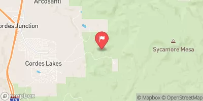
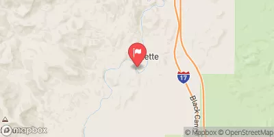
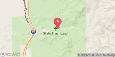
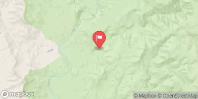
 Bishop Creek
 Silver Creek
 Tank Creek
 Agua Fria River
 Lousy Canyon Tributary