Summary
The ideal streamflow range for this river is between 200 and 500 cubic feet per second (cfs), which can be checked on the USGS website. The river is rated as Class III, meaning it has moderate rapids with irregular waves and requires some maneuvering. The segment mileage of Silver Creek is approximately 9 miles long, starting at the confluence of East Verde River and ending at the Tonto Creek Fish Hatchery.
This river run features several notable rapids, including the "Corkscrew" and "Boxcar," which offer thrilling whitewater experiences. Other notable obstacles include rocks, ledges, and tight turns that require expert navigation. It is important to note that the river can be dangerous during flash floods, which are common in the area.
There are specific regulations in place for the Silver Creek area, including a daily permit requirement for all river users. Additionally, there are restrictions on the use of motorized watercraft, and camping is only allowed in designated areas. It is important to follow all regulations and safety guidelines to ensure a safe and enjoyable experience on Silver Creek.
°F
°F
mph
Wind
%
Humidity
15-Day Weather Outlook
River Run Details
| Last Updated | 2025-06-28 |
| River Levels | 1 cfs (2.45 ft) |
| Percent of Normal | 73% |
| Status | |
| Class Level | silver-iii |
| Elevation | ft |
| Streamflow Discharge | cfs |
| Gauge Height | ft |
| Reporting Streamgage | USGS 09512500 |


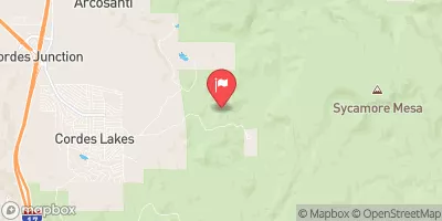
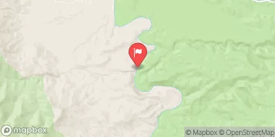

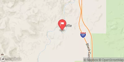

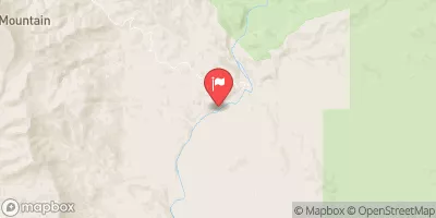
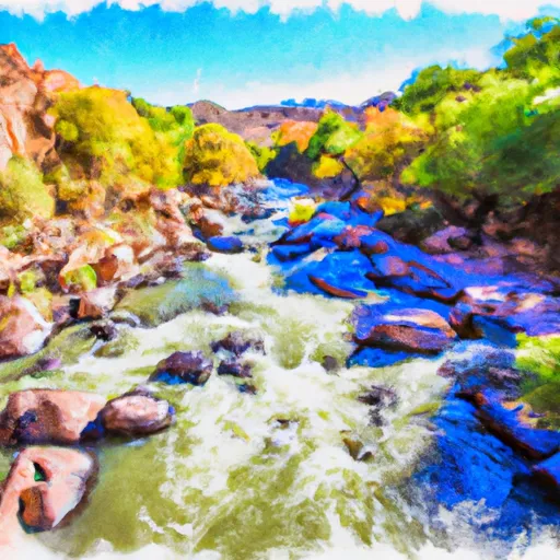 Silver Creek
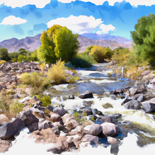 Bishop Creek
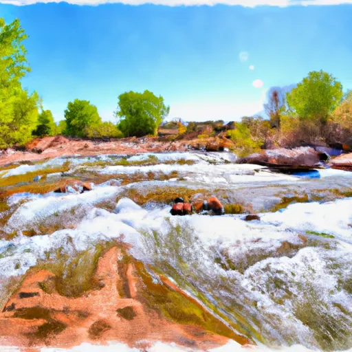 Indian Creek
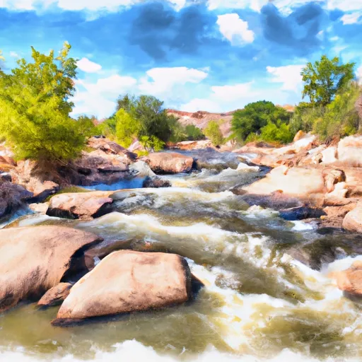 Agua Fria River
 Tank Creek