

Freeze Warning
2026-05-07T08:00:00-06:00
2026-05-07T08:00:00-06:00
* WHAT...Sub-freezing temperatures of 22 to 28 degrees, coldest in low lying areas on the plains. * WHERE...All of the plains and I-25 Corridor in northeast and east central Colorado. * WHEN...From 8 PM this evening to 8 AM MDT Thursday. * IMPACTS...Frost and freeze conditions could kill crops, other sensitive vegetation and possibly damage unprotected outdoor plumbing.
Summary
Regional Streamflow Levels

15-Day Long Term Forecast
River Run Details
| Last Updated | |
| River Levels | cfs ( ft) |
| Percent of Normal | +100% |
| Status | |
| Class Level | III- |
| Elevation | ft |
| Run Length | 0.1 Mi |
| Streamflow Discharge | cfs |
| Gauge Height | ft |
| Reporting Streamgage | USGS |

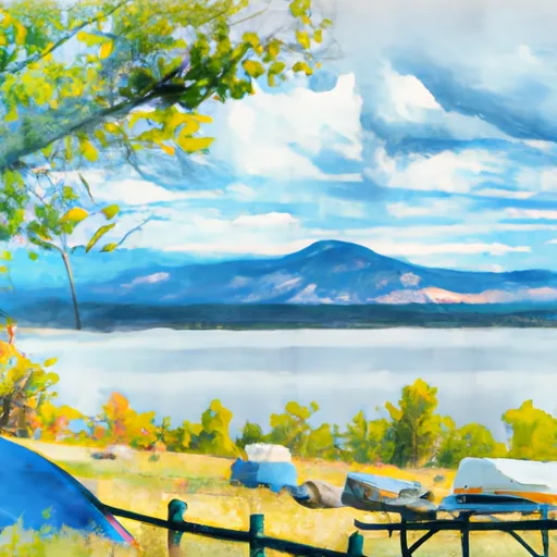
 Meadow Park
 Carter Lake - South Side Campgrounds
 Boulder County Fairground
 North Pine Campground
 Carter Lake - North Side Campgrounds
 Pinewood Reservoir
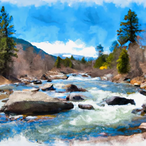
 Black Bear Hole & A-Hole
 October Hole
 SSV - Confluence to Picnic Grounds
 NSV
NSV
 Lower Boulder Canyon
 Begins 0.5 Miles Upstream From End Of County Hwy 115 To Eastern Boundary Of Rocky Mountain National Park
 Hover Park
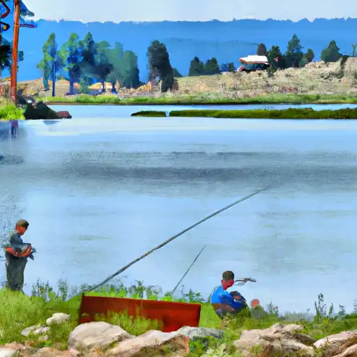
 Raber Park
 Golden Ponds Park
 Loomiller Park
 Boulder County Park
 McCall Lake
 South Saint Vrain Fishing Site #4
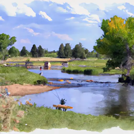 Pella Crossing
 Ralph Price Reservoir (Button Rock)
 McIntosh Lake