Summary
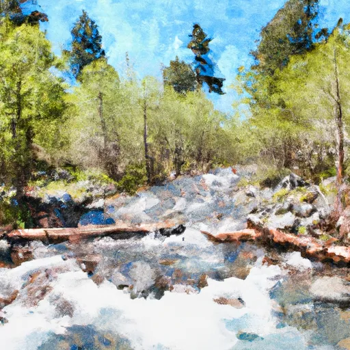
The ideal streamflow range for this section of the San Joaquin River is between 300-800 cfs, making it a Class III-IV rated run.
The segment mileage for this run is approximately 6.5 miles, which includes exciting rapids such as the "Devil's Washbowl," "Hole in the Wall," and "Red's Slide." These rapids offer thrilling drops and challenging obstacles, making for an exciting whitewater experience.
However, it is important to note that this run requires a permit from the National Park Service and is only open during specific times of the year. Additionally, only licensed commercial rafting companies are allowed to guide trips on this section of the river.
In terms of regulations, visitors must follow all Leave No Trace principles and are required to wear personal flotation devices at all times while on the river. Camping is not allowed along the riverbank, and fires are only permitted in designated areas.
Overall, the Whitewater River Run from Soda Springs Footbridge in Devils Postpile National Monument to Rainbow Falls in California is an exhilarating and challenging whitewater experience that requires proper preparation and adherence to regulations.
°F
°F
mph
Wind
%
Humidity
15-Day Weather Outlook
River Run Details
| Last Updated | 2026-02-19 |
| River Levels | 886 cfs (5.98 ft) |
| Percent of Normal | 694% |
| Status | |
| Class Level | iii-iv |
| Elevation | ft |
| Run Length | 10.0 Mi |
| Streamflow Discharge | cfs |
| Gauge Height | ft |
| Reporting Streamgage | USGS 11224000 |
5-Day Hourly Forecast Detail
Nearby Streamflow Levels
Area Campgrounds
| Location | Reservations | Toilets |
|---|---|---|
 Reds Meadow Campground
|
||
 Reds Meadow Campground (Seasonal)
|
||
 Minaret Falls Campground (Seasonal)
|
||
 Minaret Falls
|
||
 Reds Meadow
|
||
 Minaret Falls Campground
|
River Runs
-
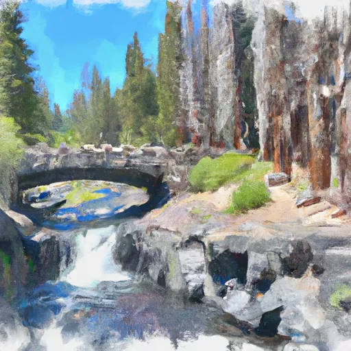 Soda Springs Footbridge In Devils Postpile National Monument To Rainbow Falls
-
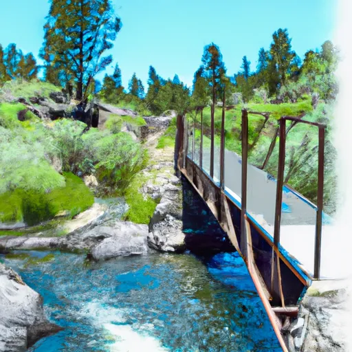 Agnew Meadows To Soda Springs Footbridge
-
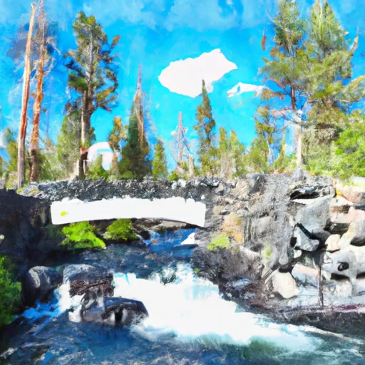 National Monument Boundary To Soda Springs Footbridge In Devils Postpile National Monument
-
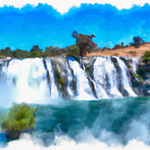 Rainbow Falls To National Monument Boundary
-
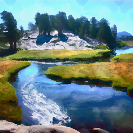 Headwaters At Thousand Island Lake To Agnew Meadows
-
 Headwaters In Sec 8, T3S, R25 E To Hemlock Crossing


 Owens River Headwaters Wilderness
 Mammoth Creek Community Park
 Trails End Park
 Twin Lakes (Mammoth Lakes)
 Lake Mary Fishing Site
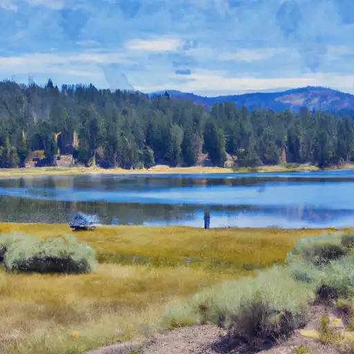 Lake Mary
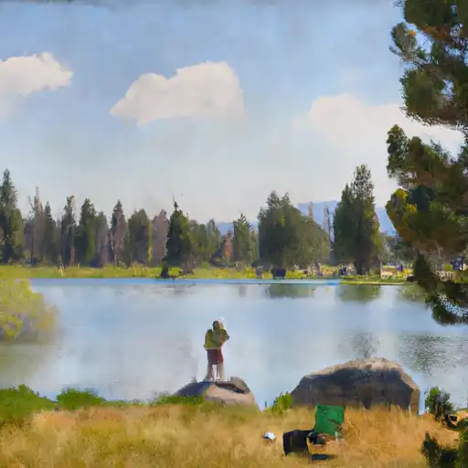 Ediza Lake
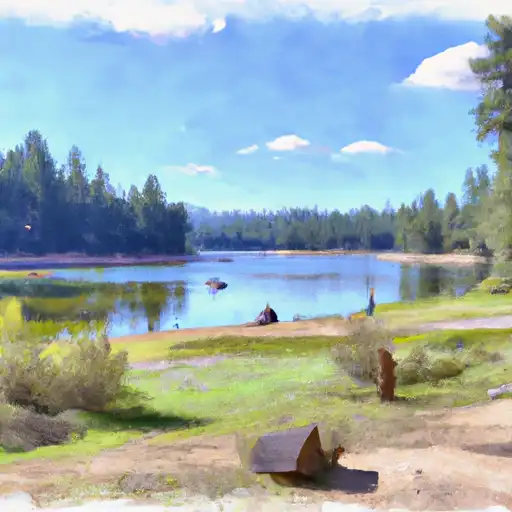 Deer Lakes