2026-02-21T10:00:00-08:00
* WHAT...Low temperatures from to ten degrees with isolated locations reaching 5 degrees below zero above 6,000 feet of the Sierra Nevada. Low temperatures of 10 to 20 degrees in the Sierra Nevada below 6,000 feet into the adjacent foothills. * WHERE...A portion of central California. * WHEN...Until 10 AM PST Saturday. * IMPACTS...Dangerous frostbite possible on unprotected skin. Wind chills reaching well below zero degrees on Friday morning.
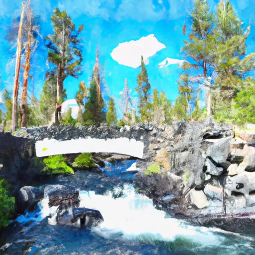
National Monument Boundary To Soda Springs Footbridge In Devils Postpile National Monument Paddle Report
Last Updated: 2026-02-07
The Whitewater River Run from the National Monument Boundary to the Soda Springs Footbridge in Devils Postpile National Monument, California, is a popular destination for whitewater enthusiasts.
Summary
The ideal streamflow range (cfs) for this section of the river is between 150-600 cfs. The class rating for this section of the river ranges from II to IV, depending on the water level.
The segment mileage for this section of the river is approximately 6 miles. Along the way, paddlers can expect to encounter a series of rapids and obstacles, including the "Devil's Slide," "Rainbow Falls," and "Hole in the Wall." These rapids are challenging and require skill and experience to navigate.
To ensure the safety of all visitors, there are specific regulations in place for the Whitewater River Run. Paddlers are required to wear personal flotation devices (PFDs) and helmets at all times while on the river. Additionally, groups of 15 or more are required to obtain a permit from the National Park Service prior to entering the river.
In conclusion, the Whitewater River Run from the National Monument Boundary to the Soda Springs Footbridge in Devils Postpile National Monument is a challenging and exciting whitewater destination. With the ideal streamflow range, class rating, segment mileage, specific river rapids/obstacles, and specific regulations, paddlers can safely enjoy the beauty and thrill of this section of the river.
°F
°F
mph
Wind
%
Humidity
15-Day Weather Outlook
River Run Details
| Last Updated | 2026-02-07 |
| River Levels | 886 cfs (5.98 ft) |
| Percent of Normal | 132% |
| Status | |
| Class Level | None |
| Elevation | ft |
| Run Length | 10.0 Mi |
| Streamflow Discharge | cfs |
| Gauge Height | ft |
| Reporting Streamgage | USGS 11224000 |
5-Day Hourly Forecast Detail
Nearby Streamflow Levels
Area Campgrounds
River Runs
-
 National Monument Boundary To Soda Springs Footbridge In Devils Postpile National Monument
-
 Agnew Meadows To Soda Springs Footbridge
-
 Soda Springs Footbridge In Devils Postpile National Monument To Rainbow Falls
-
 Rainbow Falls To National Monument Boundary
-
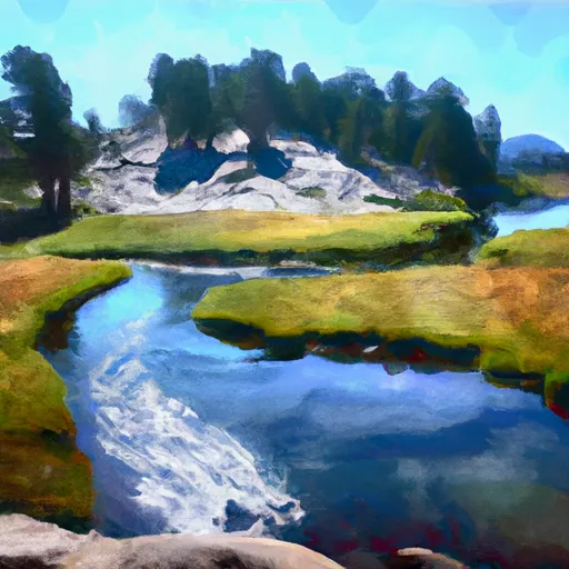 Headwaters At Thousand Island Lake To Agnew Meadows
-
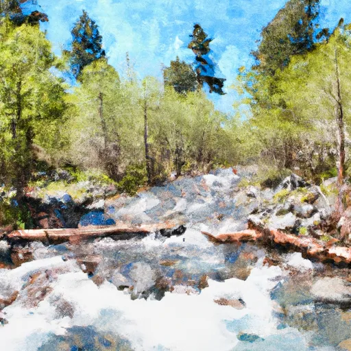 Headwaters In Sec 8, T3S, R25 E To Hemlock Crossing


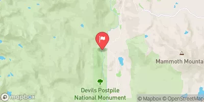
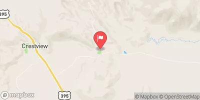
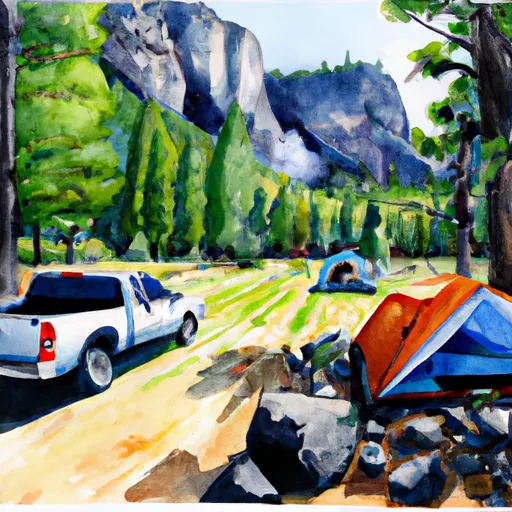 Minaret Falls Campground (Seasonal)
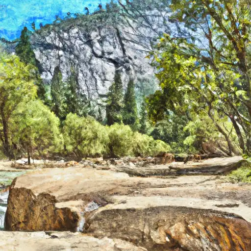 Minaret Falls
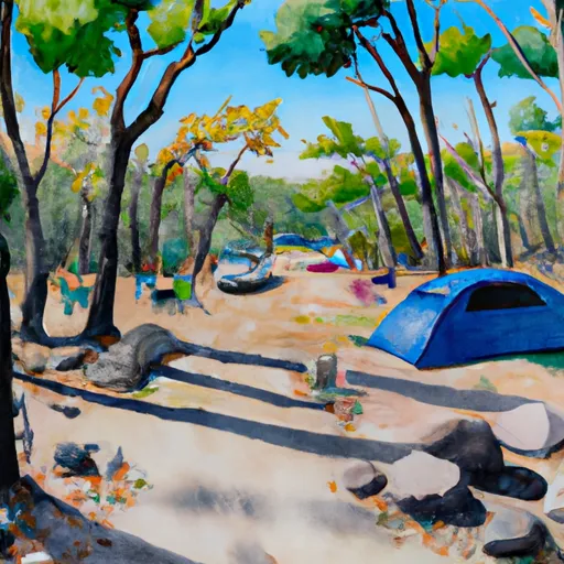 Minaret Falls Campground
 Reds Meadow Campground
 Pumice Flat Group Campground
 Reds Meadow Campground (Seasonal)
 Owens River Headwaters Wilderness
 Mammoth Creek Community Park
 Trails End Park
 Twin Lakes (Mammoth Lakes)
 Lake Mary Fishing Site
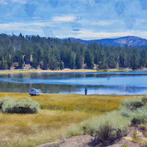 Lake Mary
 Ediza Lake
 Deer Lakes