Deer Creek-Highway 32 Junction To Sec 26, T27n, R3e, West Of Deer Creek Crossing Paddle Report
Last Updated: 2026-02-07
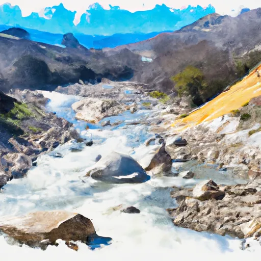
The Deer Creek-Highway 32 Junction to Sec 26, T27N, R3E, West of Deer Creek Crossing run in California is a popular whitewater river run with an ideal streamflow range of 500-1000 cfs.
Summary
The segment covers a distance of 7.1 miles and is rated as Class III-IV, making it suitable for intermediate to advanced paddlers.
The river run features several notable rapids and obstacles, including the Razorback, a Class IV rapid with a steep drop and a narrow chute; the Meatgrinder, which consists of a series of large waves and holes; and the Deer Creek Falls, a Class III drop that requires precise navigation.
Paddlers should be aware of specific regulations in the area, such as a 10-person maximum group size and a requirement to carry out all human waste. Additionally, it is recommended that paddlers have experience with Class III-IV rapids and wear appropriate safety gear, including a helmet and personal flotation device.
°F
°F
mph
Wind
%
Humidity
15-Day Weather Outlook
River Run Details
| Last Updated | 2026-02-07 |
| River Levels | 323 cfs (1.92 ft) |
| Percent of Normal | 33% |
| Status | |
| Class Level | iii-iv |
| Elevation | ft |
| Streamflow Discharge | cfs |
| Gauge Height | ft |
| Reporting Streamgage | USGS 11383500 |
5-Day Hourly Forecast Detail
Nearby Streamflow Levels
 Deer C Nr Vina Ca
|
490cfs |
 Mill C Nr Los Molinos Ca
|
460cfs |
 Butte C Nr Chico Ca
|
612cfs |
 Sacramento R Ab Bend Bridge Nr Red Bluff Ca
|
11600cfs |
 Battle C Bl Coleman Fish Hatchery Nr Cottonwood Ca
|
528cfs |
 Spanish C Ab Blackhawk C At Keddie Ca
|
202cfs |
Area Campgrounds
| Location | Reservations | Toilets |
|---|---|---|
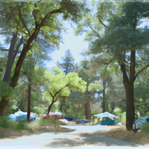
 Butte Meadows Campground
|
||
 Butte Meadows
|
||
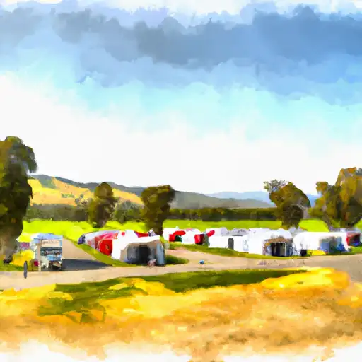
 Cherry Hill Campground
|
||
 Cherry Hill
|
||
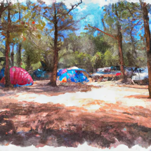 Elam Campground
|
||
 Elam
Elam
|
River Runs
-
 Deer Creek-Highway 32 Junction To Sec 26, T27N, R3E, West Of Deer Creek Crossing
-
 Elam Creek Campground To Deer Creek-Highway 32 Junction
-
 Sec Line Between 29/20, T28N, R3E To Sec Line Between 14/23, T27N, R2E, Just East Of Black Rock
-
 Sec Line Between 14/23, T27N, R2E To One Mile Downstream From Black Rock
-
 One-Half Mile Downstream From Hole-In-The-Ground To Sec Line Between 29/20 T28N, R3E, Below Big Bend
-
 Deer Creek Crossing To Just Below Confluence With Beaver Creek

