North Fork From Nf Boundary At Section Line Between 17/18, T28n, R1e. To Mcclure Place Paddle Report
Last Updated: 2026-02-07
Get the latest Paddle Report, Streamflow Levels, and Weather Forecast for North Fork From Nf Boundary At Section Line Between 17/18, T28n, R1e. To Mcclure Place in California. California Streamflow Levels and Weather Forecast
Summary
°F
°F
mph
Wind
%
Humidity
15-Day Weather Outlook
River Run Details
| Last Updated | 2026-02-07 |
| River Levels | 708 cfs (3.93 ft) |
| Percent of Normal | 43% |
| Status | |
| Class Level | None |
| Elevation | ft |
| Streamflow Discharge | cfs |
| Gauge Height | ft |
| Reporting Streamgage | USGS 11381500 |
5-Day Hourly Forecast Detail
Nearby Streamflow Levels
 Mill C Nr Los Molinos Ca
|
460cfs |
 Deer C Nr Vina Ca
|
490cfs |
 Sacramento R Ab Bend Bridge Nr Red Bluff Ca
|
11600cfs |
 Battle C Bl Coleman Fish Hatchery Nr Cottonwood Ca
|
528cfs |
 Cottonwood C Nr Cottonwood Ca
|
1650cfs |
 Cow C Nr Millville Ca
|
1140cfs |
River Runs
-
 North Fork From Nf Boundary At Section Line Between 17/18, T28N, R1E. To Mcclure Place
-
 South Fork From Antelope Campground To One-Quarter Mile Above North Fork Antelope Creek
-
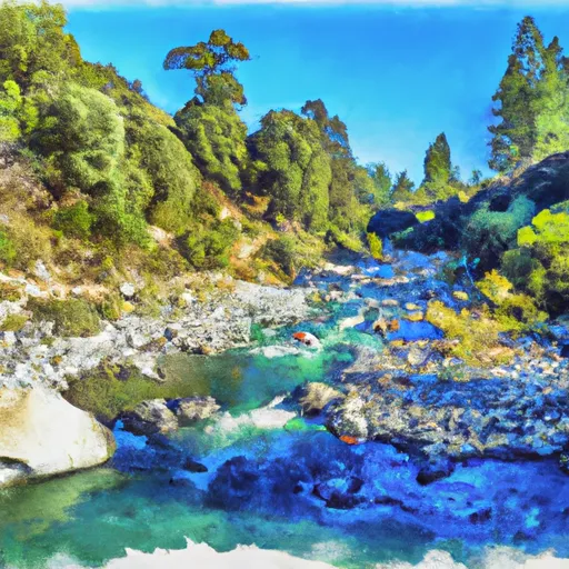 Mcclure Place (North Fork) To Nf Boundary At Payne Place (Dept. Of Fish And Game Land)
-
 Sec Line Between 14/23, T27N, R2E To One Mile Downstream From Black Rock
-
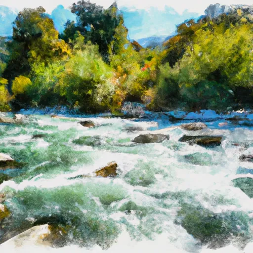 South Fork Battle Creek
-
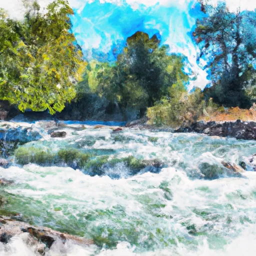 Mill Creek

