Summary
The ideal streamflow range for this segment is between 800-2000 cfs, as it provides Class III and IV rapids, making it a challenging run for experienced kayakers and rafters.
The segment mileage of this run is approximately six miles, with specific river rapids and obstacles that include Deer Creek Falls, The Slot, and Pinball. Deer Creek Falls is a Class IV rapid that requires precise maneuvering through a narrow channel, while The Slot is a Class III rapid that features a tight squeeze between two boulders. Pinball is another Class III rapid that features multiple boulders that require skillful navigation.
There are specific regulations to the area, including a permit requirement from the Bureau of Land Management for groups of 15 or more and a mandatory safety briefing before departing. Additionally, there are restrictions on camping along the riverbank and a pack-it-in, pack-it-out policy for all trash.
°F
°F
mph
Wind
%
Humidity
15-Day Weather Outlook
River Run Details
| Last Updated | 2026-01-26 |
| River Levels | 323 cfs (1.92 ft) |
| Percent of Normal | 93% |
| Status | |
| Class Level | iii-iv |
| Elevation | ft |
| Streamflow Discharge | cfs |
| Gauge Height | ft |
| Reporting Streamgage | USGS 11383500 |
5-Day Hourly Forecast Detail
Nearby Streamflow Levels
 Deer C Nr Vina Ca
|
231cfs |
 Mill C Nr Los Molinos Ca
|
245cfs |
 Butte C Nr Chico Ca
|
328cfs |
 Sacramento R Ab Bend Bridge Nr Red Bluff Ca
|
11900cfs |
 Battle C Bl Coleman Fish Hatchery Nr Cottonwood Ca
|
365cfs |
 Cottonwood C Nr Cottonwood Ca
|
454cfs |
Area Campgrounds
| Location | Reservations | Toilets |
|---|---|---|
 Butte Meadows Campground
|
||
 Butte Meadows
|
||
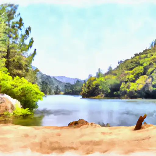 West Branch
|
||
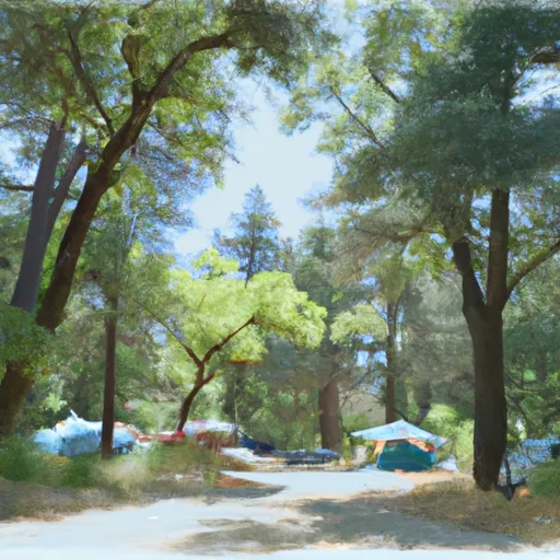 Cherry Hill Campground
|
||
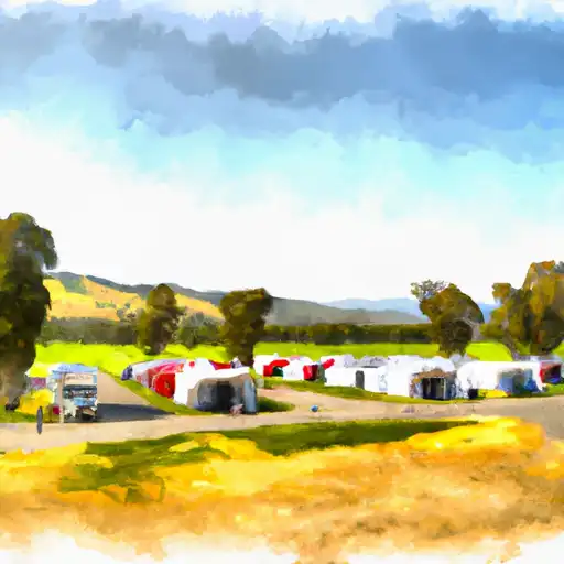 Cherry Hill
|
||
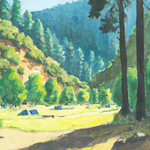 Forks of Butte Creek
|
River Runs
-
 Deer Creek Crossing To Just Below Confluence With Beaver Creek
-
 Just Below Confluence With Beaver Creek To Sec 35, T26N, R2E, Ishi Wilderness
-
 Big Chico Creek
-
 Sec Line Between 14/23, T27N, R2E To One Mile Downstream From Black Rock
-
 Sec Line Between 29/20, T28N, R3E To Sec Line Between 14/23, T27N, R2E, Just East Of Black Rock
-
 Deer Creek-Highway 32 Junction To Sec 26, T27N, R3E, West Of Deer Creek Crossing

