2026-02-21T10:00:00-08:00
* WHAT...Very cold temperatures in the teens to low 20s expected, with isolated areas in the single digits above 7000 feet. * WHERE...West Slope Northern Sierra Nevada and Western Plumas County/Lassen Park. * WHEN...From 10 PM this evening to 10 AM PST Saturday. * IMPACTS...Very cold temperatures can lead to hypothermia and frostbite with prolonged exposure. This will especially impact those without power from the recent storm.
Summary
The East Branch Nelson Creek Headwaters to Confluence with Nelson Creek segment is approximately 12 miles long and has a class rating of III/IV. The ideal streamflow range for this segment is between 400-800 cubic feet per second (cfs), but it can be run up to 1,200 cfs.
The Whitewater River Run has several notable rapids and obstacles. One of the most challenging is the "S-Turn" rapid, which requires precise maneuvering to navigate through the narrow channel. Another notable rapid is "Headquarters," which features a large boulder in the middle of the river that creates a significant drop.
To ensure the safety of all visitors, the California Department of Parks and Recreation has established specific regulations for the area. All visitors must wear a personal flotation device (PFD) at all times while on the water. Additionally, there are restrictions on the use of alcohol and drugs while on the river.
In summary, the Whitewater River Run in California offers an exciting adventure for experienced kayakers and rafters. With a class rating of III/IV and several challenging rapids, visitors should be prepared for a thrilling ride. It is important to follow all regulations and safety guidelines to ensure a safe and enjoyable experience on the water.
°F
°F
mph
Wind
%
Humidity
15-Day Weather Outlook
River Run Details
| Last Updated | 2026-02-07 |
| River Levels | 205 cfs (6.23 ft) |
| Percent of Normal | 16% |
| Status | |
| Class Level | None |
| Elevation | ft |
| Streamflow Discharge | cfs |
| Gauge Height | ft |
| Reporting Streamgage | USGS 11401920 |
5-Day Hourly Forecast Detail
Nearby Streamflow Levels
Area Campgrounds
| Location | Reservations | Toilets |
|---|---|---|
 Ross Campground
|
||
 Plumas - Eureka State Park
|
||
 Red Feather Campground
|
||
 Running Deer Campground
|
||
 Little Beaver Campground
|
||
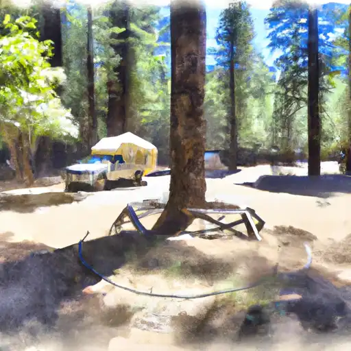 Running Deer
|
River Runs
-
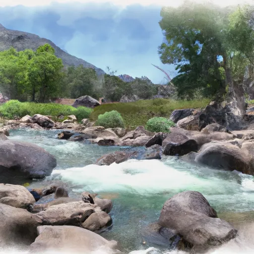 East Branch Nelson Creek Headwaters To Confluence With Nelson Creek
-
 West Branch Nelson Creek Headwaters To Confluence With Nelson Creek
-
 Confluence With East And West Branches Of Nelson Creek To Confluence With Middle Fork Feather Wsr
-
 Headwaters To Confluence With Nelson Creek
-
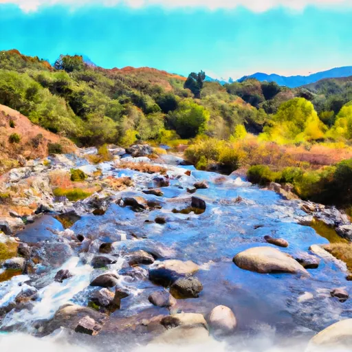 Headwaters At West Branch Canyon Creek (Sec 26, T22N, R10E) To Confluence With Canyon Creek
-
 Headwaters Of North Fork Canyon Creek (Sec 6, T21N, R11E) To Confluence With East Fork Canyon Creek


