Confluence With East And West Branches Of Nelson Creek To Confluence With Middle Fork Feather Wsr Paddle Report
Last Updated: 2026-02-07
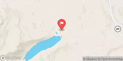
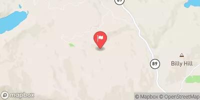
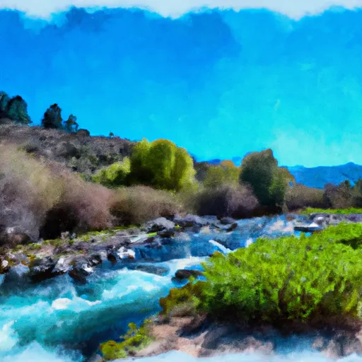
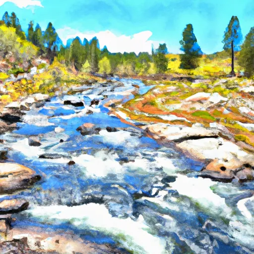
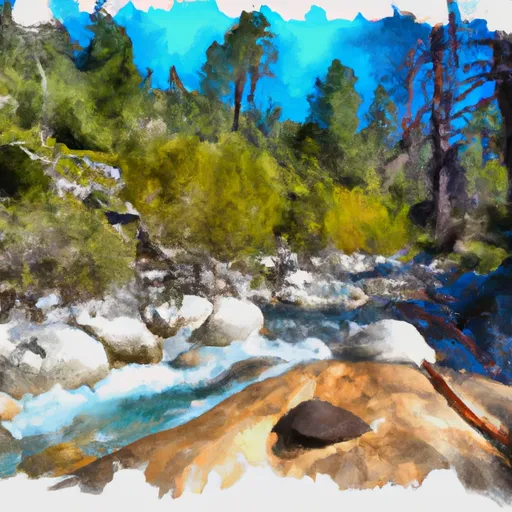
The Whitewater River Run Confluence with East and West Branches of Nelson Creek to Confluence with Middle Fork Feather WSR in California is a popular destination for rafting enthusiasts.
Summary
The ideal streamflow range for this river run is between 1,500 and 4,000 cfs. The river is rated as Class III-IV, making it suitable for intermediate to advanced rafters.
The segment mileage for this river run is approximately 16 miles. Some of the notable rapids and obstacles on this run include “Pinball,” “China Slide,” and “The Big Bend.” The Pinball rapid is a technical stretch that requires precise maneuvering, while China Slide is a steep drop that requires speed and momentum. The Big Bend is a section of the river where the water flows fast and turbulent.
There are specific regulations that visitors to this area must follow. The use of motorized watercraft is prohibited, and visitors must obtain a permit to use the river. Additionally, visitors must follow Leave No Trace principles and pack out all trash. Campfires are not allowed in this area, and visitors must obtain a fire permit for propane stoves.
°F
°F
mph
Wind
%
Humidity
15-Day Weather Outlook
River Run Details
| Last Updated | 2026-02-07 |
| River Levels | 205 cfs (6.23 ft) |
| Percent of Normal | 16% |
| Status | |
| Class Level | iii-iv |
| Elevation | ft |
| Streamflow Discharge | cfs |
| Gauge Height | ft |
| Reporting Streamgage | USGS 11401920 |
5-Day Hourly Forecast Detail
Nearby Streamflow Levels
Area Campgrounds
| Location | Reservations | Toilets |
|---|---|---|
 Ross Campground
|
||
 Cleghorn Bar
|
||
 Red Feather Campground
|
||
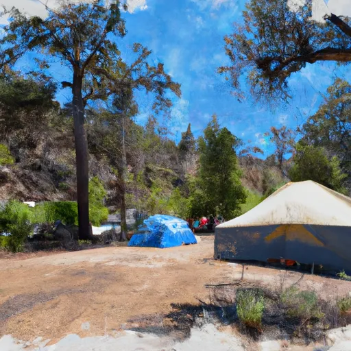 Running Deer Campground
|
||
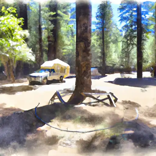 Running Deer
|
||
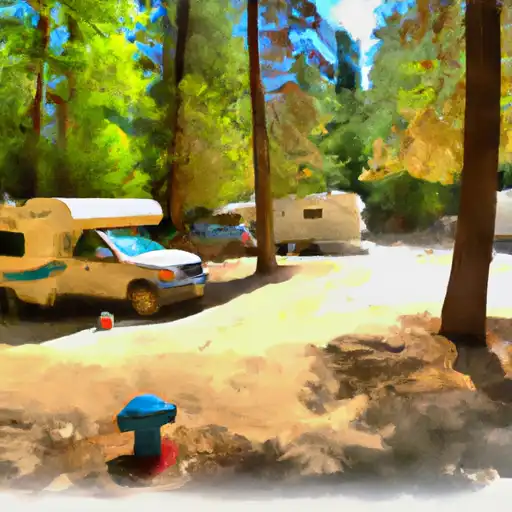 Plumas - Eureka State Park
|
River Runs
-
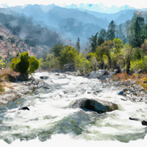 Confluence With East And West Branches Of Nelson Creek To Confluence With Middle Fork Feather Wsr
-
 Headwaters To Confluence With Nelson Creek
-
 West Branch Nelson Creek Headwaters To Confluence With Nelson Creek
-
 East Branch Nelson Creek Headwaters To Confluence With Nelson Creek
-
 Headwaters To Chicago Ravine
-
 Headwaters To Middle Fork Feather Wsr


