Summary
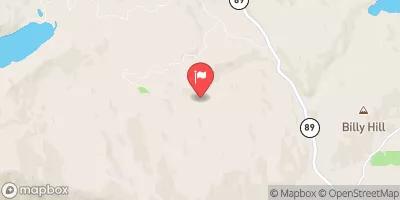
The ideal streamflow range for this segment is between 400 and 800 cubic feet per second (cfs) during the spring and early summer months. This segment is rated as a class III to IV, which means that it has a moderate to difficult level of difficulty with moderate to high risk. The segment covers a distance of approximately 12 miles and is known for its fast-paced rapids and obstacles, including the Shotgun, Pinball, and Sledgehammer.
There are specific regulations for the area, including the requirement of a permit to access the river. The permit is issued by the Bureau of Land Management and can be obtained online or at designated locations. Additionally, all participants must wear appropriate safety gear, including a helmet and a personal flotation device. The river is considered a protected area, and visitors are expected to respect and preserve the natural environment.
°F
°F
mph
Wind
%
Humidity
15-Day Weather Outlook
River Run Details
| Last Updated | 2026-01-26 |
| River Levels | 205 cfs (6.23 ft) |
| Percent of Normal | 72% |
| Status | |
| Class Level | iii |
| Elevation | ft |
| Streamflow Discharge | cfs |
| Gauge Height | ft |
| Reporting Streamgage | USGS 11401920 |
5-Day Hourly Forecast Detail
Nearby Streamflow Levels
Area Campgrounds
| Location | Reservations | Toilets |
|---|---|---|
 Cleghorn Bar
|
||
 Red Feather Campground
|
||
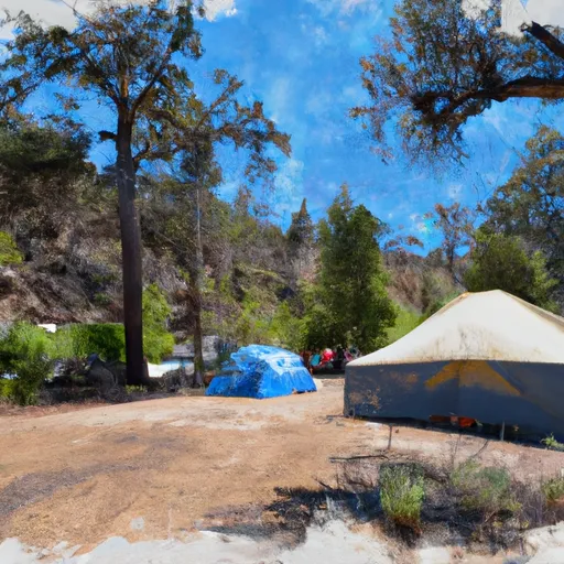 Running Deer Campground
|
||
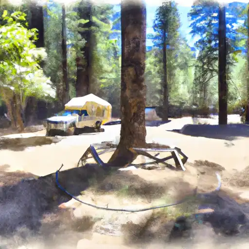 Running Deer
|
||
 Red Feather
|
||
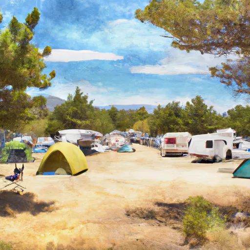 Tooms RV Campground
|
River Runs
-
 Headwaters To Confluence With Nelson Creek
-
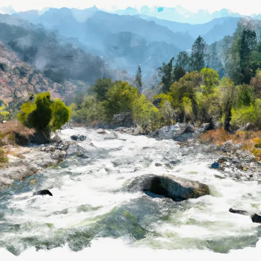 Confluence With East And West Branches Of Nelson Creek To Confluence With Middle Fork Feather Wsr
-
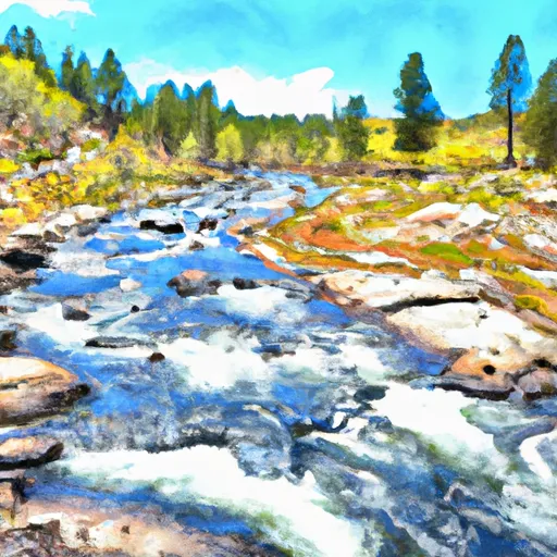 West Branch Nelson Creek Headwaters To Confluence With Nelson Creek
-
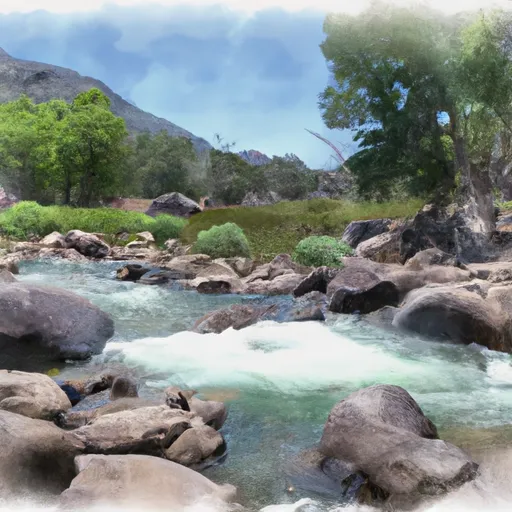 East Branch Nelson Creek Headwaters To Confluence With Nelson Creek
-
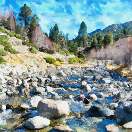 Headwaters To Chicago Ravine
-
 Headwaters To Middle Fork Feather Wsr


