Summary
The ideal streamflow range for this run is between 500 to 1000 cfs. The class rating for this section of the river is class IV-V, which means the rapids are difficult and require advanced skills to navigate. The segment mileage for this stretch is approximately 7.5 miles.
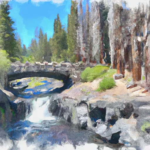
There are several specific river rapids and obstacles to be aware of when navigating this run. The first obstacle is the steep and technical Rainbow Falls, which requires precise navigation and expert maneuvering. After Rainbow Falls, the river continues with a series of class IV and V rapids, including Rapids of No Return, Hell's Kitchen, and the Infamous Chili Bar. Each of these rapids presents its own challenges and requires advanced skills to navigate.
There are specific regulations in place for this area to ensure the safety of all visitors. It is mandatory to wear a personal flotation device (PFD) at all times while on the river. Additionally, all boats must be equipped with a safety rope, whistle, and a throwable device. It is also important to note that camping and fires are not permitted in the area.
In conclusion, the Whitewater River run from Rainbow Falls to Confluence with North Fork San Joaquin River in California is an exciting and challenging adventure for experienced kayakers and rafters. It is important to be aware of the ideal streamflow range, class rating, segment mileage, specific river rapids and obstacles, and regulations to the area to ensure a safe and enjoyable experience.
°F
°F
mph
Wind
%
Humidity
15-Day Weather Outlook
River Run Details
| Last Updated | 2026-02-07 |
| River Levels | 886 cfs (5.98 ft) |
| Percent of Normal | 132% |
| Status | |
| Class Level | iv-v |
| Elevation | ft |
| Streamflow Discharge | cfs |
| Gauge Height | ft |
| Reporting Streamgage | USGS 11224000 |
5-Day Hourly Forecast Detail
Nearby Streamflow Levels
Area Campgrounds
| Location | Reservations | Toilets |
|---|---|---|
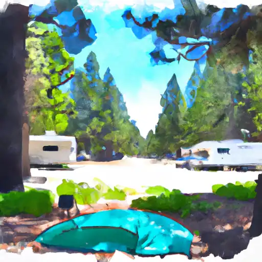 Clover Meadow
|
||
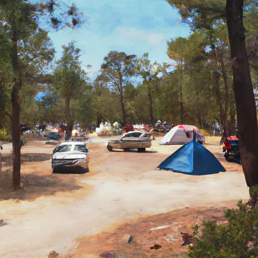 Bowler Group Campground
|
||
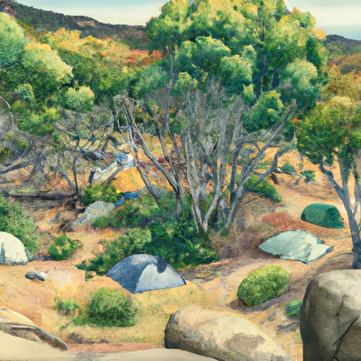 Bowler Group Camp
|
||
 Reds Meadow Campground
|
||
 Reds Meadow Campground (Seasonal)
|
||
 Reds Meadow
|
River Runs
-
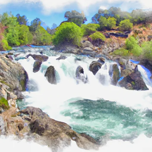 Rainbow Falls To Confluence With North Fork San Joaquin River
-
 Cora Creek To Confluence With San Joaquin River
-
 Hemlock Crossing To Confluence With Cora Creek
-
 Rainbow Falls To National Monument Boundary
-
 Headwaters In Sec 8, T3S, R25 E To Hemlock Crossing
-
 Soda Springs Footbridge In Devils Postpile National Monument To Rainbow Falls


 Fern Lake
 Baby Lake
 Vandeburg Lake
 Jackass Lakes
 Lillian Lake