Summary
Ideal streamflow range is between 300-1000 cfs. The river begins with a mellow Class II run before reaching the first major obstacle, the Narrows, which consists of a Class V rapid that requires expert kayaking skills. The river then continues with Class III-IV rapids, including The Boulders, Hurricane Falls, and Meatgrinder. The final stretch of the run features the Class V Rapid - Widowmaker.
To protect the environment and preserve the wilderness experience, the use of motorized boats, swimming, and camping are prohibited in the area. Additionally, visitors are encouraged to pack out all trash and respect wildlife in the surrounding area.
°F
°F
mph
Wind
%
Humidity
15-Day Weather Outlook
River Run Details
| Last Updated | 2026-02-07 |
| River Levels | 235 cfs (2.76 ft) |
| Percent of Normal | 83% |
| Status | |
| Class Level | iii-v |
| Elevation | ft |
| Streamflow Discharge | cfs |
| Gauge Height | ft |
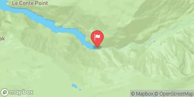
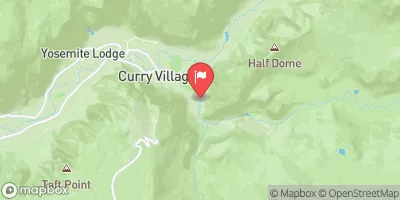
| Reporting Streamgage | USGS 10289500 |


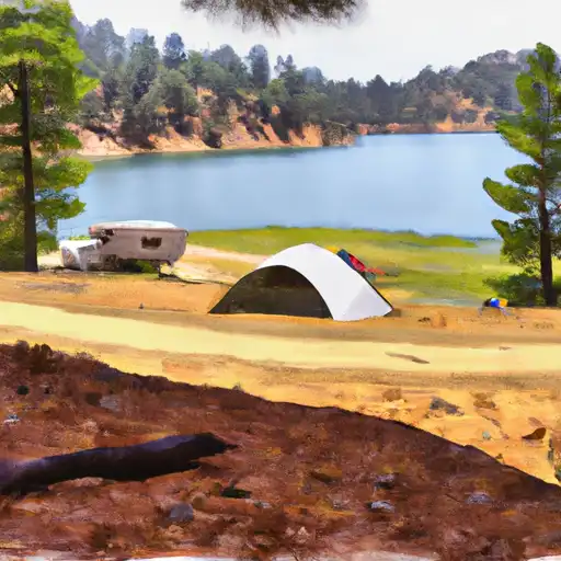 Trumbull Lake
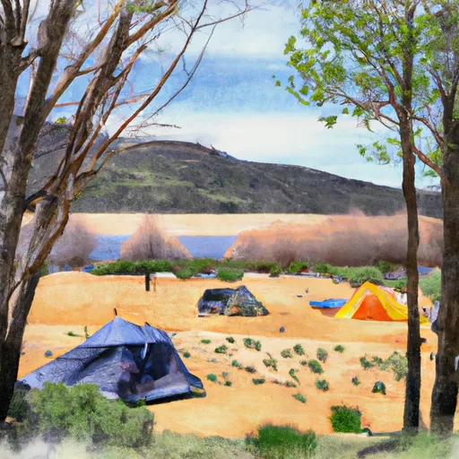 Trumbull Lake Campground
 Upper Virginia Creek Primitive Campground
 Lundy Canyon Campground
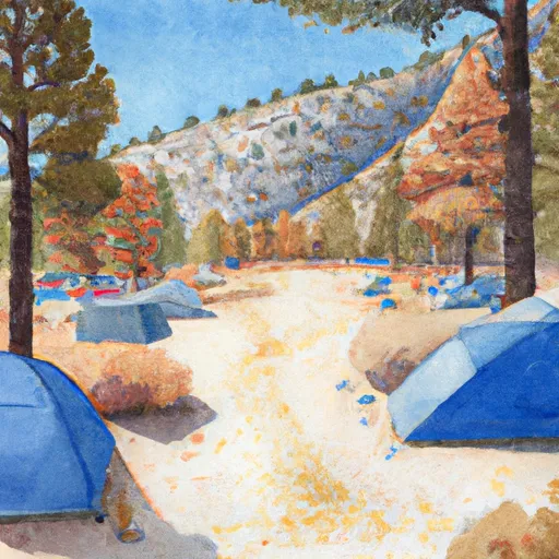 Saddlebag Lake Campground
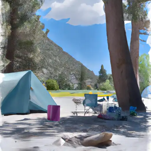 Lundy Lake Park
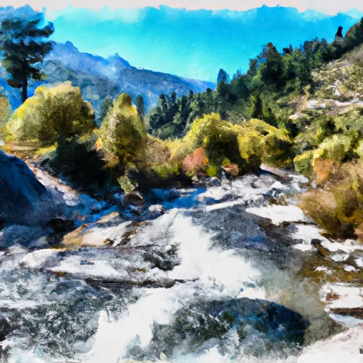 Headwaters To Wilderness Boundary
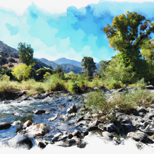 Wilderness Boundary To Private Property
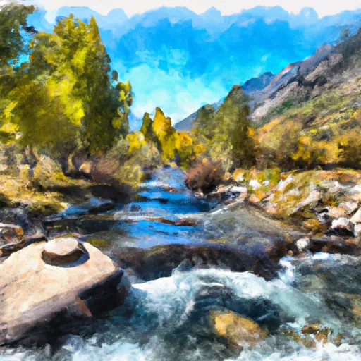 Private Property To Lundy Lake
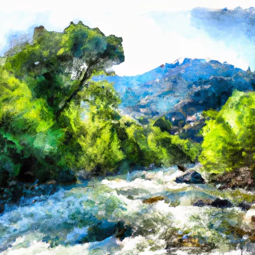 Wilderness Boundary To Confluence With Mill Creek
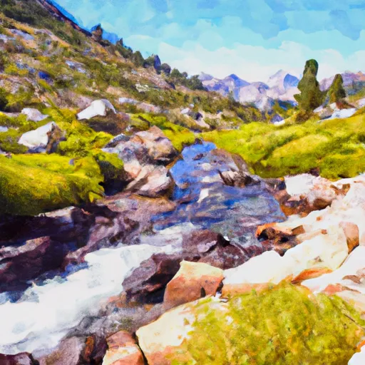 Headwaters To Hoover Wilderness Boundary
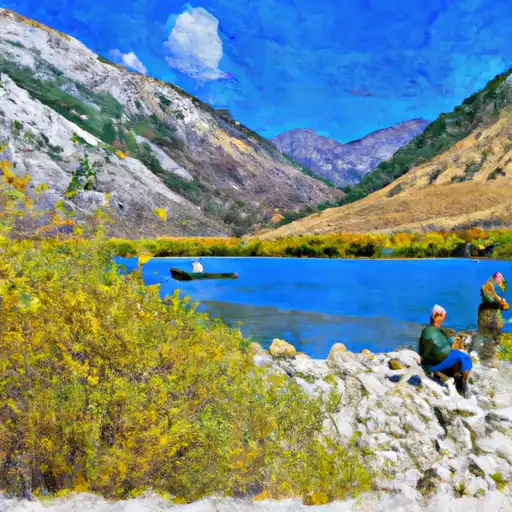 Lundy Lake
 Alpine Lake
 Finger Lake
 Green Creek
 Avalanche Lake