Summary
The ideal streamflow range is between 400-800 cfs, which usually occurs from late winter through early spring. The run is rated as a Class III-IV, with some rapids reaching Class V during high flows. The segment mileage is approximately 7.5 miles.
Some specific rapids and obstacles to watch out for include "Drop Out," a steep Class IV drop with a tight slot entrance, and "Finger Rock," a technical Class IV rapid with a sharp right turn. "Hell's Corner" is a Class V rapid with a large boulder in the center that requires precise maneuvers to avoid.
There are certain regulations to be aware of when boating in this area. All boaters must obtain a permit from the Bureau of Land Management, and the maximum group size is limited to 15 people. Camping is only allowed in designated sites, and fires are prohibited. Additionally, the use of glass containers is not allowed on the river.
°F
°F
mph
Wind
%
Humidity
15-Day Weather Outlook
River Run Details
| Last Updated | 2026-02-07 |
| River Levels | 235 cfs (2.76 ft) |
| Percent of Normal | 83% |
| Status | |
| Class Level | iii-iv |
| Elevation | ft |
| Streamflow Discharge | cfs |
| Gauge Height | ft |
| Reporting Streamgage | USGS 10289500 |


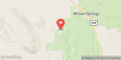
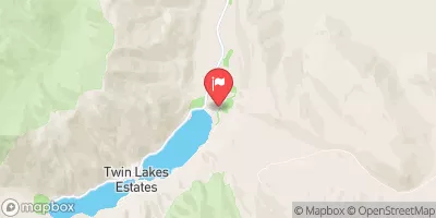
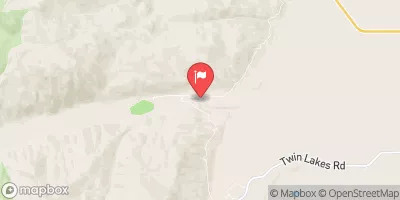
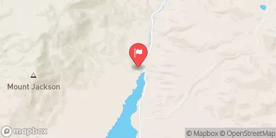
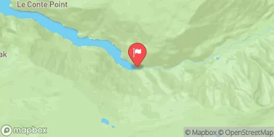
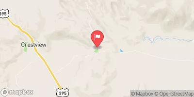
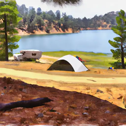 Trumbull Lake
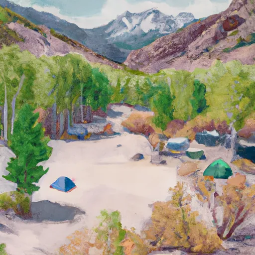 Lundy Canyon Campground
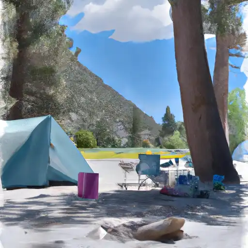 Lundy Lake Park
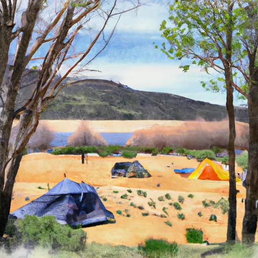 Trumbull Lake Campground
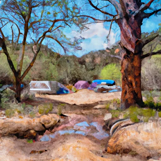 Upper Virginia Creek Primitive Campground
 Lower Virginia Creek Primitive Campground
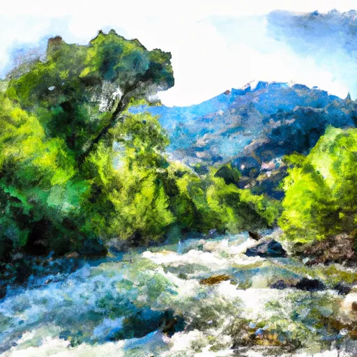 Wilderness Boundary To Confluence With Mill Creek
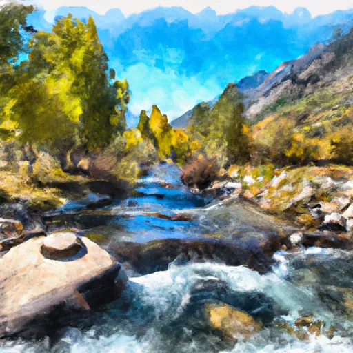 Private Property To Lundy Lake
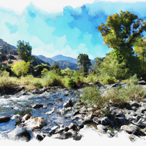 Wilderness Boundary To Private Property
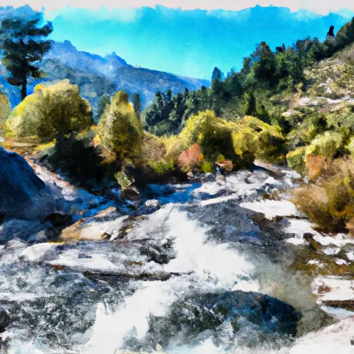 Headwaters To Wilderness Boundary
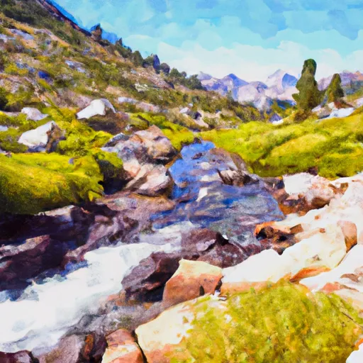 Headwaters To Hoover Wilderness Boundary
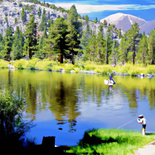 Virginia Lakes
 Alpine Lake
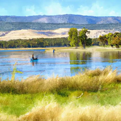 Finger Lake
 Green Creek
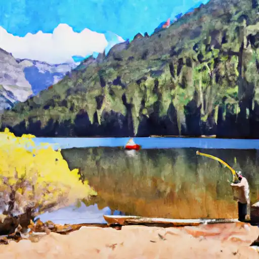 Avalanche Lake