Summary
The ideal streamflow range for this section of the river is between 700-2000 cfs, which typically occurs from May through June. The class rating for this stretch of river ranges from class III to IV, offering exciting rapids and challenging obstacles.
The segment mileage for this river run is approximately 6 miles, starting at the NF Boundary and ending at the Confluence with the North Fork Feather River. Some of the specific river rapids and obstacles in this section include Devil's Elbow, Zeta, and Carnage.
It is important to note that there are specific regulations and guidelines for this area, including the need for a permit from the Plumas National Forest, as well as restrictions on group size and camping. Additionally, visitors are required to pack out all trash and human waste to help preserve the natural beauty of the area.
°F
°F
mph
Wind
%
Humidity
15-Day Weather Outlook
River Run Details
| Last Updated | 2026-02-07 |
| River Levels | 442 cfs (3.23 ft) |
| Percent of Normal | 33% |
| Status | |
| Class Level | iii |
| Elevation | ft |
| Streamflow Discharge | cfs |
| Gauge Height | ft |
| Reporting Streamgage | USGS 11402000 |
5-Day Hourly Forecast Detail
Nearby Streamflow Levels
 Spanish C Ab Blackhawk C At Keddie Ca
|
202cfs |
 Spanish C A Quincy Ca
|
108cfs |
 Butte C Nr Chico Ca
|
612cfs |
 Deer C Nr Vina Ca
|
490cfs |
 Mill C Nr Los Molinos Ca
|
460cfs |
 N Yuba R Bl Goodyears Bar Ca
|
480cfs |
Area Campgrounds
| Location | Reservations | Toilets |
|---|---|---|
 Caribou Crossroads
|
||
 Gansner Bar
|
||
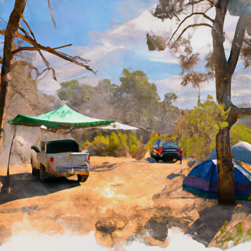 Gansner Bar Campground
|
||
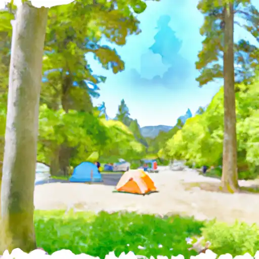 Queen Lily
|
||
 Philbrook - Feather River
|
||
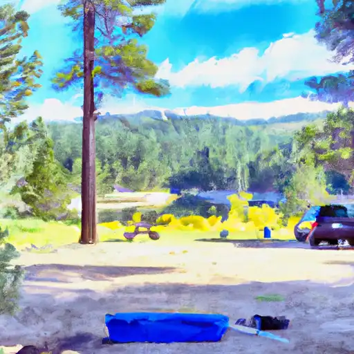 Lower Bucks
|


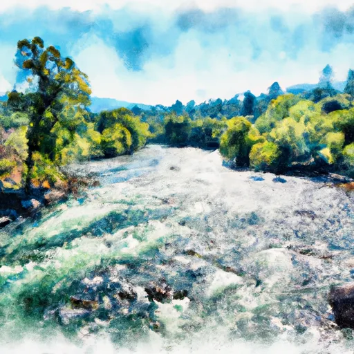 Nf Boundary To Confluence With North Fork Feather River
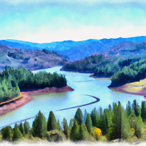 Caribou Reservoir To Beldon
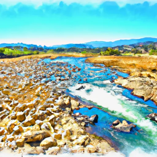 Nf Boundary To Confluence With Yellow Creek
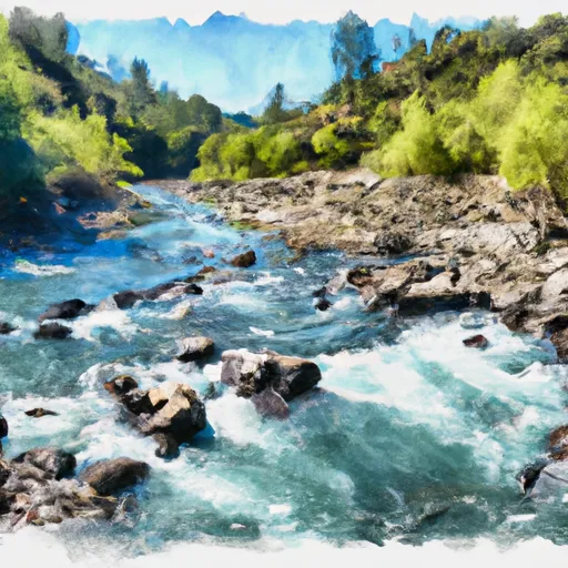 Confluence Of Spanish Creek And Indian Creek To Confluence With North Fork Feather River