2026-02-18T22:00:00-08:00
* WHAT...Heavy snow expected. Accumulation amounts range from up to 1 foot 1500 to 2500 feet, 1 to 2 feet at 2500 to 3500 feet and 4 to 8 feet at higher elevations. Wind gusts of 45 to 55mph expected. * WHERE...West Slope Northern Sierra Nevada and Western Plumas County/Lassen Park including Interstate 80 and Highway 50, northern Shasta County including portions of Interstate 5, the Coastal Range, and foothill regions of the Sierra Nevada. * WHEN...From 10 PM this evening to 10 PM PST Wednesday. * IMPACTS...Dangerous to near impossible travel conditions with chain controls and road closures. Low visibility due to a combination of wind and heavy snow. * ADDITIONAL DETAILS...Snow levels will be around 4500-5500 feet tonight through Monday. 2500 to 3500 feet snow levels by Monday night and 1500 to 2500 feet Tuesday into Wednesday. Potential to see snow levels as low as 750 feet for areas along the Coastal Range, across Shasta County including Shasta Lake, and in the southern Cascades.
Summary
The ideal streamflow range for this section of the river is between 1,200 to 2,000 cubic feet per second (cfs), although it can be run at flows up to 4,000 cfs. The class rating for this section of the river is class IV-V, making it a challenging and technical run. The segment mileage is approximately 16 miles and includes several notable rapids and obstacles, such as Hell Hole, Rams Head, and Pinball.
There are specific regulations to the area that visitors must abide by, including the requirement to wear a personal flotation device (PFD) at all times while on the river. Additionally, visitors must follow all Leave No Trace principles and be respectful of the natural environment. It is also important to note that permits are required to access this section of the river and may be limited during peak season.
In summary, the Whitewater River Run Confluence with Middle Fork Tuolumne River to Confluence with Tuolumne River in California is a challenging and technical run with an ideal streamflow range of 1,200 to 2,000 cfs. The class rating is IV-V, and the segment mileage is approximately 16 miles. Visitors must follow specific regulations and obtain permits to access the area.
°F
°F
mph
Wind
%
Humidity
15-Day Weather Outlook
River Run Details
| Last Updated | 2026-02-07 |
| River Levels | 9900 cfs (10.32 ft) |
| Percent of Normal | 191% |
| Status | |
| Class Level | iv-v |
| Elevation | ft |
| Streamflow Discharge | cfs |
| Gauge Height | ft |
| Reporting Streamgage | USGS 11276900 |
5-Day Hourly Forecast Detail
Nearby Streamflow Levels
Area Campgrounds
| Location | Reservations | Toilets |
|---|---|---|
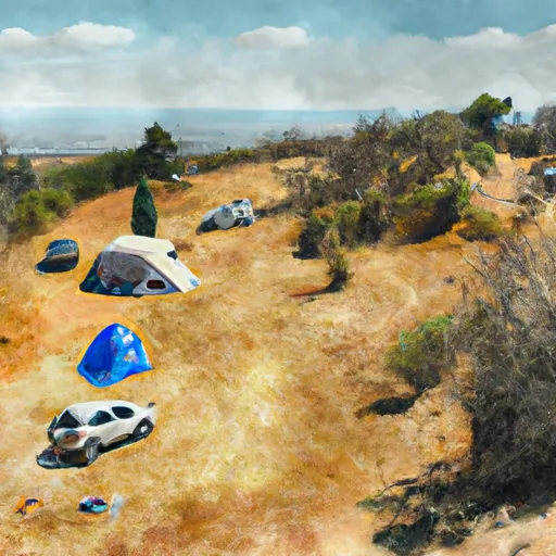 Lumsden
|
||
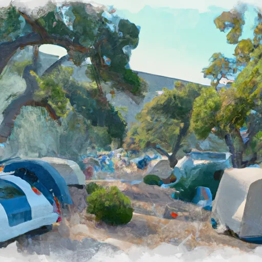 Lumsden Campground
|
||
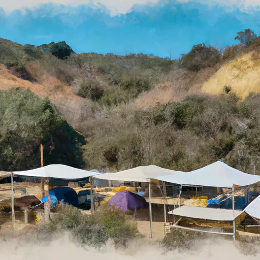 Lumsden Bridge Campground
|
||
 Lumsden Bridge
|
||
 Lost Claim
|
||
 Lost Claim Campground
|


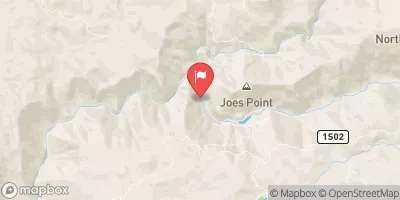
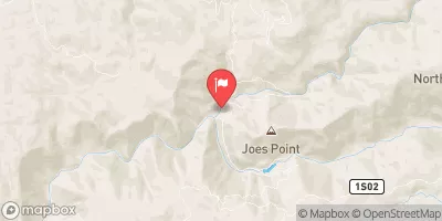

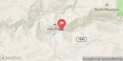
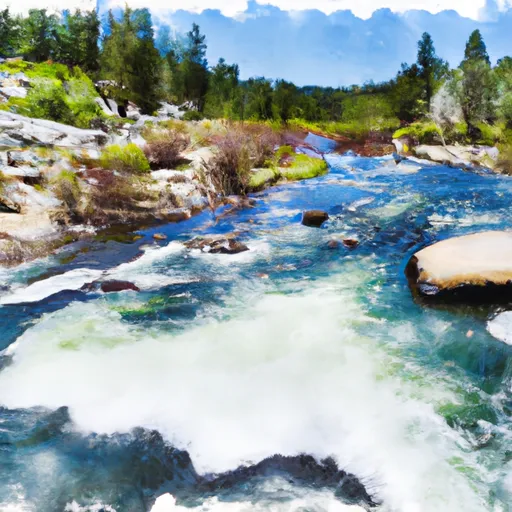 Confluence With Middle Fork Tuolumne River To Confluence With Tuolumne River
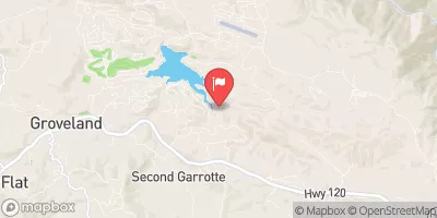
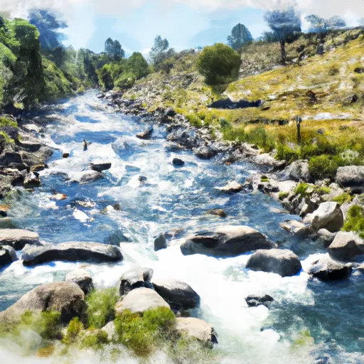 Clavey River From Cottonwood Road To Confluence With Tuolumne
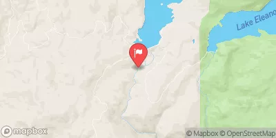
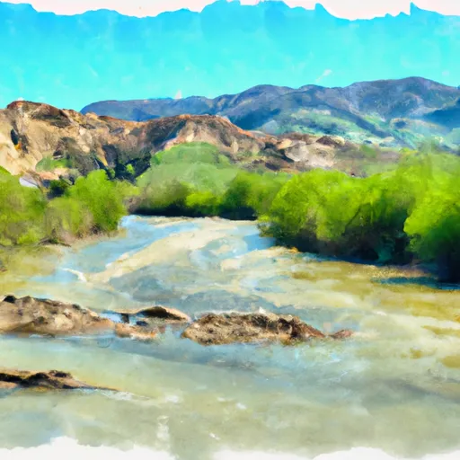 Clavey River From 3N01 To Cottonwood Road