Summary
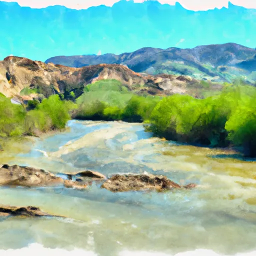
The ideal streamflow range for this river is between 400-800 cfs. The Clavey River is rated as a Class IV-V river, making it suitable for experienced kayakers or rafters. The river run covers a distance of approximately 7 miles and is known for its technical rapids and obstacles.
The Clavey River boasts several challenging rapids, including the Rock Garden, Pinball, and the Clavey Falls. The Rock Garden is a series of large boulders that create a challenging obstacle course for kayakers and rafters. Pinball is a narrow section of the river with many rocks, creating a fast-paced, technical run. The Clavey Falls is a Class V rapid with a steep drop and a powerful hydraulic that can easily capsize a raft.
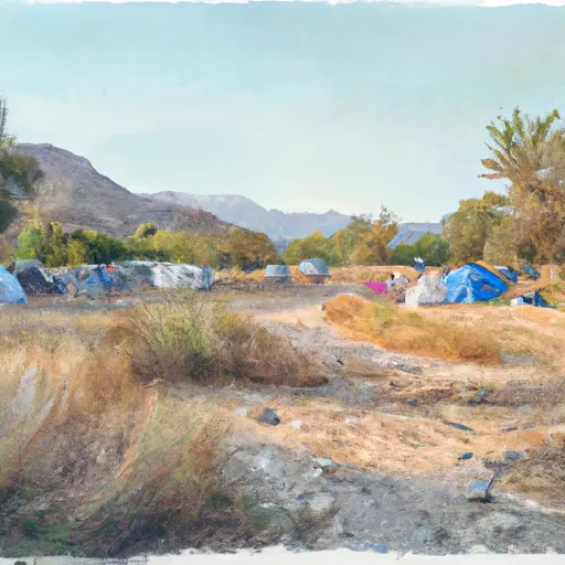
There are specific regulations that apply to the Clavey River. The river is part of the Stanislaus National Forest, and a permit is required to access the river. Additionally, visitors must follow the Leave No Trace principles and pack out all trash and waste. Camping is allowed in designated areas, and fires must be contained within fire rings.
In conclusion, the Clavey River is a challenging and exciting whitewater river run in California. With its ideal streamflow range, Class IV-V rating, and challenging rapids, it is a popular destination for experienced kayakers and rafters. Visitors must also follow specific regulations and Leave No Trace principles to preserve the natural beauty of the area.
°F
°F
mph
Wind
%
Humidity
15-Day Weather Outlook
River Run Details
| Last Updated | 2026-02-07 |
| River Levels | 2 cfs (2.1 ft) |
| Percent of Normal | 7% |
| Status | |
| Class Level | iv-v |
| Elevation | ft |
| Streamflow Discharge | cfs |
| Gauge Height | ft |
| Reporting Streamgage | USGS 11284400 |
5-Day Hourly Forecast Detail
Nearby Streamflow Levels
Area Campgrounds
| Location | Reservations | Toilets |
|---|---|---|
 Pines Group Campground
|
||
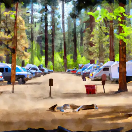 The Pines
|
||
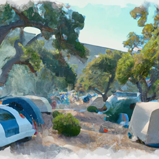 Lumsden Campground
|
||
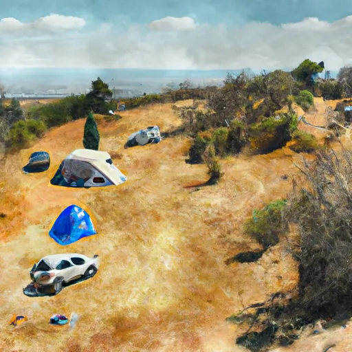 Lumsden
|
||
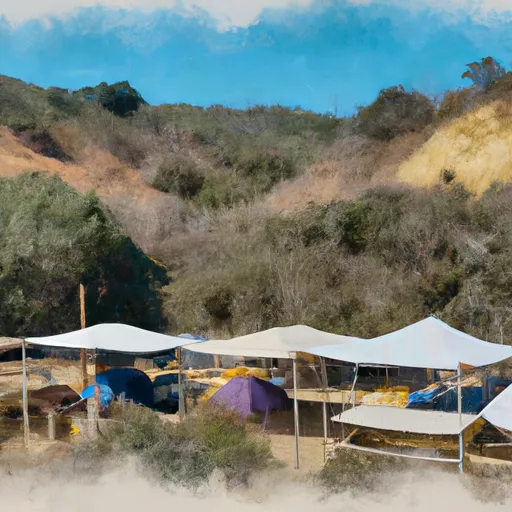 Lumsden Bridge Campground
|
||
 Lost Claim Campground
|



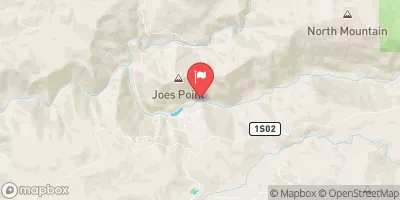
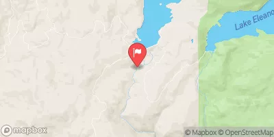
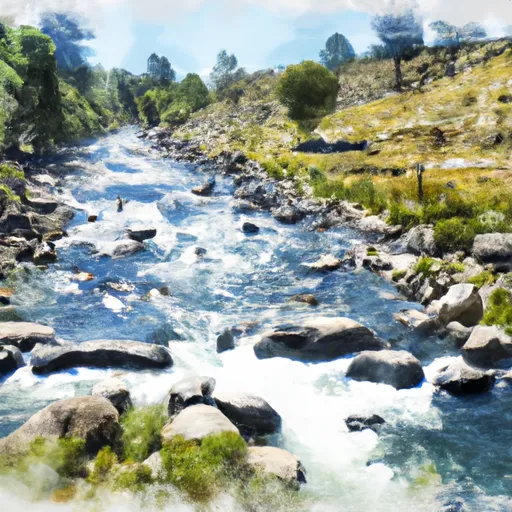 Clavey River From Cottonwood Road To Confluence With Tuolumne
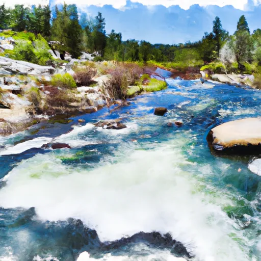 Confluence With Middle Fork Tuolumne River To Confluence With Tuolumne River
 Clavey River From 3N01 To Cottonwood Road