Summary
The ideal streamflow range for this river is between 300 and 1,000 cubic feet per second (cfs), with the best time for rafting being in the spring and early summer months.
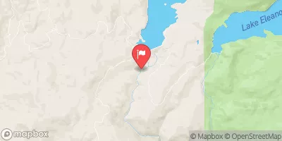
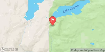
The Clavey River is rated as a class IV-V whitewater river, meaning that it is best suited for experienced paddlers. The segment mileage of this section of the river is approximately 6.6 miles, running from 3N01 to Cottonwood Road.
There are several notable rapids and obstacles along this stretch of the river, including Clavey Falls, a class V rapid with a steep drop that requires precise maneuvering. Other challenging rapids include Lower Clavey Falls, Hell’s Kitchen, and Powerhouse.
It is important to note that there are specific regulations in place for this area. Permits are required for all overnight trips, and visitors are required to practice Leave No Trace principles to minimize impact on the environment.
Overall, the Clavey River is a challenging and exciting whitewater river run that is best suited for experienced paddlers. It is important to thoroughly research the river and take appropriate safety precautions before attempting this run.
°F
°F
mph
Wind
%
Humidity
15-Day Weather Outlook
River Run Details
| Last Updated | 2026-02-07 |
| River Levels | 3360 cfs (11.36 ft) |
| Percent of Normal | 64% |
| Status | |
| Class Level | iv-v |
| Elevation | ft |
| Streamflow Discharge | cfs |
| Gauge Height | ft |
| Reporting Streamgage | USGS 11278400 |
5-Day Hourly Forecast Detail
Nearby Streamflow Levels
Area Campgrounds
| Location | Reservations | Toilets |
|---|---|---|
 River Ranch
|
||
 Hacienda
|
||
 River Ranch Campground
|
||
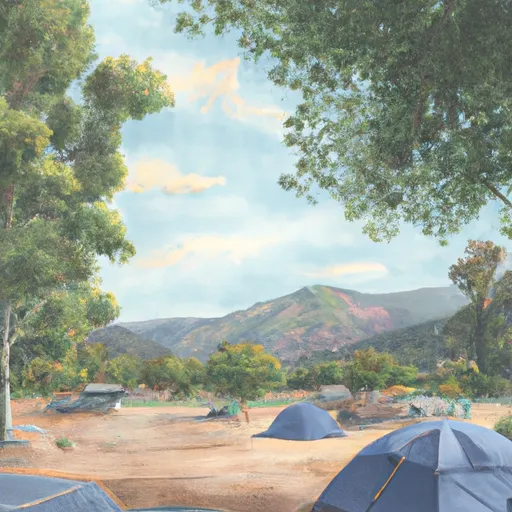 Cherry Valley Campground
|
||
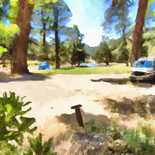 Hull Creek
|
||
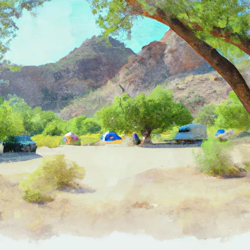 Hull Creek Campground
|
River Runs
-
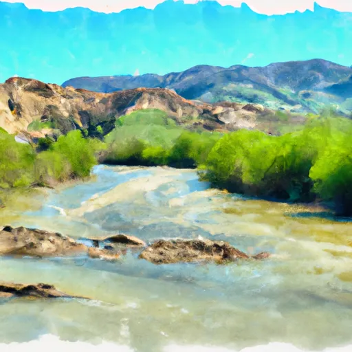 Clavey River From 3N01 To Cottonwood Road
-
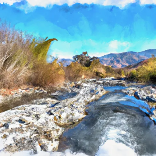 Clavey River At Confluence Of Bell And Lily Creeks To 3N01
-
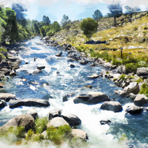 Clavey River From Cottonwood Road To Confluence With Tuolumne
-
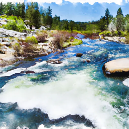 Confluence With Middle Fork Tuolumne River To Confluence With Tuolumne River
-
 One-Tenth Mile Downstream Of Coffin Hollow To Confluence With Bell Creek And Clavey River
-
 0.15 Mile Downstream From Road 4N26B To Confluence With Lilly Creek


