Summary
The ideal streamflow range for this run is between 300 and 1,000 cubic feet per second (cfs), which typically occurs during the spring and early summer months.
This section of the Whitewater River is rated as Class III-IV, with several rapids and obstacles to navigate. Some of the most notable rapids include Pinball, which features a series of boulder drops, and S-turns, which has several narrow and technical sections.
The overall segment mileage for this run is approximately 7.5 miles, and it typically takes around 3-4 hours to complete. While there are no specific regulations pertaining to this section of the river, it is important to note that all boaters must wear a personal flotation device (PFD) and follow Leave No Trace principles to minimize environmental impact.
°F
°F
mph
Wind
%
Humidity
15-Day Weather Outlook
River Run Details
| Last Updated | 2026-02-07 |
| River Levels | 43 cfs (3.39 ft) |
| Percent of Normal | 88% |
| Status | |
| Class Level | iii-iv |
| Elevation | ft |
| Streamflow Discharge | cfs |
| Gauge Height | ft |
| Reporting Streamgage | USGS 11203580 |
5-Day Hourly Forecast Detail
Nearby Streamflow Levels
Area Campgrounds
| Location | Reservations | Toilets |
|---|---|---|
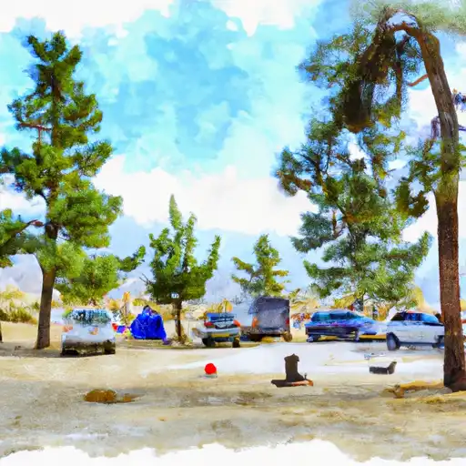 Lone Pine
|
||
 Whitney Portal
|
||
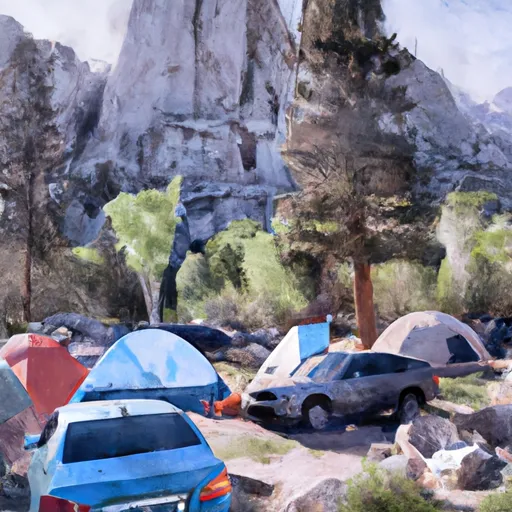 Whitney Portal Campground
|
||
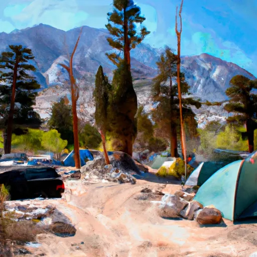 Whitney Portal Group Campground
|
||
 Ravine Campground
|
||
 Mt. Whitney Trailhead Campground
|


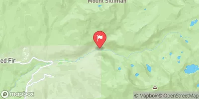
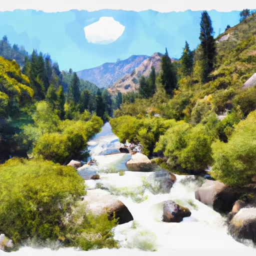 Wilderness Boundary To Nf Boundary
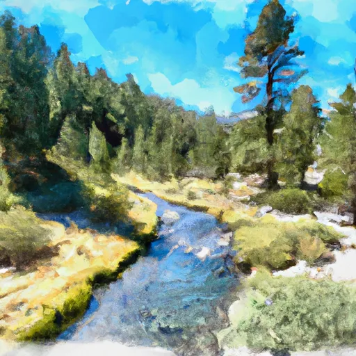 Tributary Headwaters To Wilderness Boundary
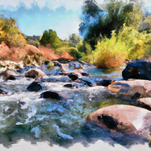 George Creek
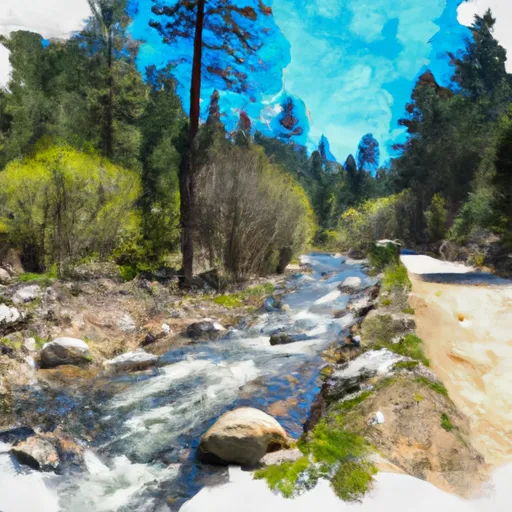 Headwaters To Forest Road 16S02
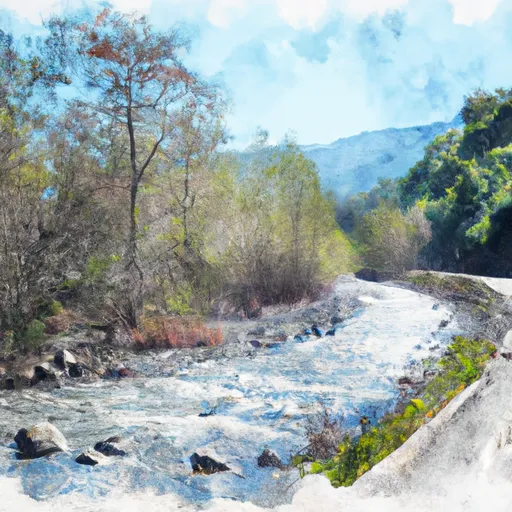 Forest Road 16So2 To La Dept. Of Water And Power Property
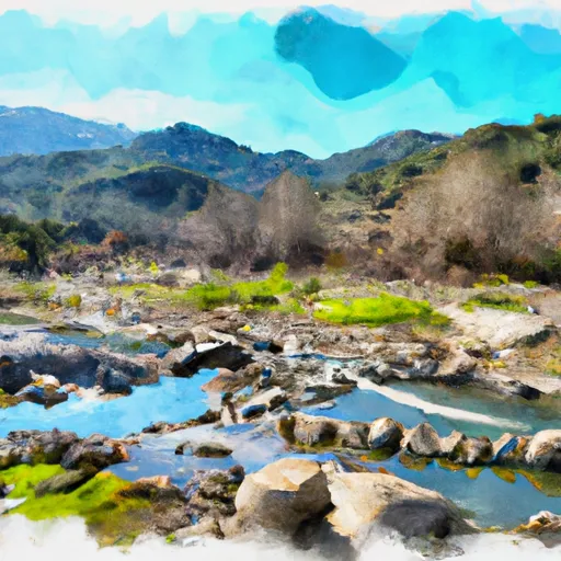 Ladwp Property To Wilderness Boundary
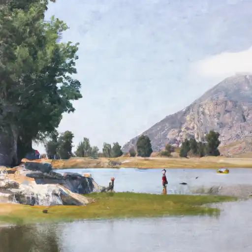 Lone Pine Lake
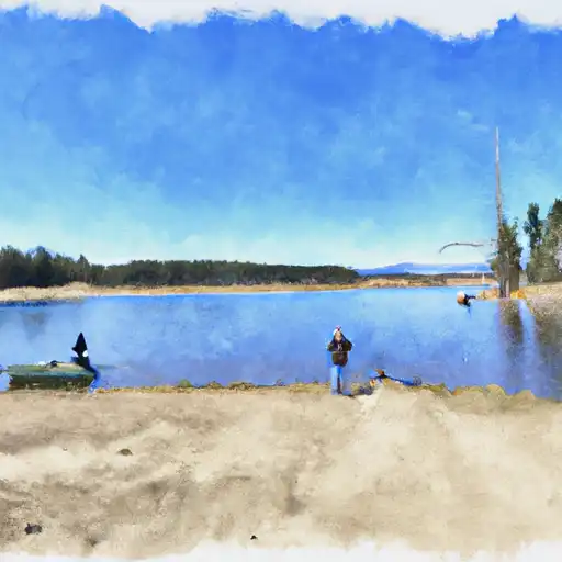 Peanut Lake
 Camp Lake
 Lower Boy Scout Lake
 Meysan Lake