Summary
The ideal streamflow range for this run is between 300-800 cfs, which can be measured at the Whitewater River USGS gauge.
This section of the river is rated as Class III-IV, with notable rapids and obstacles such as The Meatgrinder, Rock Garden, and S-Turns. These rapids require technical maneuvering skills and strong paddling abilities to navigate safely.
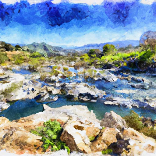
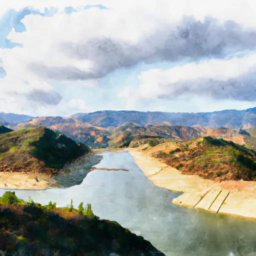
The segment mileage for this run starts at the confluence with Gold Hill Creek and ends at the Castaic Dam. This section of the river provides beautiful scenery as it flows through rugged canyons and steep rock formations.
There are specific regulations that apply to this area, including the requirement for all boaters to wear a personal flotation device (PFD). Additionally, there are seasonal closures and restrictions in place to protect wildlife and habitat in the area.
Overall, the Whitewater River run Confluence With Gold Hill Creek To Castaic is a challenging and scenic river run that requires skill and experience to navigate safely. It is important for boaters to be aware of the specific regulations and to monitor the streamflow levels before embarking on this adventure.
°F
°F
mph
Wind
%
Humidity
15-Day Weather Outlook
River Run Details
| Last Updated | 2023-06-21 |
| River Levels | 22 cfs (4.65 ft) |
| Percent of Normal | 85% |
| Status | |
| Class Level | iii-iv |
| Elevation | ft |
| Streamflow Discharge | cfs |
| Gauge Height | ft |
| Reporting Streamgage | USGS 11109550 |
5-Day Hourly Forecast Detail
Nearby Streamflow Levels
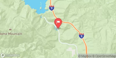 Piru C Ab Frenchmans Flat Ca
|
16cfs |
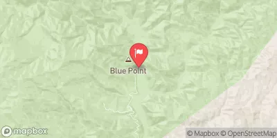 Piru Creek Above Lake Piru Ca
|
164cfs |
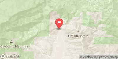 Sespe C Nr Fillmore
|
342cfs |
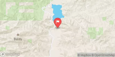 Piru Creek Below Santa Felicia Dam Ca
|
49cfs |
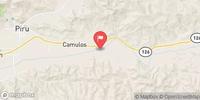 Santa Clara R Nr Piru Ca
|
169cfs |
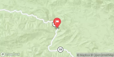 Sespe Creek Near Wheeler Springs Ca
|
37cfs |
Area Campgrounds
| Location | Reservations | Toilets |
|---|---|---|
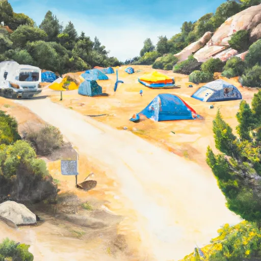 Hardluck
|
||
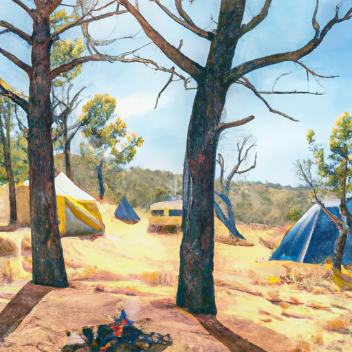 Kings Camp
|
||
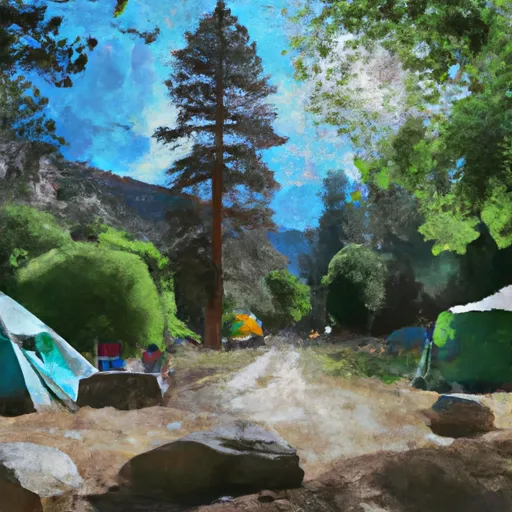 Kings Campground
|
||
 Pyramid Lake--Los Alamos Group Campground
|
||
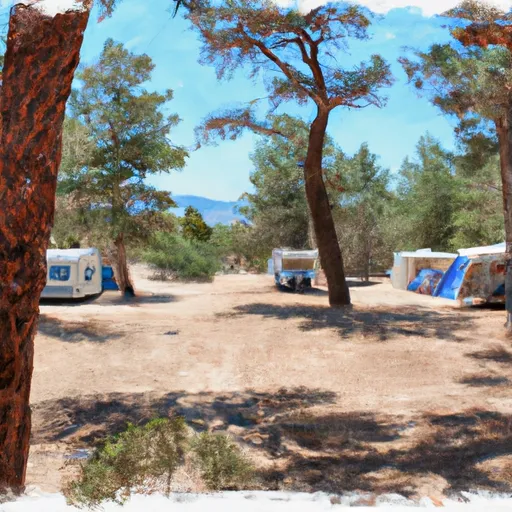 Los Alamos Campground
|
||
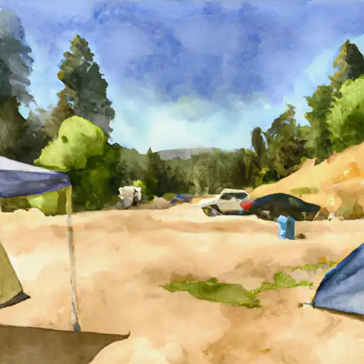 Los Alamos
|


 Pyramid Lake Road, Lebec
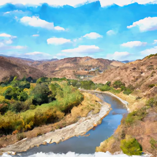 Confluence With Gold Hill Creek To Castaic
 Wilderness Boundary To Confluence With Gold Hill Creek
 Castaic To Pyramid Reservoir