Confluence With Highland Creek To One-Quarter Mile Upstream Forest Road 5no2 Bridge Crossing Paddle Report
Last Updated: 2026-02-07
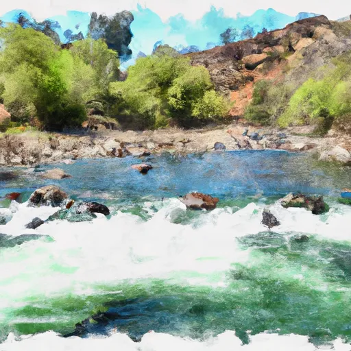
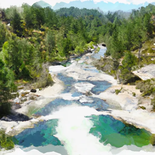
The Whitewater River run from Confluence with Highland Creek to one-quarter mile upstream Forest Road 5No2 Bridge Crossing in California is a popular destination for skilled kayakers and rafters.
Summary
The ideal streamflow range for this segment is between 200 cfs to 1000 cfs, although it is possible to run it at lower or higher flows. This section is rated as Class III-IV, making it an intermediate to advanced level run. The segment covers approximately 5 miles of the river, with several challenging rapids and obstacles such as Snaggletooth, Three-Forks and Widowmaker.
Specific regulations for the area include obtaining a permit from the Bureau of Land Management and following Leave No Trace principles. Camping is allowed in designated areas only and fire permits are required. It is also important to note that the Whitewater River is designated as a Wild and Scenic River, making it subject to additional protections and restrictions.
°F
°F
mph
Wind
%
Humidity
15-Day Weather Outlook
River Run Details
| Last Updated | 2026-02-07 |
| River Levels | 1700 cfs (9.16 ft) |
| Percent of Normal | 148% |
| Status | |
| Class Level | iii-iv |
| Elevation | ft |
| Streamflow Discharge | cfs |
| Gauge Height | ft |
| Reporting Streamgage | USGS 11277300 |
5-Day Hourly Forecast Detail
Nearby Streamflow Levels
Area Campgrounds
River Runs
-
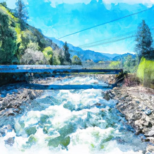 Confluence With Highland Creek To One-Quarter Mile Upstream Forest Road 5No2 Bridge Crossing
-
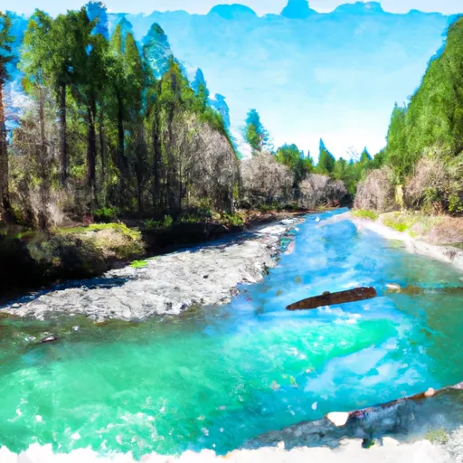 One-Quarter Mile Upstream Of Forest Road 5No2 Bridge Crossing To One-Quarter Mile Downstream Of Forest Road 5N75 Bridge Crossing
-
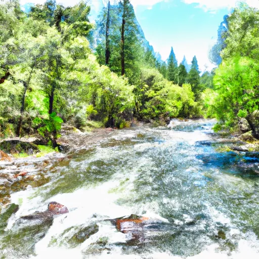 One-Quarter Mile Downstream Of Forest Road 5N75 Bridge Crossing To Calaveras Big Trees State Park Boundary In Sec 24, T5N, R15E
-
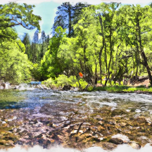 Calaveras Big Trees State Park Boundary In Sec 24, T5N, R15E To One Mile Downstream Of State Park Boundary In Sec 24, T5N, R15E
-
 One Mile Downstream Of State Park Boundary In Sec 24, T5N, R15E To Mckay'S Reservoir
-
 Below Mckay'S Reservoir To Confluence With Middle Fork Stanislaus River


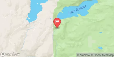

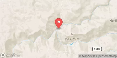
 Wa Ka Luu Hep Yoo (Wild River) Campground
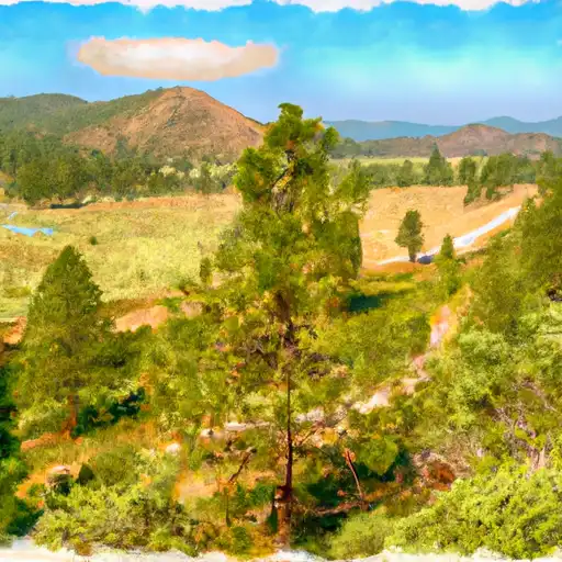 Wa Ka Luu Hep Yoo
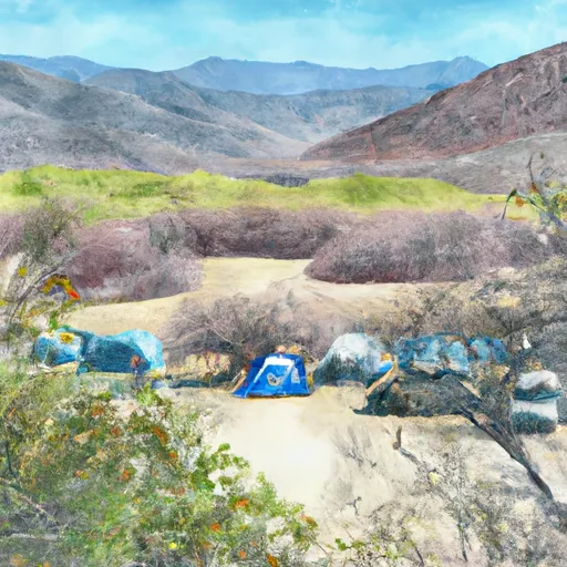 Wakalu Hep Yo (Wild River) Campground
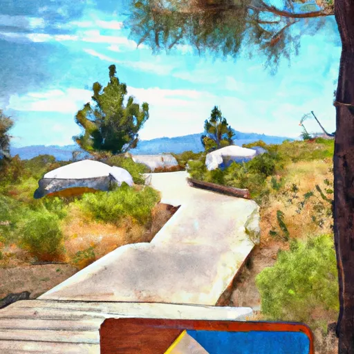 Boards Crossing
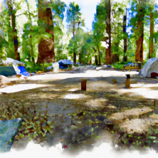 Calaveras Big Trees State Park
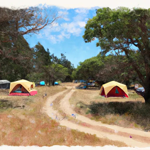 Big Meadow Group Campground